
Drone photography in Airdrie, Alberta
Airdrie has been one of the fastest-growing cities in Canada for over a decade, and entire subdivisions change shape between spring and autumn. Progress that is not photographed at the phase boundary cannot be photographed later — a developer cannot go back and shoot last March.
Does Fly4MEdia fly drones in Airdrie?
Yes. Fly4MEdia flies drone photography and cinematography in Airdrie, Alberta. The airspace is Mixed — control zone edge and local aerodrome. An Advanced RPAS certificate covers the flight, with airspace authorisation in place before the booking is confirmed. From the Calgary base, mobilisation is typically 30 minutes.
Airdrie at a glance.
| Base of operations | Calgary, Alberta |
|---|---|
| Drive time from base | 30 minutes |
| Airspace | Mixed — control zone edge and local aerodrome |
| Nearest aerodrome | Airdrie aerodrome |
| Authorisation required | Yes — filed before booking is confirmed |
| Flight status | Flown with airspace authorisation |
| Certification | Transport Canada RPAS — Advanced Operations |
| Response | Reply within one business day |
| Airspace last verified | 2026-08-31 |
Flying Airdrie: the ground truth.
Airdrie has been one of the fastest-growing cities in Canada for over a decade, and entire subdivisions change shape between spring and autumn. Progress that is not photographed at the phase boundary cannot be photographed later — a developer cannot go back and shoot last March.
Repeat progress passes flown from the same coordinates and altitude produce a sequence that reads as one continuous timeline rather than a set of unrelated photos.
Airspace. Airdrie sits between its own aerodrome and the northern edge of the Calgary International control zone. Both constraints apply across parts of the city, so authorisation status is established per address before a shoot is booked. This is a corridor-level assessment; the specific address is confirmed against NAV Drone before every flight.
Terrain. Flat prairie with shallow drainage. Nothing obstructs a wide frame, which makes subdivision geometry unusually legible from directly overhead.
Wind. Exposed prairie with no terrain shelter. Airdrie regularly holds a steadier and stronger surface wind than Calgary 30 kilometres south.
Light. Long, unobstructed light at both ends of the day. Spring and autumn give the strongest low-angle raking light across new-build streetscapes.
On the ground. City of Airdrie park rules govern launch and landing on municipal land. Development-site work is launched from the site itself with the developer's permission. About 30 minutes north of the Calgary base on Highway 2. Straightforward same-day scheduling.
From the reel
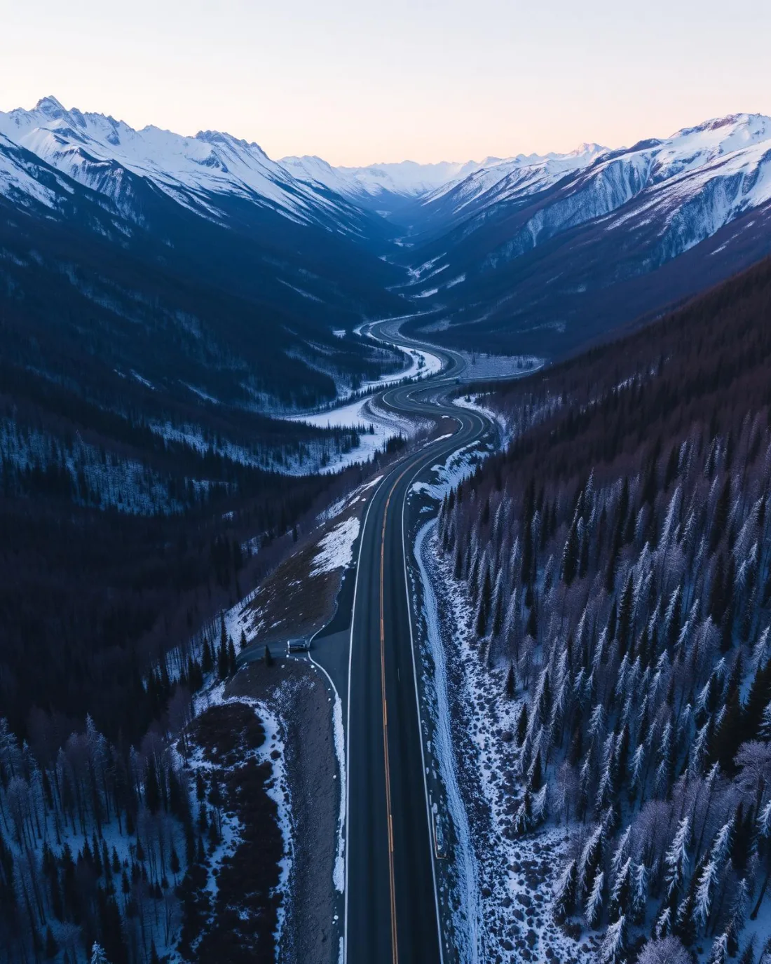
What gets shot in Airdrie.
- new build subdivision
- construction progress
- commercial retail
- industrial yard
Every subject above is delivered through the same aerial photography and cinematography services, scoped and quoted before the shoot is booked.
What the research actually says.
91% less analysis time
Colonial Pipeline reports its drone analytics programme reduced inspection analysis time by 91%, prevented fourteen significant incidents annually and saved $4.2 million in emergency response costs.
Capture is the cheap half. The expensive half is turning imagery into a decision, and that is where the reduction lands.
Reported by Power Engineering, 2025
18 days to 4 hours
Marathon Pipe Line cut its response time to potential pipeline issues from eighteen days to four hours using drone inspection, preventing six major incidents in the first year at a reported saving of $8.3 million.
On linear infrastructure the cost is not the inspection. It is the time between a fault existing and anyone knowing about it.
Reported by Power Engineering, 2025
Advanced certificate
Transport Canada requires a Pilot Certificate for Advanced Operations to fly a remotely piloted aircraft in controlled airspace or near bystanders.
Most of Calgary sits inside the CYYC control zone. An operator without this certificate cannot legally fly the majority of addresses in the city.
Transport Canada, 2025
Airdrie and what surrounds it.
- Aerial photography in Calgary28 km · Class C control zone (CYYC)
- Aerial photography in Crossfield14 km · Class G uncontrolled
- Aerial photography in Balzac10 km · Class C control zone (CYYC)
- Aerial photography in Bearspaw25 km · Mixed — CYBW control zone boundary
- Aerial photography in Chestermere31 km · CYYC control zone outer edge
How an Airdrie shoot runs.
- 01Scope and quote. Most Airdrie work is new build subdivision or construction progress, and the shot list follows the subject. Mobilisation is stated separately from the fee.
- 02Airspace. Airdrie sits under Airdrie aerodrome, 4 km away. Authorisation is filed with NAV CANADA and the date is confirmed once it is in hand.
- 03Weather window. Exposed prairie with no terrain shelter. Airdrie regularly holds a steadier and stronger surface wind than Calgary 30 kilometres south. Long, unobstructed light at both ends of the day. Spring and autumn give the strongest low-angle raking light across new-build streetscapes.
- 04Shoot day. About 30 minutes from the Calgary base. Launch from the subject property with the owner's permission; city of Airdrie park rules govern launch and landing on municipal land. Development-site work is launched from the site itself with the developer's permission.
- 05Delivery. Edited files delivered digitally — no attendance required at any stage, which is how out-of-province owners of Airdrie property are served.
Airdrie questions, answered.
Do you need authorisation to fly a drone in Airdrie?
In most of the city, yes. Airdrie sits between its own aerodrome and the northern edge of the Calgary International control zone, so authorisation status depends on the specific address. It is established before the shoot is booked, not on the day.
How does aerial progress documentation work for an Airdrie development?
Repeat passes are flown from identical coordinates and altitude at agreed intervals. Because the frame does not move, the sequence reads as a single continuous timeline, which is what makes it usable for stakeholder reporting rather than just marketing.
Is Airdrie windier than Calgary for drone work?
Often, yes. Airdrie sits on open prairie with no terrain shelter, so it frequently holds a steadier and stronger surface wind than Calgary does on the same afternoon. Shoot windows are planned against Airdrie's own conditions.
Airdrie is 28 km from Calgary.
Every quote starts at the Calgary base, which is why identical subjects in Airdrie and Calgary — 28 km apart — price differently.
Nearby
Coverage
Airspace information last verified . Rules change — every flight is re-checked before it happens.