
Drone photography in Delacour, Alberta
Delacour is addressed by its roads. The golf course has a named road of its own — Delacour Golf Course Road — and everything else here sits at coordinates on the grid, where Delacour Road meets Range Road 282 and Township Road 251. For a rural property or venue, the buyer's first practical question is the route, and a ground-level photograph cannot answer it. The relationship between gate, road and destination is exactly the information that eye-level frames drop.
Does Fly4MEdia fly drones in Delacour?
Yes. Fly4MEdia flies drone photography and cinematography in Delacour, Alberta. The airspace is Class G uncontrolled. This airspace does not normally require an authorisation. Typical mobilisation from the Calgary base is 30 minutes.
Delacour at a glance.
| Base of operations | Calgary, Alberta |
|---|---|
| Drive time from base | 30 minutes |
| Airspace | Class G uncontrolled |
| Nearest aerodrome | Airdrie aerodrome |
| Authorisation required | No |
| Flight status | Flown routinely |
| Certification | Transport Canada RPAS — Advanced Operations |
| Response | Reply within one business day |
| Airspace last verified | 2026-09-01 |
Flying Delacour: the ground truth.
Delacour is addressed by its roads. The golf course has a named road of its own — Delacour Golf Course Road — and everything else here sits at coordinates on the grid, where Delacour Road meets Range Road 282 and Township Road 251. For a rural property or venue, the buyer's first practical question is the route, and a ground-level photograph cannot answer it. The relationship between gate, road and destination is exactly the information that eye-level frames drop.
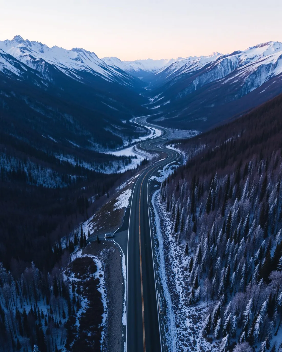
An approach run flown along Delacour Road answers it directly — the road leads the eye to the property and the frame resolves over the site, showing the setting and the way in, delivered in the standard turnaround.
Airspace. In uncontrolled Class G airspace about 16 km from Airdrie aerodrome, Delacour lies outside the charted Calgary-area control zones, and no authorisation is normally required. The specific site and altitude are confirmed against NAV Drone before every flight. This is a corridor-level assessment; the specific address is confirmed against NAV Drone before every flight.
Terrain. Gently rolling farmland folded once by the Delacour Creek Valley; the golf course's turf and tree plantings sit as a managed green block inside otherwise open cropland.
Wind. Chinook-belt country. The land is open enough that west wind carries across it largely unchecked; the Delacour Creek Valley adds the one fold of shelter and texture in an otherwise even flow.
Light. Irrigated turf at the golf club greens ahead of the surrounding fields and holds after they cure, so the contrast between fairway and cropland is strongest outside high summer. Snow flattens that distinction and shifts the shot list to the creek valley and the road grid.
On the ground. The county's park and public-land rules govern launches on municipal ground at Delacour, so flights are staged from private property — the subject parcel or the venue — with consent. About 30 minutes from the Calgary base with no authorisation lead time. Delacour groups well with Dalroy, Balzac or Kathyrn on one trip, which suits multi-property days in this corridor.
From the reel
What gets shot in Delacour.
- commercial retail
- agricultural
Every subject above is delivered through the same aerial photography and cinematography services, scoped and quoted before the shoot is booked.
What the research actually says.
Advanced certificate
Transport Canada requires a Pilot Certificate for Advanced Operations to fly a remotely piloted aircraft in controlled airspace or near bystanders.
Most of Calgary sits inside the CYYC control zone. An operator without this certificate cannot legally fly the majority of addresses in the city.
Transport Canada, 2025
Over $40,000
The National Safety Council puts the average cost of a single workplace injury above forty thousand dollars, before any legal exposure.
Aerial capture removes the requirement to put a person at height or in a confined space to obtain the same image. That is a risk transfer, not a convenience.
Reported by National Safety Council, cited by DSLRPros, 2025
30% more
McKinsey research cited across the inspection sector finds that organisations relying on manual inspection spend materially more on maintenance and safety than those using drone-based assessment.
For a portfolio of assets, the inspection method is a recurring cost line, not a one-off purchase. The differential compounds annually.
Reported by McKinsey & Company, cited by Averroes, 2025
Delacour and what surrounds it.
- Aerial photography in Dalroy8 km · Class C control zone (CYYC)
- Aerial photography in Balzac17 km · Class C control zone (CYYC)
- Aerial photography in Kathyrn19 km · Class G uncontrolled
- Aerial photography in Conrich9 km · CYYC control zone vicinity
- Aerial photography in Langdon21 km · Class G uncontrolled
How a Delacour shoot runs.
- 01Scope and quote. Most Delacour work is commercial retail or agricultural, and the shot list follows the subject. Mobilisation is stated separately from the fee.
- 02Airspace. Checked against NAV Drone from the address, not the postcode. Delacour is class g uncontrolled, so authorisation is not normally required — but Airdrie aerodrome is 16 km away and its circuit is plotted regardless.
- 03Weather window. Chinook-belt country. The land is open enough that west wind carries across it largely unchecked; the Delacour Creek Valley adds the one fold of shelter and texture in an otherwise even flow. Irrigated turf at the golf club greens ahead of the surrounding fields and holds after they cure, so the contrast between fairway and cropland is strongest outside high summer. Snow flattens that distinction and shifts the shot list to the creek valley and the road grid.
- 04Shoot day. About 30 minutes from the Calgary base. Launch from the subject property with the owner's permission; the county's park and public-land rules govern launches on municipal ground at Delacour, so flights are staged from private property — the subject parcel or the venue — with consent.
- 05Delivery. Edited files delivered digitally — no attendance required at any stage, which is how out-of-province owners of Delacour property are served.
Delacour questions, answered.
Can a drone be flown at Delacour without special approval?
In most cases, yes. Delacour lies in uncontrolled Class G airspace outside the charted Calgary-area control zones, about 16 km from Airdrie aerodrome, so no airspace authorisation is normally required. The specific site and altitude are still checked against NAV Drone before every flight goes ahead.
Can you photograph the Delacour Golf Club from the air?
Yes, with the club's consent for launch and a flight plan built around play. Aerial frames are how a course shows its routing, its turf and its setting against the Delacour Creek Valley — relationships a ground camera cannot compress into a single image at any focal length.
How does the drive time affect booking at Delacour?
Delacour is about 30 minutes from the Calgary base, close enough for same-day work when the weather cooperates. It also groups well with Dalroy, Balzac or Kathyrn on one trip, which is the efficient way to cover several rural properties across this corridor in a single booking.
Delacour is 8 km from Dalroy.
Every quote starts at the Calgary base, which is why identical subjects in Delacour and Dalroy — 8 km apart — price differently.
Nearby
Coverage
Airspace information last verified . Rules change — every flight is re-checked before it happens.