
Drone photography in Indus, Alberta
Indus has an active private airfield in the middle of otherwise open uncontrolled farmland. A pilot who checks only for controlled airspace sees a clear result and misses the circuit traffic overhead entirely.
Does Fly4MEdia fly drones in Indus?
Yes. Fly4MEdia flies drone photography and cinematography in Indus, Alberta. The airspace is Class G uncontrolled, local aerodrome nearby. Authorisation is not normally required in this airspace. Typical mobilisation from the Calgary base is 30 minutes.
Indus at a glance.
| Base of operations | Calgary, Alberta |
|---|---|
| Drive time from base | 30 minutes |
| Airspace | Class G uncontrolled, local aerodrome nearby |
| Nearest aerodrome | Kirkby Field (Indus) |
| Authorisation required | No |
| Flight status | Flown routinely |
| Certification | Transport Canada RPAS — Advanced Operations |
| Response | Reply within one business day |
| Airspace last verified | 2026-08-31 |
Flying Indus: the ground truth.
Indus has an active private airfield in the middle of otherwise open uncontrolled farmland. A pilot who checks only for controlled airspace sees a clear result and misses the circuit traffic overhead entirely.
Local aerodrome activity is plotted alongside the airspace check, because uncontrolled does not mean unoccupied.
Airspace. Indus sits in uncontrolled Class G airspace, but a private aerodrome operates nearby and its circuit is plotted before any local flight. This is a corridor-level assessment; the specific address is confirmed against NAV Drone before every flight.
Terrain. Open agricultural land on the survey grid, with the Bow River corridor to the south-west providing the only relief.
Wind. Open prairie exposure, steady and unbroken across the section grid.
Light. Cultivation cycle governs the look; post-harvest is clearest for boundary and access work.
On the ground. Rocky View County rules apply; launch is arranged on the subject parcel with the landowner's permission. About 30 minutes south-east of the Calgary base.
From the reel
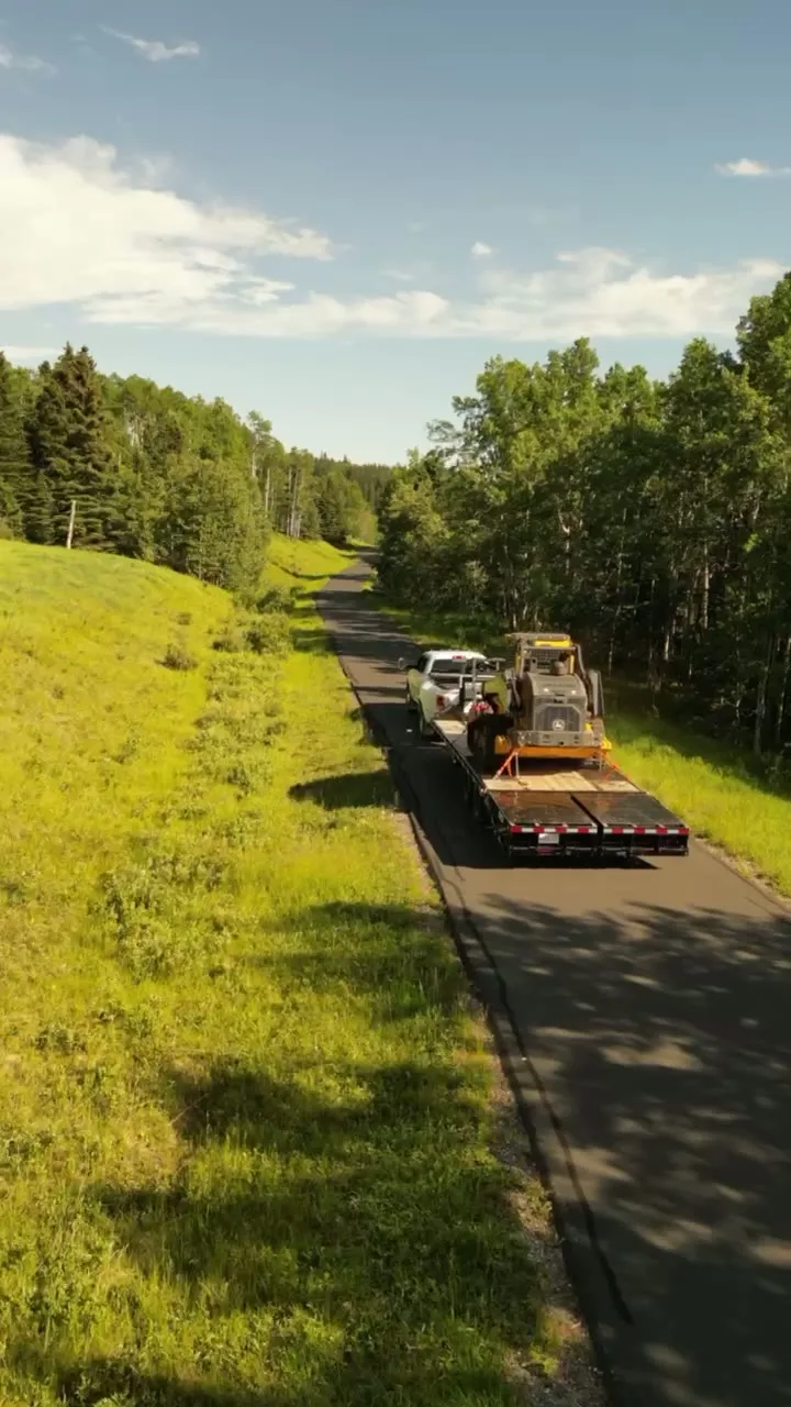
What gets shot in Indus.
- agricultural
- acreage estate
Every subject above is delivered through the same aerial photography and cinematography services, scoped and quoted before the shoot is booked.
What the research actually says.
USD 9.83 billion
Emergen Research sizes the global drone inspection and monitoring market at nearly ten billion dollars in 2025, growing at a 16.4% compound annual rate.
Aerial capture is a procured category with established vendors and comparable rates, not an experimental line item requiring internal justification.
Emergen Research, 2025
Up to 75% less time
McKinsey & Company reports that drones can cut surveying time by up to three quarters against traditional ground methods — a three-day site survey completed inside one.
On a consulting engagement billed by the day, survey duration is not a line item. It is the schedule.
Reported by McKinsey & Company, cited by Datumate, 2025
Industry standard
The National Association of Realtors maintains dedicated guidance on commercial drone use in listing marketing, including the certification and airspace rules an operator must meet.
Aerial media is an established part of listing marketing with real compliance requirements. The question is whether your operator meets them, not whether to use it.
Indus and what surrounds it.
- Aerial photography in Langdon8 km · Class G uncontrolled
- Aerial photography in Conrich17 km · CYYC control zone vicinity
- Aerial photography in Chestermere11 km · CYYC control zone outer edge
- Aerial photography in De Winton17 km · Class G uncontrolled
- Aerial photography in Strathmore28 km · Class G uncontrolled
How an Indus shoot runs.
- 01Scope and quote. Most Indus work is agricultural or acreage estate, and the shot list follows the subject. Mobilisation is stated separately from the fee.
- 02Airspace. Checked against NAV Drone from the address, not the postcode. Indus is class g uncontrolled, local aerodrome nearby, so authorisation is not normally required — but Kirkby Field (Indus) is 3 km away and its circuit is plotted regardless.
- 03Weather window. Open prairie exposure, steady and unbroken across the section grid. Cultivation cycle governs the look; post-harvest is clearest for boundary and access work.
- 04Shoot day. About 30 minutes from the Calgary base. Launch from the subject property with the owner's permission; rocky View County rules apply; launch is arranged on the subject parcel with the landowner's permission.
- 05Delivery. Edited files delivered digitally — no attendance required at any stage, which is how out-of-province owners of Indus property are served.
Indus questions, answered.
Can you fly a drone near Indus?
Yes. Indus sits in uncontrolled Class G airspace, so no NAV CANADA authorisation is normally required. A private aerodrome operates nearby, so its circuit is plotted on the flight plan before takeoff.
Does uncontrolled airspace mean there is no air traffic?
No, and that is a common and dangerous assumption. Uncontrolled means no clearance is required, not that nothing is flying. Private airfields like the one at Indus generate real circuit traffic in otherwise open airspace.
Indus is 8 km from Langdon.
Mobilisation is quoted from the Calgary base, so a shoot in Indus and one 8 km away in Langdon are priced differently even when the subject is identical.
Nearby
Coverage
Airspace information last verified . Rules change — every flight is re-checked before it happens.