
Drone photography in Priddis, Alberta
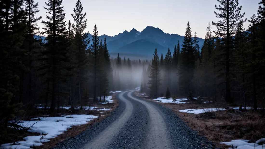
Priddis sits in the first real fold of the foothills, where the ground stops being prairie and starts having genuine relief. That relief hides property boundaries completely — a parcel can run over a ridge and out of sight from every point on the driveway.
Does Fly4MEdia fly drones in Priddis?
Yes. Fly4MEdia flies drone photography and cinematography in Priddis, Alberta. The airspace is Class G uncontrolled. This airspace does not normally require an authorisation. Typical mobilisation from the Calgary base is 35 minutes.
Priddis at a glance.
| Base of operations | Calgary, Alberta |
|---|---|
| Drive time from base | 35 minutes |
| Airspace | Class G uncontrolled |
| Nearest aerodrome | Springbank Airport (CYBW) |
| Authorisation required | No |
| Flight status | Flown routinely |
| Certification | Transport Canada RPAS — Advanced Operations |
| Response | Reply within one business day |
| Airspace last verified | 2026-08-31 |
Flying Priddis: the ground truth.
Priddis sits in the first real fold of the foothills, where the ground stops being prairie and starts having genuine relief. That relief hides property boundaries completely — a parcel can run over a ridge and out of sight from every point on the driveway.
An altitude pass flattens the terrain into a readable plan view while a lower orbit preserves the sense of the fold, and both go in the same delivery.
Airspace. Priddis sits in uncontrolled Class G airspace south-west of the Springbank control zone. The northern parcels are confirmed individually. This is a corridor-level assessment; the specific address is confirmed against NAV Drone before every flight.
Terrain. Genuine foothills relief — folded ridges and wooded draws, with parcels frequently running over more than one crest.
Wind. Ridge-and-draw wind behaviour, with sharp local variation over short distances.
Light. Autumn colour in the draws gives the strongest separation; winter shows terrain shape most clearly under low sun.
On the ground. Foothills County rules apply; Kananaskis provincial land begins further west and carries separate restrictions. About 35 minutes south-west of the Calgary base on Highway 22.
From the reel
What gets shot in Priddis.
- acreage estate
- resort terrain
Every subject above is delivered through the same aerial photography and cinematography services, scoped and quoted before the shoot is booked.
What the research actually says.
Advanced certificate
Transport Canada requires a Pilot Certificate for Advanced Operations to fly a remotely piloted aircraft in controlled airspace or near bystanders.
Most of Calgary sits inside the CYYC control zone. An operator without this certificate cannot legally fly the majority of addresses in the city.
Transport Canada, 2025
68% faster
Listings marketed with aerial photography have been reported to sell substantially faster than those using ground photography alone.
On a listing carrying monthly holding costs, the weeks removed from time-on-market are the return on the shoot.
Reported by RubyHome, real estate photography research roundup, 2024
Industry standard
The National Association of Realtors maintains dedicated guidance on commercial drone use in listing marketing, including the certification and airspace rules an operator must meet.
Aerial media is an established part of listing marketing with real compliance requirements. The question is whether your operator meets them, not whether to use it.
Priddis and what surrounds it.
- Aerial photography in Bragg Creek19 km · Class G uncontrolled
- Aerial photography in De Winton27 km · Class G uncontrolled
- Aerial photography in Okotoks30 km · Class G uncontrolled
- Aerial photography in Elbow Valley15 km · Class C control zone (CYBW) vicinity
- Aerial photography in Millarville16 km · Class G uncontrolled
How a Priddis shoot runs.
- 01Scope and quote. Most Priddis work is acreage estate or resort terrain, and the shot list follows the subject. Mobilisation is stated separately from the fee.
- 02Airspace. Checked against NAV Drone from the address, not the postcode. Priddis is class g uncontrolled, so authorisation is not normally required — but Springbank Airport (CYBW) is 21 km away and its circuit is plotted regardless.
- 03Weather window. Ridge-and-draw wind behaviour, with sharp local variation over short distances. Autumn colour in the draws gives the strongest separation; winter shows terrain shape most clearly under low sun.
- 04Shoot day. About 35 minutes from the Calgary base. Launch from the subject property with the owner's permission; foothills County rules apply; Kananaskis provincial land begins further west and carries separate restrictions.
- 05Delivery. Edited files delivered digitally — no attendance required at any stage, which is how out-of-province owners of Priddis property are served.
Priddis questions, answered.
Can you fly a drone in Priddis?
Yes. Priddis sits in uncontrolled Class G airspace south-west of the Springbank control zone, so no authorisation is normally required. Northern parcels closest to the boundary are confirmed individually.
How does foothills terrain change an acreage shoot?
It hides the parcel. Around Priddis a property can run over a ridge and be entirely invisible from the driveway. The delivery pairs a high plan view for boundaries with a lower orbit that keeps the sense of the terrain.
Priddis is 19 km from Bragg Creek.
Mobilisation is quoted from the Calgary base, so a shoot in Priddis and one 19 km away in Bragg Creek are priced differently even when the subject is identical.
Nearby
Coverage
Airspace information last verified . Rules change — every flight is re-checked before it happens.