
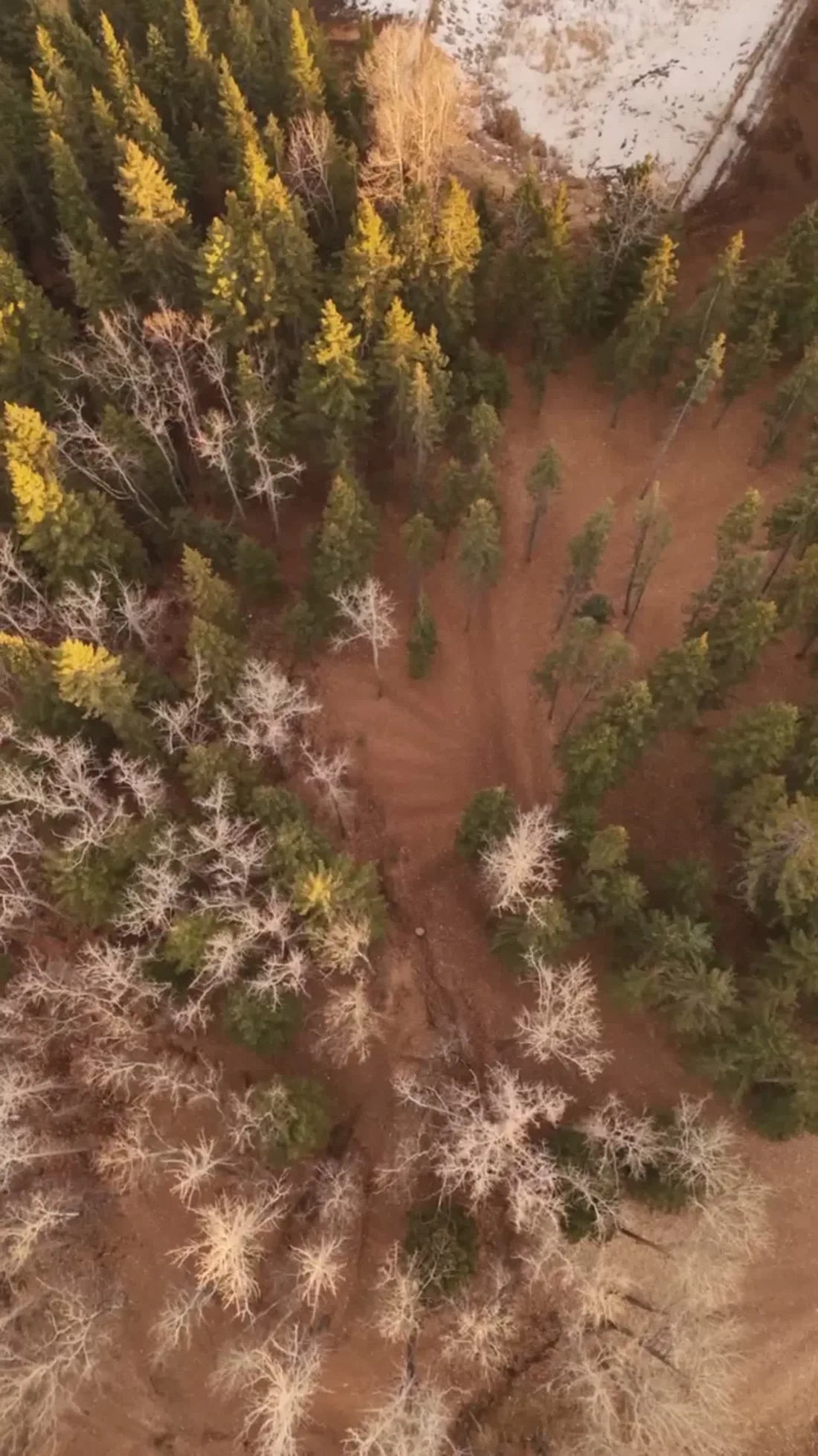
Drone photography in South Canmore, Alberta
South Canmore's grid simply runs out of road at the river — Main St ends short of the Bow, and the crossing that anchors the frame is the Canmore Engine Bridge, a rail-era span that now carries foot traffic. That geography is the value and it is invisible from the ground: a buyer cannot tell that a 9th St address sits a few quiet blocks from the Main Street shops with the river, not through-traffic, at the end of the street.
Does Fly4MEdia fly drones in South Canmore?
Yes. Fly4MEdia flies drone photography and cinematography in South Canmore, Alberta. The airspace is Class G uncontrolled, local aerodrome nearby. This airspace does not normally require an authorisation. Typical mobilisation from the Calgary base is 1.3 hours.
South Canmore at a glance.
| Base of operations | Calgary, Alberta |
|---|---|
| Drive time from base | 1.3 hours |
| Airspace | Class G uncontrolled, local aerodrome nearby |
| Nearest aerodrome | Canmore municipal heliport |
| Authorisation required | No |
| Flight status | Flown routinely |
| Certification | Transport Canada RPAS — Advanced Operations |
| Response | Reply within one business day |
| Airspace last verified | 2026-09-01 |
Flying South Canmore: the ground truth.
South Canmore's grid simply runs out of road at the river — Main St ends short of the Bow, and the crossing that anchors the frame is the Canmore Engine Bridge, a rail-era span that now carries foot traffic. That geography is the value and it is invisible from the ground: a buyer cannot tell that a 9th St address sits a few quiet blocks from the Main Street shops with the river, not through-traffic, at the end of the street.
An approach run along the river line, then a rising reveal up the grid to the property, shows the quiet end of town and its walk to everything in one sequence — delivered in the standard turnaround.
Airspace. In uncontrolled Class G airspace about 2 km from Canmore municipal heliport, South Canmore lies outside the charted Calgary-area control zones, and no authorisation is normally required. Canmore municipal heliport runs local circuit traffic nearby, so flights are planned with its procedures in mind. The specific site and altitude are confirmed against NAV Drone before every flight. This is a corridor-level assessment; the specific address is confirmed against NAV Drone before every flight.
Terrain. The flat southern corner of the townsite grid, bounded by the Bow on one side and Policeman's Creek threading the other, with Riverside Park holding the river edge.
Wind. Chinook belt, funnelled: the Bow Valley squeezes westerly flow along its axis, and the river-flat blocks feel it with little shelter.
Light. The river edge gives a short, strong autumn colour window; midsummer evenings run longest, and the surrounding peaks keep snow in the backdrop long after the streets are dry.
On the ground. Riverside Park and the rest of the municipal park network fall under Town of Canmore takeoff and landing rules; launches stage from private property with consent. About 75 minutes from Calgary on the Trans-Canada. Same-day shoots are practical, and Teepee Town or Lions Park addresses can share the mobilisation.
From the reel
What gets shot in South Canmore.
- luxury residential
- tourism hospitality
Every subject above is delivered through the same aerial photography and cinematography services, scoped and quoted before the shoot is booked.
What the research actually says.
USD 9.83 billion
Emergen Research sizes the global drone inspection and monitoring market at nearly ten billion dollars in 2025, growing at a 16.4% compound annual rate.
Aerial capture is a procured category with established vendors and comparable rates, not an experimental line item requiring internal justification.
Emergen Research, 2025
Industry standard
The National Association of Realtors maintains dedicated guidance on commercial drone use in listing marketing, including the certification and airspace rules an operator must meet.
Aerial media is an established part of listing marketing with real compliance requirements. The question is whether your operator meets them, not whether to use it.
68% faster
Listings marketed with aerial photography have been reported to sell substantially faster than those using ground photography alone.
On a listing carrying monthly holding costs, the weeks removed from time-on-market are the return on the shoot.
Reported by RubyHome, real estate photography research roundup, 2024
South Canmore and what surrounds it.
- Aerial photography in Teepee Town1 km · Class G uncontrolled, local aerodrome nearby
- Aerial photography in Lions Park1 km · Class G uncontrolled, local aerodrome nearby
- Aerial photography in Palliser1 km · Class G uncontrolled, local aerodrome nearby
- Aerial photography in Homesteads2 km · Class G uncontrolled, local aerodrome nearby
- Aerial photography in Canmore1 km · Class G uncontrolled, adjacent to Banff National Park
How a South Canmore shoot runs.
- 01Scope and quote. Most South Canmore work is luxury residential or tourism hospitality, and the shot list follows the subject. Mobilisation is stated separately from the fee.
- 02Airspace. Checked against NAV Drone from the address, not the postcode. South Canmore is class g uncontrolled, local aerodrome nearby, so authorisation is not normally required — but Canmore municipal heliport is 2 km away and its circuit is plotted regardless.
- 03Weather window. Chinook belt, funnelled: the Bow Valley squeezes westerly flow along its axis, and the river-flat blocks feel it with little shelter. The river edge gives a short, strong autumn colour window; midsummer evenings run longest, and the surrounding peaks keep snow in the backdrop long after the streets are dry.
- 04Shoot day. About 75 minutes from the Calgary base. Launch from the subject property with the owner's permission; riverside Park and the rest of the municipal park network fall under Town of Canmore takeoff and landing rules; launches stage from private property with consent.
- 05Delivery. Edited files delivered digitally — no attendance required at any stage, which is how out-of-province owners of South Canmore property are served.
South Canmore questions, answered.
Are drones allowed over South Canmore's riverside blocks?
Yes. South Canmore is uncontrolled Class G airspace and no authorisation is normally required. Two things still shape the plan: the municipal heliport about 2 kilometres away, whose circuit traffic is respected, and Town of Canmore park rules, which keep launches on private property. The site is confirmed against NAV Drone first.
What does an aerial reveal about a South Canmore address that street photos cannot?
The geography of quiet. From altitude the frame shows the grid ending at the Bow, the Canmore Engine Bridge carrying foot traffic instead of trains, and Main Street shops a few blocks off — a property's distance from noise and its walk to everything, read in a single image.
South Canmore is 1 km from Teepee Town.
Every quote starts at the Calgary base, which is why identical subjects in South Canmore and Teepee Town — 1 km apart — price differently.
Nearby
Coverage
Airspace information last verified . Rules change — every flight is re-checked before it happens.