
Drone photography in West Springs, Alberta
West Springs is young from the air: along West Grove Rise SW and Westland Road SW the trees have not yet grown into the streetscape, so the seasons here register through the ground plane — lawn green, shoulder-season brown, fresh snow — rather than through canopy colour. Autumn, which flatters mature communities, does little here: an October frame catches neither summer green nor winter white, and new streets photographed on bare sod read unfinished even when the homes are not.
Does Fly4MEdia fly drones in West Springs?
Yes. Fly4MEdia flies drone photography and cinematography in West Springs, Alberta. The airspace is CYYC control zone edge. Work here flies under an Advanced RPAS certificate, and the airspace authorisation is filed before any shoot date is confirmed. From the Calgary base, mobilisation is typically 20 minutes.
West Springs at a glance.
| Base of operations | Calgary, Alberta |
|---|---|
| Drive time from base | 20 minutes |
| Airspace | CYYC control zone edge |
| Nearest aerodrome | Calgary International Airport (CYYC) |
| Authorisation required | Yes — filed before booking is confirmed |
| Flight status | Flown with airspace authorisation |
| Certification | Transport Canada RPAS — Advanced Operations |
| Response | Reply within one business day |
| Airspace last verified | 2026-09-01 |
Flying West Springs: the ground truth.
West Springs is young from the air: along West Grove Rise SW and Westland Road SW the trees have not yet grown into the streetscape, so the seasons here register through the ground plane — lawn green, shoulder-season brown, fresh snow — rather than through canopy colour. Autumn, which flatters mature communities, does little here: an October frame catches neither summer green nor winter white, and new streets photographed on bare sod read unfinished even when the homes are not.
Shoots are slotted to the ground plane's strong states — full green or fresh snow — and a build-progress series is scheduled the same way, so the community photographs at its best in every frame, delivered in the standard turnaround.
Airspace. At about 14 km from Calgary International, West Springs runs close to the charted edge of the CYYC control zone — which side of the line an address falls on decides the paperwork. Planning treats it as controlled airspace until NAV Drone shows otherwise, and any required authorisation is filed before the date is booked. The specific site and altitude are confirmed against NAV Drone before every flight. This is a corridor-level assessment; the specific address is confirmed against NAV Drone before every flight.
Terrain. Gently rolling upland at the city's western limit. New and recent phases spread between West Springs School and the retail edge at Aspen Landing Shopping Centre, with open ground still visible between the built pockets.
Wind. Chinook belt at the west edge of the city: wind off the foothills arrives here early, with little built or natural shelter upwind. Winter flight windows follow the gust cycle rather than the daily average.
Light. With little canopy, light does the work: long summer evenings model the rooflines cleanly, fresh snow gives the sharpest winter frames, and the brown shoulder weeks are avoided by scheduling. Open slopes clear snow days ahead of shaded ground.
On the ground. Drone takeoff and landing in Calgary's municipal parks and on public pathways is restricted by bylaw, so West Springs launches are staged from private property — commonly a builder's lot or the client's own — with consent. About 20 minutes from the Calgary base. A West Springs visit pairs on one mobilisation with Aspen Woods, Cougar Ridge, Discovery Ridge or Springbank Hill.
From the reel
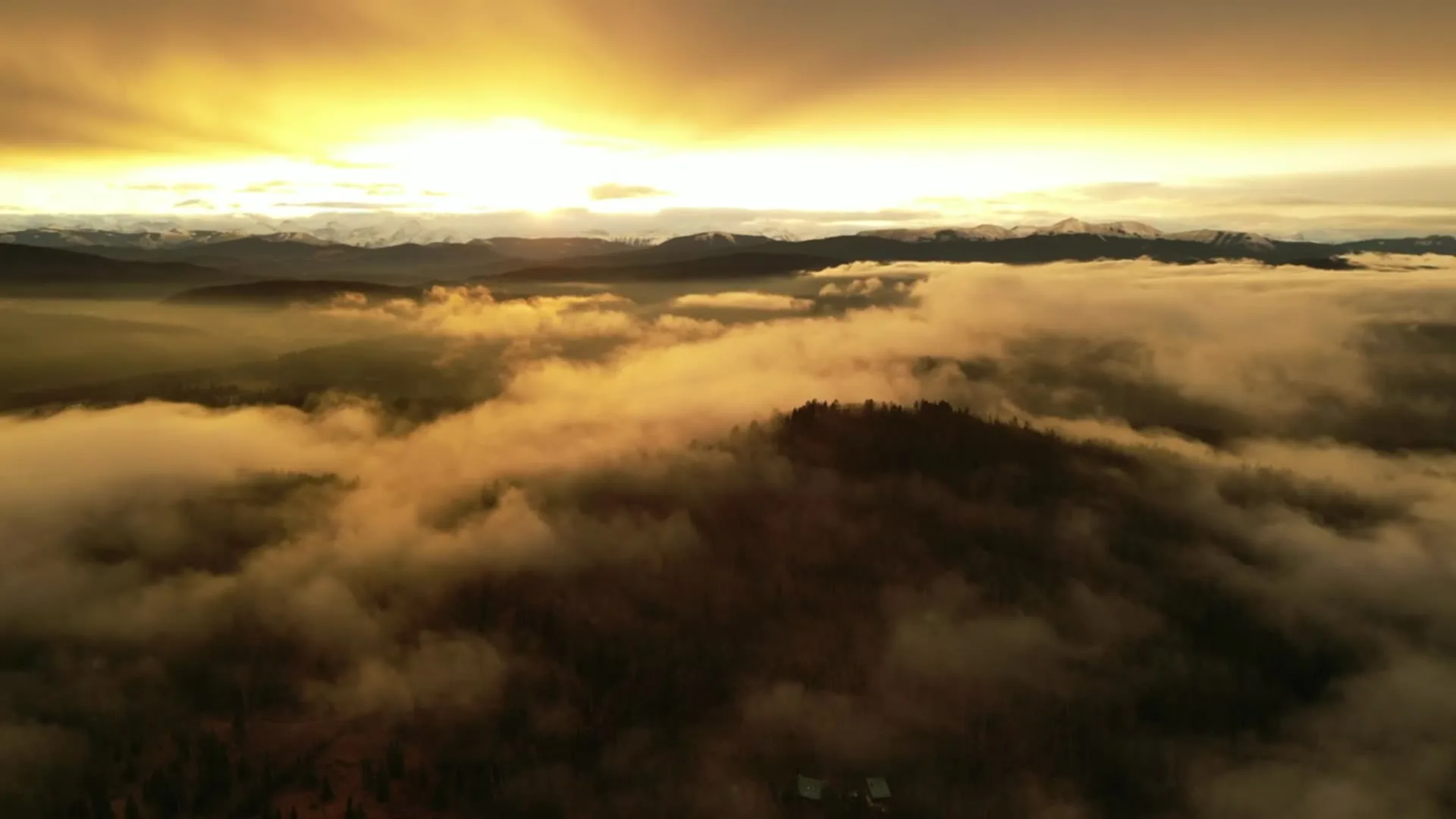
What gets shot in West Springs.
- luxury residential
- new build subdivision
- commercial retail
- construction progress
Every subject above is delivered through the same aerial photography and cinematography services, scoped and quoted before the shoot is booked.
What the research actually says.
91% less analysis time
Colonial Pipeline reports its drone analytics programme reduced inspection analysis time by 91%, prevented fourteen significant incidents annually and saved $4.2 million in emergency response costs.
Capture is the cheap half. The expensive half is turning imagery into a decision, and that is where the reduction lands.
Reported by Power Engineering, 2025
USD 9.83 billion
Emergen Research sizes the global drone inspection and monitoring market at nearly ten billion dollars in 2025, growing at a 16.4% compound annual rate.
Aerial capture is a procured category with established vendors and comparable rates, not an experimental line item requiring internal justification.
Emergen Research, 2025
Up to 75% less time
McKinsey & Company reports that drones can cut surveying time by up to three quarters against traditional ground methods — a three-day site survey completed inside one.
On a consulting engagement billed by the day, survey duration is not a line item. It is the schedule.
Reported by McKinsey & Company, cited by Datumate, 2025
West Springs and what surrounds it.
- Aerial photography in Aspen Woods3 km · Controlled — between CYYC and CYBW
- Aerial photography in Cougar Ridge2 km · CYYC control zone edge
- Aerial photography in Discovery Ridge4 km · Controlled — between CYYC and CYBW
- Aerial photography in Springbank Hill3 km · CYYC control zone edge
- Aerial photography in Altadore9 km · CYYC control zone edge
How a West Springs shoot runs.
- 01Scope and quote. Most West Springs work is luxury residential or new build subdivision, and the shot list follows the subject. Mobilisation is stated separately from the fee.
- 02Airspace. West Springs sits under Calgary International Airport (CYYC), 14 km away. Authorisation is filed with NAV CANADA and the date is confirmed once it is in hand.
- 03Weather window. Chinook belt at the west edge of the city: wind off the foothills arrives here early, with little built or natural shelter upwind. Winter flight windows follow the gust cycle rather than the daily average. With little canopy, light does the work: long summer evenings model the rooflines cleanly, fresh snow gives the sharpest winter frames, and the brown shoulder weeks are avoided by scheduling. Open slopes clear snow days ahead of shaded ground.
- 04Shoot day. About 20 minutes from the Calgary base. Launch from the subject property with the owner's permission; drone takeoff and landing in Calgary's municipal parks and on public pathways is restricted by bylaw, so West Springs launches are staged from private property — commonly a builder's lot or the client's own — with consent.
- 05Delivery. Edited files delivered digitally — no attendance required at any stage, which is how out-of-province owners of West Springs property are served.
West Springs questions, answered.
Is West Springs controlled or uncontrolled airspace for drones?
It is treated as controlled until proven otherwise. West Springs sits about 14 km from Calgary International, near the charted CYYC control-zone boundary, where the exact address decides the paperwork. NAV Drone is checked for the specific site, and any required authorisation is filed before the shoot date is booked.
When does a new-build West Springs street photograph best from the air?
In one of two states: full summer green, once sod and early landscaping have taken, or clean fresh snow, which unifies unfinished ground. The shoulder weeks between them read as bare earth and are avoided. Scheduling to those windows costs nothing and changes the result completely.
West Springs is 3 km from Aspen Woods.
Every quote starts at the Calgary base, which is why identical subjects in West Springs and Aspen Woods — 3 km apart — price differently.
Nearby
Coverage
Airspace information last verified . Rules change — every flight is re-checked before it happens.