
Drone photography in Applewood Park, Alberta
Applewood Park sits on Calgary's flat east side, and a chinook that has crossed the entire city arrives at 68 Street SE with nothing left in its path to slow it down. On a gusty afternoon that shows up as shake in stabilised video and drift in long exposures. A shoot booked against the citywide average wind speed, rather than the gust spread, is the shoot that gets rescheduled.
Does Fly4MEdia fly drones in Applewood Park?
Yes. Fly4MEdia flies drone photography and cinematography in Applewood Park, Alberta. The airspace is Class C control zone (CYYC). Flights are conducted under an Advanced RPAS certificate with airspace authorisation filed before the shoot is confirmed. From the Calgary base, mobilisation is typically 20 minutes.
Applewood Park at a glance.
| Base of operations | Calgary, Alberta |
|---|---|
| Drive time from base | 20 minutes |
| Airspace | Class C control zone (CYYC) |
| Nearest aerodrome | Calgary International Airport (CYYC) |
| Authorisation required | Yes — filed before booking is confirmed |
| Flight status | Flown with airspace authorisation |
| Certification | Transport Canada RPAS — Advanced Operations |
| Response | Reply within one business day |
| Airspace last verified | 2026-09-01 |
Flying Applewood Park: the ground truth.
Applewood Park sits on Calgary's flat east side, and a chinook that has crossed the entire city arrives at 68 Street SE with nothing left in its path to slow it down. On a gusty afternoon that shows up as shake in stabilised video and drift in long exposures. A shoot booked against the citywide average wind speed, rather than the gust spread, is the shoot that gets rescheduled.
Flight windows here are set against forecast gusts, not averages — usually the calm early hours or the evening drop — and the footage is delivered in the standard turnaround.
Airspace. Applewood Park sits about 8 km from Calgary International, inside the CYYC control zone as charted. Flights here are conducted under an Advanced RPAS certificate with a NAV CANADA RPAS authorisation obtained before the shoot is confirmed. Peter Lougheed Centre heliport operates about 3 km away, and flight plans keep clear of its approaches. Before any flight, the exact site and altitude are checked against NAV Drone. This is a corridor-level assessment; the specific address is confirmed against NAV Drone before every flight.
Terrain. Flat prairie grade on the city's east side, with compact residential streets opening onto the green of Applewood Park and the open ground of Elliston Park close by.
Wind. Squarely in the chinook belt and fully exposed. There is no valley or ridge here to shelter a launch site; wind at street level closely tracks wind at altitude.
Light. Open, level ground means the low sun works the frame at both ends of the day. Snow cover comes and goes with each chinook through winter, and green-up in Applewood Park marks the start of the reliable spring window.
On the ground. Calgary's parks bylaws do not permit drone launch or recovery in municipal parks or on pathways; takeoff is staged from private property with the client's permission. About 20 minutes from the Calgary base. Applewood Park pairs easily with Abbeydale or Marlborough Park on a single trip east.
From the reel
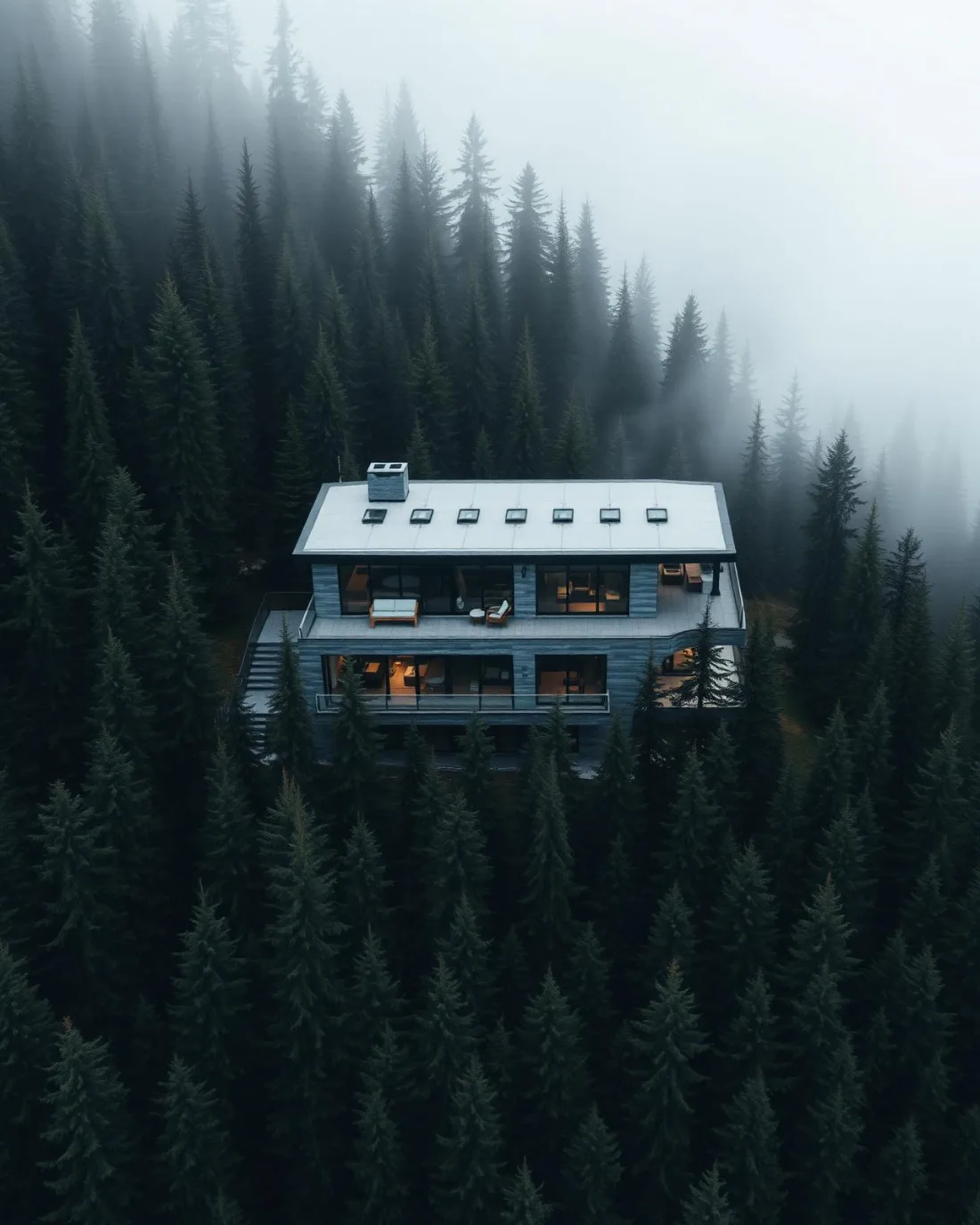
What gets shot in Applewood Park.
- luxury residential
- commercial retail
- construction progress
Every subject above is delivered through the same aerial photography and cinematography services, scoped and quoted before the shoot is booked.
What the research actually says.
91% less analysis time
Colonial Pipeline reports its drone analytics programme reduced inspection analysis time by 91%, prevented fourteen significant incidents annually and saved $4.2 million in emergency response costs.
Capture is the cheap half. The expensive half is turning imagery into a decision, and that is where the reduction lands.
Reported by Power Engineering, 2025
30% more
McKinsey research cited across the inspection sector finds that organisations relying on manual inspection spend materially more on maintenance and safety than those using drone-based assessment.
For a portfolio of assets, the inspection method is a recurring cost line, not a one-off purchase. The differential compounds annually.
Reported by McKinsey & Company, cited by Averroes, 2025
40–60% lower
Construction programmes adopting systematic drone survey report reductions of roughly half in surveying cost, alongside faster data collection.
The saving is structural rather than one-off: it applies to every survey cycle across the life of the project.
Reported by Datumate, 2025
Applewood Park and what surrounds it.
- Aerial photography in Marlborough Park2 km · Class C control zone (CYYC)
- Aerial photography in Abbeydale1 km · Class C control zone (CYYC)
- Aerial photography in Penbrooke Meadows4 km · Class C control zone (CYYC)
- Aerial photography in Bridgeland/Riverside6 km · Class C control zone (CYYC)
- Aerial photography in Castleridge6 km · Class C control zone (CYYC)
How an Applewood Park shoot runs.
- 01Scope and quote. Most Applewood Park work is luxury residential or commercial retail, and the shot list follows the subject. Mobilisation is stated separately from the fee.
- 02Airspace. Applewood Park sits under Calgary International Airport (CYYC), 8 km away. Authorisation is filed with NAV CANADA and the date is confirmed once it is in hand.
- 03Weather window. Squarely in the chinook belt and fully exposed. There is no valley or ridge here to shelter a launch site; wind at street level closely tracks wind at altitude. Open, level ground means the low sun works the frame at both ends of the day. Snow cover comes and goes with each chinook through winter, and green-up in Applewood Park marks the start of the reliable spring window.
- 04Shoot day. About 20 minutes from the Calgary base. Launch from the subject property with the owner's permission; calgary's parks bylaws do not permit drone launch or recovery in municipal parks or on pathways; takeoff is staged from private property with the client's permission.
- 05Delivery. Edited files delivered digitally — no attendance required at any stage, which is how out-of-province owners of Applewood Park property are served.
Applewood Park questions, answered.
Is drone photography allowed in Applewood Park given the airport?
Yes, with authorisation. Applewood Park sits about 8 km from Calgary International inside the CYYC Class C control zone, so every flight needs an Advanced RPAS certificate and a NAV CANADA authorisation. That paperwork is filed as part of booking, and the site is checked against NAV Drone before the flight.
Does wind cancel many shoots on Calgary's east side?
Fewer than you would expect, because the windows are chosen carefully. The east side is exposed, so bookings target the calm ends of the day and are set against forecast gust spread rather than average speed. When a chinook makes the afternoon unusable, the shoot moves, not the standard.
Applewood Park is 2 km from Marlborough Park.
Mobilisation is quoted from the Calgary base, so a shoot in Applewood Park and one 2 km away in Marlborough Park are priced differently even when the subject is identical.
Nearby
Coverage
Airspace information last verified . Rules change — every flight is re-checked before it happens.