
Drone photography in Marlborough Park, Alberta
Between Memorial Drive NE and 16 Avenue NE, Marlborough Park lies almost perfectly level — there is no hill, ridge or escarpment anywhere in the community to photograph from. Which means every wide, orienting view of the neighbourhood that exists must be manufactured. A ground photographer here has no vantage to borrow; context shots simply are not available to them.
Does Fly4MEdia fly drones in Marlborough Park?
Yes. Fly4MEdia flies drone photography and cinematography in Marlborough Park, Alberta. The airspace is Class C control zone (CYYC). An Advanced RPAS certificate covers the flight, with airspace authorisation in place before the booking is confirmed. Typical mobilisation from the Calgary base is 15 minutes.
Marlborough Park at a glance.
| Base of operations | Calgary, Alberta |
|---|---|
| Drive time from base | 15 minutes |
| Airspace | Class C control zone (CYYC) |
| Nearest aerodrome | Calgary International Airport (CYYC) |
| Authorisation required | Yes — filed before booking is confirmed |
| Flight status | Flown with airspace authorisation |
| Certification | Transport Canada RPAS — Advanced Operations |
| Response | Reply within one business day |
| Airspace last verified | 2026-09-01 |
Flying Marlborough Park: the ground truth.
Between Memorial Drive NE and 16 Avenue NE, Marlborough Park lies almost perfectly level — there is no hill, ridge or escarpment anywhere in the community to photograph from. Which means every wide, orienting view of the neighbourhood that exists must be manufactured. A ground photographer here has no vantage to borrow; context shots simply are not available to them.
A rising reveal supplies the vantage the terrain never built — lifting from the property to a height where Elliston Park, the LRT line and the arterial edges organise the frame — in the standard turnaround.
Airspace. About 7 km from Calgary International, Marlborough Park falls inside the CYYC control zone as charted. An Advanced RPAS certificate covers the operation, with the NAV CANADA RPAS authorisation secured before the booking is confirmed. Flight plans here also keep clear of Peter Lougheed Centre heliport, operating about 2 km away. Before any flight, the exact site and altitude are checked against NAV Drone. This is a corridor-level assessment; the specific address is confirmed against NAV Drone before every flight.
Terrain. Level prairie grade in Calgary's inner east, a residential grid framed by Memorial Drive NE and 16 Avenue NE with the open ground of Elliston Park breaking the pattern.
Wind. Chinook belt. The flat grade neither shelters nor accelerates the west wind — conditions here track the citywide forecast closely, and the flyable hours are the ones where gusts stay near the average.
Light. With no relief to cast terrain shadow, golden hour runs its full length at both ends of the day. Chinook cycles strip and repaint the snow all winter; green-up around Elliston Park signals the spring window.
On the ground. Calgary's parks bylaws keep drone takeoff and landing out of municipal parks and off pathways, so every launch here is staged from private property with the client's consent. About 15 minutes east of base. Sits between Marlborough, Rundle and Abbeydale, so multi-property days on the east side are simple to arrange.
From the reel
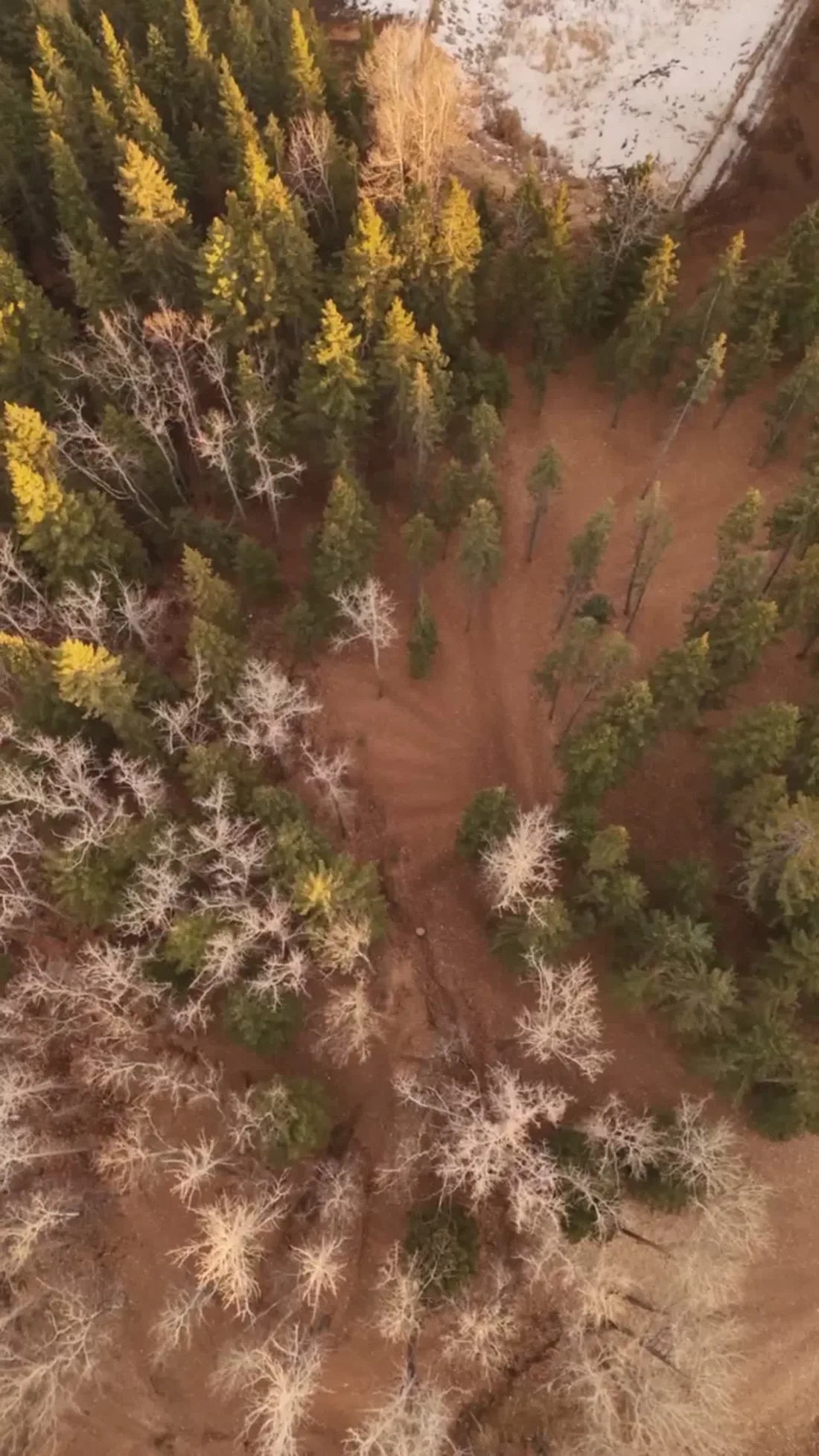
What gets shot in Marlborough Park.
- luxury residential
- commercial retail
- municipal infrastructure
Every subject above is delivered through the same aerial photography and cinematography services, scoped and quoted before the shoot is booked.
What the research actually says.
USD 9.83 billion
Emergen Research sizes the global drone inspection and monitoring market at nearly ten billion dollars in 2025, growing at a 16.4% compound annual rate.
Aerial capture is a procured category with established vendors and comparable rates, not an experimental line item requiring internal justification.
Emergen Research, 2025
40–60% lower
Construction programmes adopting systematic drone survey report reductions of roughly half in surveying cost, alongside faster data collection.
The saving is structural rather than one-off: it applies to every survey cycle across the life of the project.
Reported by Datumate, 2025
Over $40,000
The National Safety Council puts the average cost of a single workplace injury above forty thousand dollars, before any legal exposure.
Aerial capture removes the requirement to put a person at height or in a confined space to obtain the same image. That is a risk transfer, not a convenience.
Reported by National Safety Council, cited by DSLRPros, 2025
Marlborough Park and what surrounds it.
- Aerial photography in Marlborough1 km · Class C control zone (CYYC)
- Aerial photography in Rundle1 km · Class C control zone (CYYC)
- Aerial photography in Penbrooke Meadows4 km · Class C control zone (CYYC)
- Aerial photography in Abbeydale2 km · Class C control zone (CYYC)
- Aerial photography in Applewood Park2 km · Class C control zone (CYYC)
How a Marlborough Park shoot runs.
- 01Scope and quote. Most Marlborough Park work is luxury residential or commercial retail, and the shot list follows the subject. Mobilisation is stated separately from the fee.
- 02Airspace. Marlborough Park sits under Calgary International Airport (CYYC), 7 km away. Authorisation is filed with NAV CANADA and the date is confirmed once it is in hand.
- 03Weather window. Chinook belt. The flat grade neither shelters nor accelerates the west wind — conditions here track the citywide forecast closely, and the flyable hours are the ones where gusts stay near the average. With no relief to cast terrain shadow, golden hour runs its full length at both ends of the day. Chinook cycles strip and repaint the snow all winter; green-up around Elliston Park signals the spring window.
- 04Shoot day. About 15 minutes from the Calgary base. Launch from the subject property with the owner's permission; calgary's parks bylaws keep drone takeoff and landing out of municipal parks and off pathways, so every launch here is staged from private property with the client's consent.
- 05Delivery. Edited files delivered digitally — no attendance required at any stage, which is how out-of-province owners of Marlborough Park property are served.
Marlborough Park questions, answered.
What approvals are needed before a drone flight in Marlborough Park?
An Advanced RPAS certificate and a NAV CANADA authorisation. The community sits about 7 km from Calgary International inside the CYYC Class C control zone, with the Peter Lougheed Centre heliport roughly 2 km away. Fly4MEdia files the authorisation at booking and confirms the exact site against NAV Drone before flying.
Is there any high ground in Marlborough Park for elevated photos without a drone?
No — the community is level from edge to edge, which is precisely why aerial work earns its keep here. Any elevated view of a property, a street or the neighbourhood as a whole has to come from an aircraft. A short authorised flight replaces a vantage the terrain never provided.
Marlborough Park is 1 km from Marlborough.
Mobilisation is quoted from the Calgary base, so a shoot in Marlborough Park and one 1 km away in Marlborough are priced differently even when the subject is identical.
Nearby
Coverage
Airspace information last verified . Rules change — every flight is re-checked before it happens.