
Drone photography in Beltline, Alberta
From above, the Beltline is a ruled page: 10th Avenue SW, 12th Avenue SW and 14th Avenue SW run east–west in strict parallel, and the short cross-streets deliver every one of them to the 17th Avenue SW retail strip at the district's southern edge. A condo or infill listing here is sold on its position in that grid — how it sits between the towers to the north and 17th Avenue to the south — and a ground-level camera standing in one block cannot show any of it.
Does Fly4MEdia fly drones in Beltline?
Yes. Fly4MEdia flies drone photography and cinematography in Beltline, Alberta. The airspace is Class C control zone (CYYC). Flights are conducted under an Advanced RPAS certificate with airspace authorisation filed before the shoot is confirmed. Typical mobilisation from the Calgary base is 15 minutes.
Beltline at a glance.
| Base of operations | Calgary, Alberta |
|---|---|
| Drive time from base | 15 minutes |
| Airspace | Class C control zone (CYYC) |
| Nearest aerodrome | Calgary International Airport (CYYC) |
| Authorisation required | Yes — filed before booking is confirmed |
| Flight status | Flown with airspace authorisation |
| Certification | Transport Canada RPAS — Advanced Operations |
| Response | Reply within one business day |
| Airspace last verified | 2026-09-01 |
Flying Beltline: the ground truth.
From above, the Beltline is a ruled page: 10th Avenue SW, 12th Avenue SW and 14th Avenue SW run east–west in strict parallel, and the short cross-streets deliver every one of them to the 17th Avenue SW retail strip at the district's southern edge. A condo or infill listing here is sold on its position in that grid — how it sits between the towers to the north and 17th Avenue to the south — and a ground-level camera standing in one block cannot show any of it.
A rising reveal over the property, framed so the avenue grid and the 17th Avenue SW retail strip stay in view, puts the address in context. The CYYC authorisation is filed before the date is confirmed, and the work is delivered in the standard turnaround.
Airspace. Beltline sits about 10 km from Calgary International, inside the CYYC control zone as charted. Flights here are conducted under an Advanced RPAS certificate with a NAV CANADA RPAS authorisation obtained before the shoot is confirmed. Flight plans here also keep clear of Foothills Medical Centre heliport, operating about 5 km away. Before any flight, the exact site and altitude are checked against NAV Drone. This is a corridor-level assessment; the specific address is confirmed against NAV Drone before every flight.
Terrain. Flat terrace ground carrying one of the city's densest residential grids — mid-rise and high-rise blocks shoulder to shoulder, with Central Memorial Park and Haultain Park as the few green interruptions.
Wind. Chinook belt. A winter chinook can swing conditions inside an hour, and between mid-rise blocks the gusts arrive from odd directions — the open-sky forecast understates what the airframe meets at rooftop height.
Light. Long summer evenings send raking light straight down the east–west avenues; in winter the low sun clears the mid-rise rooftops for only part of the day, so the middle of the day often carries the district's best light.
On the ground. Calgary's parks bylaws restrict drone takeoff and landing in municipal parks and on pathways — Central Memorial Park and Barb Scott Park included — so launches stage from private property with the client's consent. About 15 minutes from the Calgary base. Scheduling is driven by the authorisation and the weather window, not the drive.
From the reel
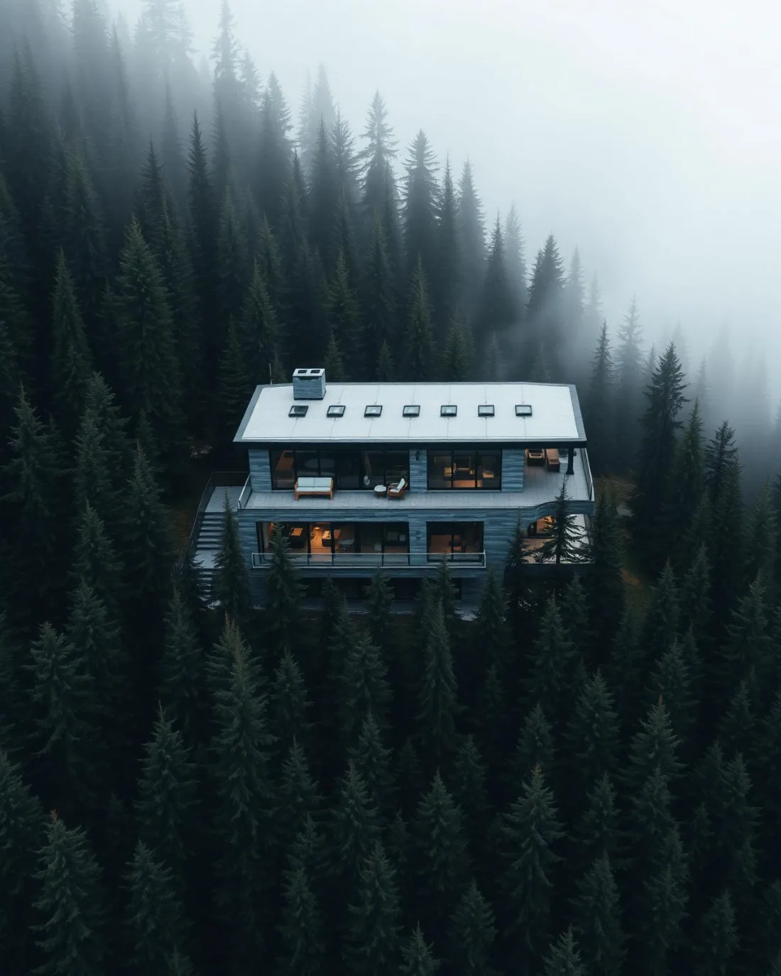
What gets shot in Beltline.
- luxury residential
- commercial retail
- construction progress
Every subject above is delivered through the same aerial photography and cinematography services, scoped and quoted before the shoot is booked.
What the research actually says.
Over $40,000
The National Safety Council puts the average cost of a single workplace injury above forty thousand dollars, before any legal exposure.
Aerial capture removes the requirement to put a person at height or in a confined space to obtain the same image. That is a risk transfer, not a convenience.
Reported by National Safety Council, cited by DSLRPros, 2025
Up to 75% less time
McKinsey & Company reports that drones can cut surveying time by up to three quarters against traditional ground methods — a three-day site survey completed inside one.
On a consulting engagement billed by the day, survey duration is not a line item. It is the schedule.
Reported by McKinsey & Company, cited by Datumate, 2025
30% more
McKinsey research cited across the inspection sector finds that organisations relying on manual inspection spend materially more on maintenance and safety than those using drone-based assessment.
For a portfolio of assets, the inspection method is a recurring cost line, not a one-off purchase. The differential compounds annually.
Reported by McKinsey & Company, cited by Averroes, 2025
Beltline and what surrounds it.
- Aerial photography in Downtown Calgary1 km · Class C control zone (CYYC)
- Aerial photography in Mission1 km · CYYC control zone edge
- Aerial photography in Cliff Bungalow0 km · CYYC control zone edge
- Aerial photography in Calgary1 km · Class C control zone (CYYC)
- Aerial photography in Chinatown2 km · Class C control zone (CYYC)
How a Beltline shoot runs.
- 01Scope and quote. Most Beltline work is luxury residential or commercial retail, and the shot list follows the subject. Mobilisation is stated separately from the fee.
- 02Airspace. Beltline sits under Calgary International Airport (CYYC), 10 km away. Authorisation is filed with NAV CANADA and the date is confirmed once it is in hand.
- 03Weather window. Chinook belt. A winter chinook can swing conditions inside an hour, and between mid-rise blocks the gusts arrive from odd directions — the open-sky forecast understates what the airframe meets at rooftop height. Long summer evenings send raking light straight down the east–west avenues; in winter the low sun clears the mid-rise rooftops for only part of the day, so the middle of the day often carries the district's best light.
- 04Shoot day. About 15 minutes from the Calgary base. Launch from the subject property with the owner's permission; calgary's parks bylaws restrict drone takeoff and landing in municipal parks and on pathways — Central Memorial Park and Barb Scott Park included — so launches stage from private property with the client's consent.
- 05Delivery. Edited files delivered digitally — no attendance required at any stage, which is how out-of-province owners of Beltline property are served.
Beltline questions, answered.
Do you need airspace authorisation to fly a drone in the Beltline?
Yes. The Beltline sits about 10 km from Calgary International, inside the CYYC Class C control zone, so flights run under an Advanced RPAS certificate with a NAV CANADA authorisation filed before the shoot date is confirmed. The specific site and altitude are checked against NAV Drone before every flight.
Can a Beltline condo shoot show 17th Avenue SW without flying over the street?
Yes. The avenues run parallel, so an orbit flown from the property's own block can hold the 17th Avenue SW retail strip in frame without overflying it. Flight paths are planned over the launch site and the subject, and the authorised altitude does the work of the wide view.
Beltline is 1 km from Downtown Calgary.
Mobilisation is quoted from the Calgary base, so a shoot in Beltline and one 1 km away in Downtown Calgary are priced differently even when the subject is identical.
Nearby
Coverage
Airspace information last verified . Rules change — every flight is re-checked before it happens.