
Drone photography in Cochrane, Alberta
Cochrane is built on a hillside above the Bow River, so the town has roughly 100 metres of vertical relief between the valley floor and the upper benches. A ground-level listing photo flattens that entirely — the buyer cannot see that the house sits above the valley, which is the single thing they are paying for.
Does Fly4MEdia fly drones in Cochrane?
Yes. Fly4MEdia flies drone photography and cinematography in Cochrane, Alberta. The airspace is Class G uncontrolled. Authorisation is not normally required in this airspace. Typical mobilisation from the Calgary base is 35 minutes.
Cochrane at a glance.
| Base of operations | Calgary, Alberta |
|---|---|
| Drive time from base | 35 minutes |
| Airspace | Class G uncontrolled |
| Nearest aerodrome | Springbank Airport (CYBW) |
| Authorisation required | No |
| Flight status | Flown routinely |
| Certification | Transport Canada RPAS — Advanced Operations |
| Response | Reply within one business day |
| Airspace last verified | 2026-08-31 |
Flying Cochrane: the ground truth.
Cochrane is built on a hillside above the Bow River, so the town has roughly 100 metres of vertical relief between the valley floor and the upper benches. A ground-level listing photo flattens that entirely — the buyer cannot see that the house sits above the valley, which is the single thing they are paying for.
A rising reveal from valley floor to bench height puts the elevation back into the frame, delivered in the standard turnaround.
Airspace. Cochrane sits west of the Springbank control zone in uncontrolled airspace. The eastern approach to town runs nearer the CYBW boundary than the town limits suggest, so the specific address is confirmed against NAV Drone before every flight. This is a corridor-level assessment; the specific address is confirmed against NAV Drone before every flight.
Terrain. A hillside town on the north bank of the Bow, with benches stepping up from the river and the foothills rising immediately west.
Wind. Squarely in the chinook belt. West wind accelerates as it comes off the foothills, and the valley below town channels it further.
Light. West-facing, so the last light of the day is the town's best light. Snow cover typically holds on the upper benches after it has gone from Calgary.
On the ground. Town of Cochrane park and pathway rules govern launch and landing on municipal land; private-property launch is the default. About 35 minutes from the Calgary base on Highway 1A or Highway 1. Comfortably a same-day booking.
From the reel
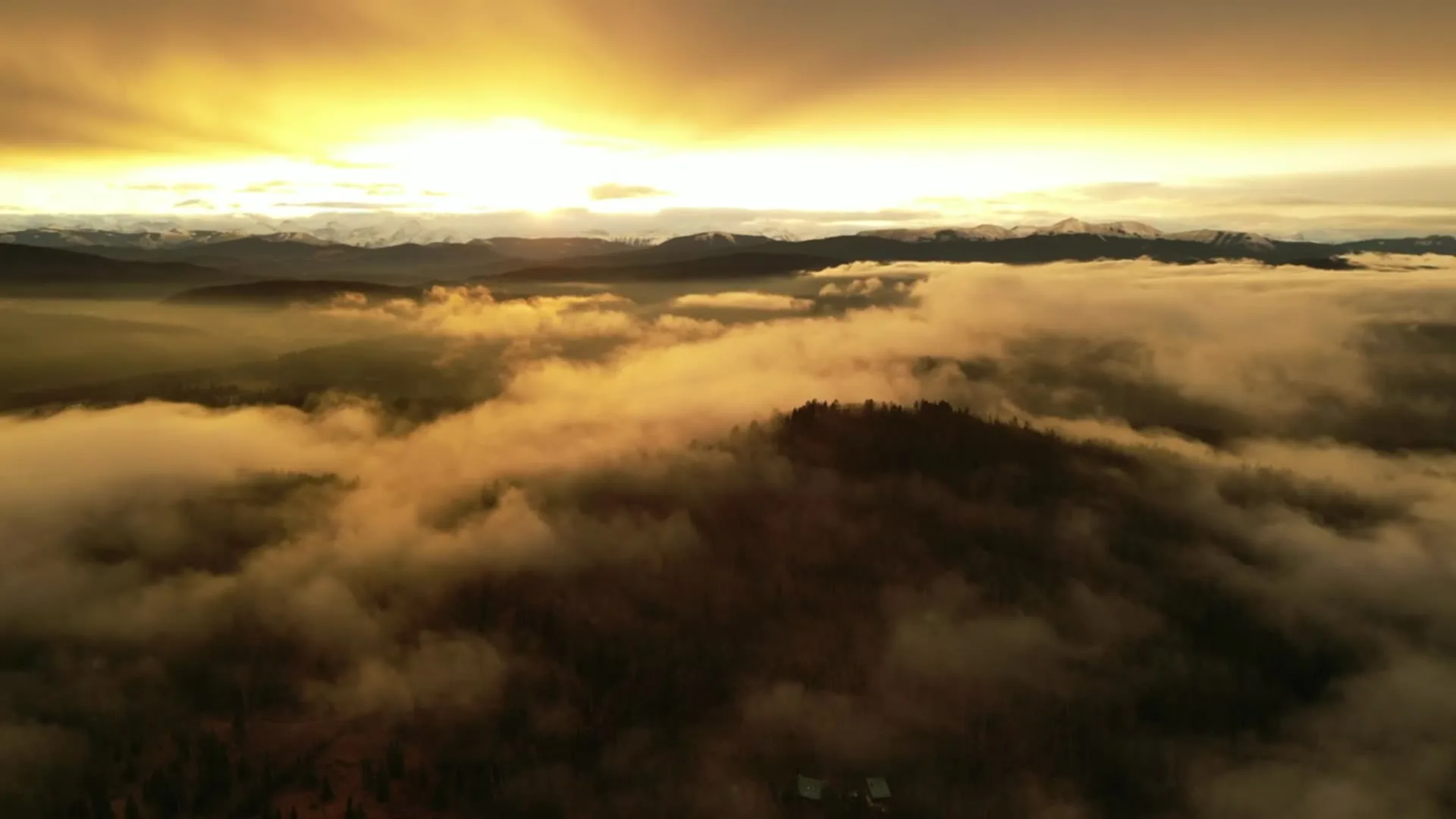
What gets shot in Cochrane.
- luxury residential
- acreage estate
- new build subdivision
- commercial retail
Every subject above is delivered through the same aerial photography and cinematography services, scoped and quoted before the shoot is booked.
What the research actually says.
68% faster
Listings marketed with aerial photography have been reported to sell substantially faster than those using ground photography alone.
On a listing carrying monthly holding costs, the weeks removed from time-on-market are the return on the shoot.
Reported by RubyHome, real estate photography research roundup, 2024
40–60% lower
Construction programmes adopting systematic drone survey report reductions of roughly half in surveying cost, alongside faster data collection.
The saving is structural rather than one-off: it applies to every survey cycle across the life of the project.
Reported by Datumate, 2025
Advanced certificate
Transport Canada requires a Pilot Certificate for Advanced Operations to fly a remotely piloted aircraft in controlled airspace or near bystanders.
Most of Calgary sits inside the CYYC control zone. An operator without this certificate cannot legally fly the majority of addresses in the city.
Transport Canada, 2025
Cochrane and what surrounds it.
- Aerial photography in GlenEagles3 km · Class G uncontrolled
- Aerial photography in Bearspaw14 km · Mixed — CYBW control zone boundary
- Aerial photography in Ghost Lake19 km · Class G uncontrolled
- Aerial photography in Springbank14 km · Class C control zone (CYBW)
- Aerial photography in Bragg Creek28 km · Class G uncontrolled
How a Cochrane shoot runs.
- 01Scope and quote. Most Cochrane work is luxury residential or acreage estate, and the shot list follows the subject. Mobilisation is stated separately from the fee.
- 02Airspace. Checked against NAV Drone from the address, not the postcode. Cochrane is class g uncontrolled, so authorisation is not normally required — but Springbank Airport (CYBW) is 22 km away and its circuit is plotted regardless.
- 03Weather window. Squarely in the chinook belt. West wind accelerates as it comes off the foothills, and the valley below town channels it further. West-facing, so the last light of the day is the town's best light. Snow cover typically holds on the upper benches after it has gone from Calgary.
- 04Shoot day. About 35 minutes from the Calgary base. Launch from the subject property with the owner's permission; town of Cochrane park and pathway rules govern launch and landing on municipal land; private-property launch is the default.
- 05Delivery. Edited files delivered digitally — no attendance required at any stage, which is how out-of-province owners of Cochrane property are served.
Cochrane questions, answered.
Do you need airspace authorisation to fly a drone in Cochrane?
Generally no. Cochrane sits west of the Springbank (CYBW) control zone in uncontrolled Class G airspace. The eastern edge of town runs closer to that boundary than the town limits imply, so the specific address is confirmed against NAV Drone before every flight.
What makes Cochrane properties different to shoot?
Elevation. The town steps up from the Bow River in benches, so a home's position above the valley is often its main value driver. That relationship is invisible in ground photography and obvious from 90 metres.
When is the best time of day for a Cochrane shoot?
Late afternoon into the last hour of daylight. Cochrane faces west over the Bow valley toward the foothills, so evening light rakes across the benches and separates the terraces instead of flattening them.
Cochrane is 3 km from GlenEagles.
Mobilisation is quoted from the Calgary base, so a shoot in Cochrane and one 3 km away in GlenEagles are priced differently even when the subject is identical.
Nearby
Coverage
Airspace information last verified . Rules change — every flight is re-checked before it happens.