
Drone photography in GlenEagles, Alberta
GlenEagles sits on the bench above Cochrane, roughly a hundred metres higher than the town centre, wrapped around a golf course. The view is the product here, and a view is the single hardest thing to photograph from inside the house that has it.
Does Fly4MEdia fly drones in GlenEagles?
Yes. Fly4MEdia flies drone photography and cinematography in GlenEagles, Alberta. The airspace is Class G uncontrolled. Authorisation is not normally required in this airspace. Typical mobilisation from the Calgary base is 38 minutes.
GlenEagles at a glance.
| Base of operations | Calgary, Alberta |
|---|---|
| Drive time from base | 38 minutes |
| Airspace | Class G uncontrolled |
| Nearest aerodrome | Springbank Airport (CYBW) |
| Authorisation required | No |
| Flight status | Flown routinely |
| Certification | Transport Canada RPAS — Advanced Operations |
| Response | Reply within one business day |
| Airspace last verified | 2026-08-31 |
Flying GlenEagles: the ground truth.
GlenEagles sits on the bench above Cochrane, roughly a hundred metres higher than the town centre, wrapped around a golf course. The view is the product here, and a view is the single hardest thing to photograph from inside the house that has it.
A rising pass from the fairway to above roof height puts the house, the course and the valley beyond into one continuous frame.
Airspace. GlenEagles sits on the south bench above Cochrane in uncontrolled Class G airspace. The specific address is confirmed against NAV Drone before the flight. This is a corridor-level assessment; the specific address is confirmed against NAV Drone before every flight.
Terrain. An elevated bench above the Bow valley, built around a golf course, with the ground falling away sharply to the north and east.
Wind. Elevated and exposed. The bench catches chinook wind before the town below feels it.
Light. Green season for the golf course context; late-day west light for the valley view. The two rarely conflict.
On the ground. Town of Cochrane rules apply. Golf-course launch requires the course operator's permission. About 38 minutes from the Calgary base, a few minutes past Cochrane proper. Same-day capable.
From the reel
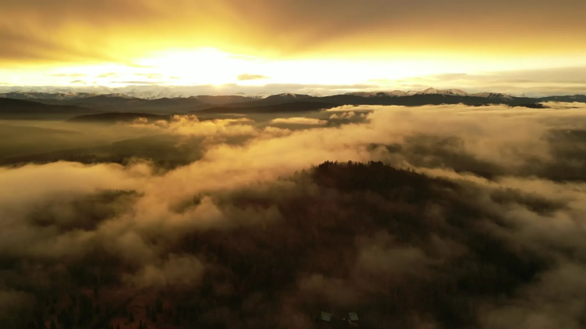
What gets shot in GlenEagles.
- luxury residential
- resort terrain
Every subject above is delivered through the same aerial photography and cinematography services, scoped and quoted before the shoot is booked.
What the research actually says.
Industry standard
The National Association of Realtors maintains dedicated guidance on commercial drone use in listing marketing, including the certification and airspace rules an operator must meet.
Aerial media is an established part of listing marketing with real compliance requirements. The question is whether your operator meets them, not whether to use it.
USD 9.83 billion
Emergen Research sizes the global drone inspection and monitoring market at nearly ten billion dollars in 2025, growing at a 16.4% compound annual rate.
Aerial capture is a procured category with established vendors and comparable rates, not an experimental line item requiring internal justification.
Emergen Research, 2025
403% more enquiries
Listings that include video have been reported to receive several times the enquiry volume of listings without it.
Enquiry volume is the top of the funnel. A listing that starts more conversations closes from a larger pool.
Reported by RubyHome, real estate photography research roundup, 2024
GlenEagles and what surrounds it.
- Aerial photography in Cochrane3 km · Class G uncontrolled
- Aerial photography in Bearspaw15 km · Mixed — CYBW control zone boundary
- Aerial photography in Ghost Lake18 km · Class G uncontrolled
- Aerial photography in Springbank13 km · Class C control zone (CYBW)
- Aerial photography in Calgary32 km · Class C control zone (CYYC)
How a GlenEagles shoot runs.
- 01Scope and quote. Most GlenEagles work is luxury residential or resort terrain, and the shot list follows the subject. Mobilisation is stated separately from the fee.
- 02Airspace. Checked against NAV Drone from the address, not the postcode. GlenEagles is class g uncontrolled, so authorisation is not normally required — but Springbank Airport (CYBW) is 24 km away and its circuit is plotted regardless.
- 03Weather window. Elevated and exposed. The bench catches chinook wind before the town below feels it. Green season for the golf course context; late-day west light for the valley view. The two rarely conflict.
- 04Shoot day. About 38 minutes from the Calgary base. Launch from the subject property with the owner's permission; town of Cochrane rules apply. Golf-course launch requires the course operator's permission.
- 05Delivery. Edited files delivered digitally — no attendance required at any stage, which is how out-of-province owners of GlenEagles property are served.
GlenEagles questions, answered.
Can you photograph GlenEagles golf-course homes from the air?
Yes. GlenEagles sits in uncontrolled Class G airspace, so no authorisation is normally required. Launching from the course itself needs the operator's permission, which is arranged before the shoot rather than on the day.
How do you photograph a view property?
By showing the house and what it looks at in the same frame. A rising pass from below roof height puts the property, the course and the Bow valley into one continuous move, which is something no interior window shot can achieve.
Is GlenEagles windier than Cochrane town centre?
Usually. GlenEagles sits about a hundred metres above the town on an exposed bench, so it catches chinook wind before the valley floor does. Conditions are checked at bench height, not from the town reading.
GlenEagles is 3 km from Cochrane.
Every quote starts at the Calgary base, which is why identical subjects in GlenEagles and Cochrane — 3 km apart — price differently.
Nearby
Coverage
Airspace information last verified . Rules change — every flight is re-checked before it happens.