
Drone photography in Crescent Heights, Alberta
Crescent Heights ends in air: the street grid runs south to the Crescent Road viewpoint, then the ground drops down McHugh Bluff to the river, and from above the water — not the skyline — is what separates the district from downtown. A south-rim listing is priced on that outlook, but a ground camera on the lot can only point at the view — it cannot show the house holding the rim, the bluff below it and the river beyond in one picture.
Does Fly4MEdia fly drones in Crescent Heights?
Yes. Fly4MEdia flies drone photography and cinematography in Crescent Heights, Alberta. The airspace is Class C control zone (CYYC). An Advanced RPAS certificate covers the flight, with airspace authorisation in place before the booking is confirmed. From the Calgary base, mobilisation is typically 15 minutes.
Crescent Heights at a glance.
| Base of operations | Calgary, Alberta |
|---|---|
| Drive time from base | 15 minutes |
| Airspace | Class C control zone (CYYC) |
| Nearest aerodrome | Calgary International Airport (CYYC) |
| Authorisation required | Yes — filed before booking is confirmed |
| Flight status | Flown with airspace authorisation |
| Certification | Transport Canada RPAS — Advanced Operations |
| Response | Reply within one business day |
| Airspace last verified | 2026-09-01 |
Flying Crescent Heights: the ground truth.
Crescent Heights ends in air: the street grid runs south to the Crescent Road viewpoint, then the ground drops down McHugh Bluff to the river, and from above the water — not the skyline — is what separates the district from downtown. A south-rim listing is priced on that outlook, but a ground camera on the lot can only point at the view — it cannot show the house holding the rim, the bluff below it and the river beyond in one picture.
A reveal flown from street height out over the bluff line puts all three in frame — house, McHugh Bluff, water. The CYYC authorisation is filed before the date is confirmed, and the frames arrive in the standard turnaround.
Airspace. About 8 km from Calgary International, Crescent Heights falls inside the CYYC control zone as charted. An Advanced RPAS certificate covers the operation, with the NAV CANADA RPAS authorisation secured before the booking is confirmed. Foothills Medical Centre heliport operates about 5 km away, and flight plans keep clear of its approaches. Before any flight, the exact site and altitude are checked against NAV Drone. This is a corridor-level assessment; the specific address is confirmed against NAV Drone before every flight.
Terrain. A flat-topped bench above the river valley — the grid sits level from Centre Street North across to the SAIT campus side, then the ground falls away sharply at McHugh Bluff along the southern rim.
Wind. Chinook belt, and the rim is exposed to it. West wind that crosses the bench accelerates over the bluff edge, so conditions at the Crescent Road viewpoint can run rougher than one street back.
Light. The rim faces south over the valley, so it holds low winter sun well; long summer evenings put the last light on the water below the bluff, which is when the viewpoint frames earn their keep.
On the ground. Drone takeoff and landing in municipal parks and on pathways are restricted by Calgary's parks bylaws — Rotary Park and the bluff-top green spaces included — so launches stage from private property with the client's consent. About 15 minutes from the base. Same-day is realistic once the authorisation is in hand; the wind on the rim is the usual reason a date moves.
From the reel
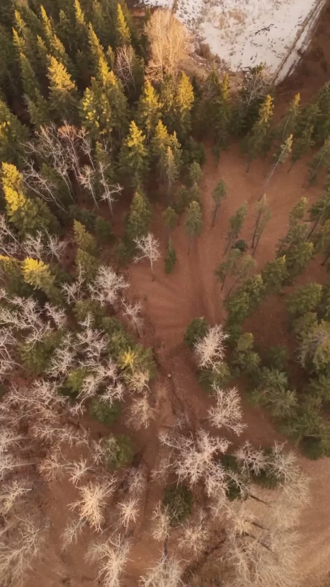
What gets shot in Crescent Heights.
- luxury residential
- commercial retail
- construction progress
Every subject above is delivered through the same aerial photography and cinematography services, scoped and quoted before the shoot is booked.
What the research actually says.
Industry standard
The National Association of Realtors maintains dedicated guidance on commercial drone use in listing marketing, including the certification and airspace rules an operator must meet.
Aerial media is an established part of listing marketing with real compliance requirements. The question is whether your operator meets them, not whether to use it.
Over $40,000
The National Safety Council puts the average cost of a single workplace injury above forty thousand dollars, before any legal exposure.
Aerial capture removes the requirement to put a person at height or in a confined space to obtain the same image. That is a risk transfer, not a convenience.
Reported by National Safety Council, cited by DSLRPros, 2025
Advanced certificate
Transport Canada requires a Pilot Certificate for Advanced Operations to fly a remotely piloted aircraft in controlled airspace or near bystanders.
Most of Calgary sits inside the CYYC control zone. An operator without this certificate cannot legally fly the majority of addresses in the city.
Transport Canada, 2025
Crescent Heights and what surrounds it.
- Aerial photography in Hillhurst2 km · Class C control zone (CYYC)
- Aerial photography in Sunnyside2 km · Class C control zone (CYYC)
- Aerial photography in Tuxedo Park1 km · Class C control zone (CYYC)
- Aerial photography in Calgary2 km · Class C control zone (CYYC)
- Aerial photography in Beltline3 km · Class C control zone (CYYC)
How a Crescent Heights shoot runs.
- 01Scope and quote. Most Crescent Heights work is luxury residential or commercial retail, and the shot list follows the subject. Mobilisation is stated separately from the fee.
- 02Airspace. Crescent Heights sits under Calgary International Airport (CYYC), 8 km away. Authorisation is filed with NAV CANADA and the date is confirmed once it is in hand.
- 03Weather window. Chinook belt, and the rim is exposed to it. West wind that crosses the bench accelerates over the bluff edge, so conditions at the Crescent Road viewpoint can run rougher than one street back. The rim faces south over the valley, so it holds low winter sun well; long summer evenings put the last light on the water below the bluff, which is when the viewpoint frames earn their keep.
- 04Shoot day. About 15 minutes from the Calgary base. Launch from the subject property with the owner's permission; drone takeoff and landing in municipal parks and on pathways are restricted by Calgary's parks bylaws — Rotary Park and the bluff-top green spaces included — so launches stage from private property with the client's consent.
- 05Delivery. Edited files delivered digitally — no attendance required at any stage, which is how out-of-province owners of Crescent Heights property are served.
Crescent Heights questions, answered.
What airspace applies over Crescent Heights?
The CYYC Class C control zone — the community sits about 8 km from Calgary International, with the Foothills Medical Centre heliport about 5 km away. Flights run under an Advanced RPAS certificate with a NAV CANADA authorisation filed before the shoot is confirmed, and each site is verified against NAV Drone first.
Can you shoot the view from a Crescent Road property without launching from the bluff?
Yes, and that is how it is done. McHugh Bluff and its pathways are public land, so the launch stages from the client's own property and the aircraft flies the rim from there. The frames still hold the house, the bluff and the water — the launch point never appears in them.
Crescent Heights is 2 km from Hillhurst.
Mobilisation is quoted from the Calgary base, so a shoot in Crescent Heights and one 2 km away in Hillhurst are priced differently even when the subject is identical.
Nearby
Coverage
Airspace information last verified . Rules change — every flight is re-checked before it happens.