
Drone photography in Evergreen, Alberta
From the air, Evergreen's road network tells you where the city stops: the through-routes feed Evergreen Boulevard SW and Fish Creek Boulevard SW, and along the community's northern edge the streets end against the tree line of Fish Creek Provincial Park. A street-level gallery cannot show which side of that network a home sits on — backing the park and backing the boulevard photograph identically from the kerb, and the difference is exactly what the buyer is weighing.
Does Fly4MEdia fly drones in Evergreen?
Yes. Fly4MEdia flies drone photography and cinematography in Evergreen, Alberta. The airspace is Class G uncontrolled. Authorisation is not normally required in this airspace. Typical mobilisation from the Calgary base is 25 minutes.
Evergreen at a glance.
| Base of operations | Calgary, Alberta |
|---|---|
| Drive time from base | 25 minutes |
| Airspace | Class G uncontrolled |
| Nearest aerodrome | Kirkby Field (Indus) |
| Authorisation required | No |
| Flight status | Flown routinely |
| Certification | Transport Canada RPAS — Advanced Operations |
| Response | Reply within one business day |
| Airspace last verified | 2026-09-01 |
Flying Evergreen: the ground truth.
From the air, Evergreen's road network tells you where the city stops: the through-routes feed Evergreen Boulevard SW and Fish Creek Boulevard SW, and along the community's northern edge the streets end against the tree line of Fish Creek Provincial Park. A street-level gallery cannot show which side of that network a home sits on — backing the park and backing the boulevard photograph identically from the kerb, and the difference is exactly what the buyer is weighing.
An elevated still composed along the park boundary places the lot in the network — home, street and tree line in one legible frame, delivered in the standard turnaround.
Airspace. Evergreen sits in uncontrolled Class G airspace, clear of the charted Calgary-area control zones and about 17 km from Kirkby Field (Indus). Authorisation is not normally required here. Before any flight, the exact site and altitude are checked against NAV Drone. This is a corridor-level assessment; the specific address is confirmed against NAV Drone before every flight.
Terrain. Gently rolling table land at the city's southwest edge, sloping toward the wooded valley of Fish Creek Provincial Park; the relief is modest until the ground breaks at the park line.
Wind. Chinook belt with open exposure to the west and south; no sheltering terrain stands upwind until the Fish Creek valley itself, so wind at Evergreen tracks the regional gradient plus its gusts.
Light. The park's aspens flare in fall and read as a solid band of colour against the rooflines; after leaf-drop the valley opens up and winter frames trade colour for structure. Summer golden hour arrives late and lingers.
On the ground. Drone takeoff and landing in municipal parks and pathways is restricted by City of Calgary parks bylaws; launches are staged from private property with the client's consent. About 25 minutes from the base — still a same-day booking. Shawnessy, Bridlewood, Silverado and Somerset adjoin, so several southwest properties can share one mobilisation.
From the reel
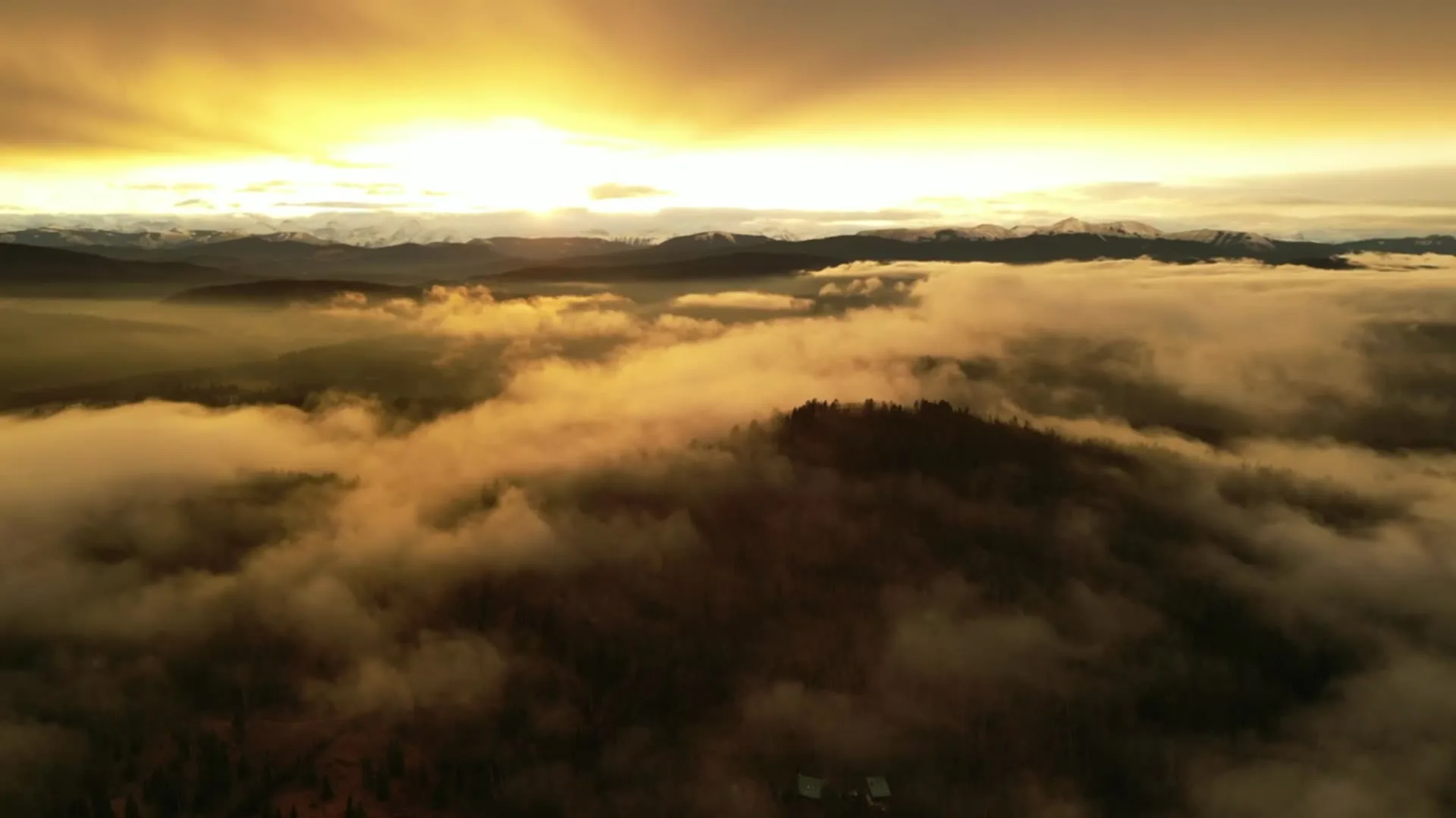
What gets shot in Evergreen.
- new build subdivision
- luxury residential
- commercial retail
Every subject above is delivered through the same aerial photography and cinematography services, scoped and quoted before the shoot is booked.
What the research actually says.
Up to 75% less time
McKinsey & Company reports that drones can cut surveying time by up to three quarters against traditional ground methods — a three-day site survey completed inside one.
On a consulting engagement billed by the day, survey duration is not a line item. It is the schedule.
Reported by McKinsey & Company, cited by Datumate, 2025
403% more enquiries
Listings that include video have been reported to receive several times the enquiry volume of listings without it.
Enquiry volume is the top of the funnel. A listing that starts more conversations closes from a larger pool.
Reported by RubyHome, real estate photography research roundup, 2024
40–60% lower
Construction programmes adopting systematic drone survey report reductions of roughly half in surveying cost, alongside faster data collection.
The saving is structural rather than one-off: it applies to every survey cycle across the life of the project.
Reported by Datumate, 2025
Evergreen and what surrounds it.
- Aerial photography in Shawnessy4 km · Class G uncontrolled
- Aerial photography in Bridlewood1 km · Class G uncontrolled
- Aerial photography in Silverado2 km · Class G uncontrolled
- Aerial photography in Somerset2 km · Class G uncontrolled
- Aerial photography in Altadore11 km · CYYC control zone edge
How an Evergreen shoot runs.
- 01Scope and quote. Most Evergreen work is new build subdivision or luxury residential, and the shot list follows the subject. Mobilisation is stated separately from the fee.
- 02Airspace. Checked against NAV Drone from the address, not the postcode. Evergreen is class g uncontrolled, so authorisation is not normally required — but Kirkby Field (Indus) is 17 km away and its circuit is plotted regardless.
- 03Weather window. Chinook belt with open exposure to the west and south; no sheltering terrain stands upwind until the Fish Creek valley itself, so wind at Evergreen tracks the regional gradient plus its gusts. The park's aspens flare in fall and read as a solid band of colour against the rooflines; after leaf-drop the valley opens up and winter frames trade colour for structure. Summer golden hour arrives late and lingers.
- 04Shoot day. About 25 minutes from the Calgary base. Launch from the subject property with the owner's permission; drone takeoff and landing in municipal parks and pathways is restricted by City of Calgary parks bylaws; launches are staged from private property with the client's consent.
- 05Delivery. Edited files delivered digitally — no attendance required at any stage, which is how out-of-province owners of Evergreen property are served.
Evergreen questions, answered.
Do drone flights over Evergreen need clearance from NAV CANADA?
Normally not. Evergreen lies outside the charted Calgary-area control zones in uncontrolled Class G airspace, about 17 km from Kirkby Field at Indus, so no airspace authorisation is usually required. Fly4MEdia still confirms the specific site and altitude against NAV Drone before every flight as standard practice.
Is it possible to photograph a home backing Fish Creek Provincial Park?
Yes, and it is the frame worth ordering. Launch happens from private property with the owner's consent — parks bylaws restrict takeoff and landing on park ground — and the flight line is planned so the lot, the street and the tree line sit together in one composition.
Evergreen is 4 km from Shawnessy.
Mobilisation is quoted from the Calgary base, so a shoot in Evergreen and one 4 km away in Shawnessy are priced differently even when the subject is identical.
Nearby
Coverage
Airspace information last verified . Rules change — every flight is re-checked before it happens.