
Drone photography in Shawnessy, Alberta
There is almost no relief in Shawnessy — from the Shawnessy Shopping Centre flats out to James McKevitt Road SW the ground barely moves, and the nearest real break in the prairie is where Fish Creek Provincial Park drops away north of the community. At ground level everything here is photographed from the same eye height, so the retail acreage, the LRT platform and the rooftops compress into one plane and the scale of the place disappears.
Does Fly4MEdia fly drones in Shawnessy?
Yes. Fly4MEdia flies drone photography and cinematography in Shawnessy, Alberta. The airspace is Class G uncontrolled. Authorisation is not normally required in this airspace. Typical mobilisation from the Calgary base is 20 minutes.
Shawnessy at a glance.
| Base of operations | Calgary, Alberta |
|---|---|
| Drive time from base | 20 minutes |
| Airspace | Class G uncontrolled |
| Nearest aerodrome | Kirkby Field (Indus) |
| Authorisation required | No |
| Flight status | Flown routinely |
| Certification | Transport Canada RPAS — Advanced Operations |
| Response | Reply within one business day |
| Airspace last verified | 2026-09-01 |
Flying Shawnessy: the ground truth.
There is almost no relief in Shawnessy — from the Shawnessy Shopping Centre flats out to James McKevitt Road SW the ground barely moves, and the nearest real break in the prairie is where Fish Creek Provincial Park drops away north of the community. At ground level everything here is photographed from the same eye height, so the retail acreage, the LRT platform and the rooftops compress into one plane and the scale of the place disappears.
Altitude supplies the relief the terrain withholds: a high oblique separates Shawnessy Shopping Centre from the residential grid and puts Macleod Trail SW in context, and repeatable waypoints keep a progress series comparable — delivered in the standard turnaround.
Airspace. Shawnessy sits in uncontrolled Class G airspace, clear of the charted Calgary-area control zones and about 15 km from Kirkby Field (Indus). Authorisation is not normally required here. Every flight is preceded by a NAV Drone check of the specific site and altitude. This is a corridor-level assessment; the specific address is confirmed against NAV Drone before every flight.
Terrain. Level prairie table in Calgary's deep south. Big-format retail holds the corner of Macleod Trail SW and 162 Avenue SW, residential streets fill the ground beyond it, and the Fish Creek valley is the nearest change in elevation.
Wind. Chinook belt with no terrain shelter: west wind crosses the flat table at full strength, and the open retail lands give it nothing to break against. Winter flights are judged on gust spread rather than average speed.
Light. Flat and open, so snow leaves quickly after a chinook and returns just as fast. Low winter sun throws long shadows across the retail roofs, summer evenings give the cleanest light on the residential grid, and late-summer wildfire smoke is the main contrast risk.
On the ground. City of Calgary bylaws restrict drone takeoff and landing in municipal parks and along pathways, and Fish Creek Provincial Park carries its own provincial rules — Shawnessy launches are staged from private property with permission. About 20 minutes from the Calgary base in routine Class G airspace, so same-day work is realistic. One mobilisation covers Shawnessy together with Millrise, Somerset, Evergreen or Bridlewood.
From the reel
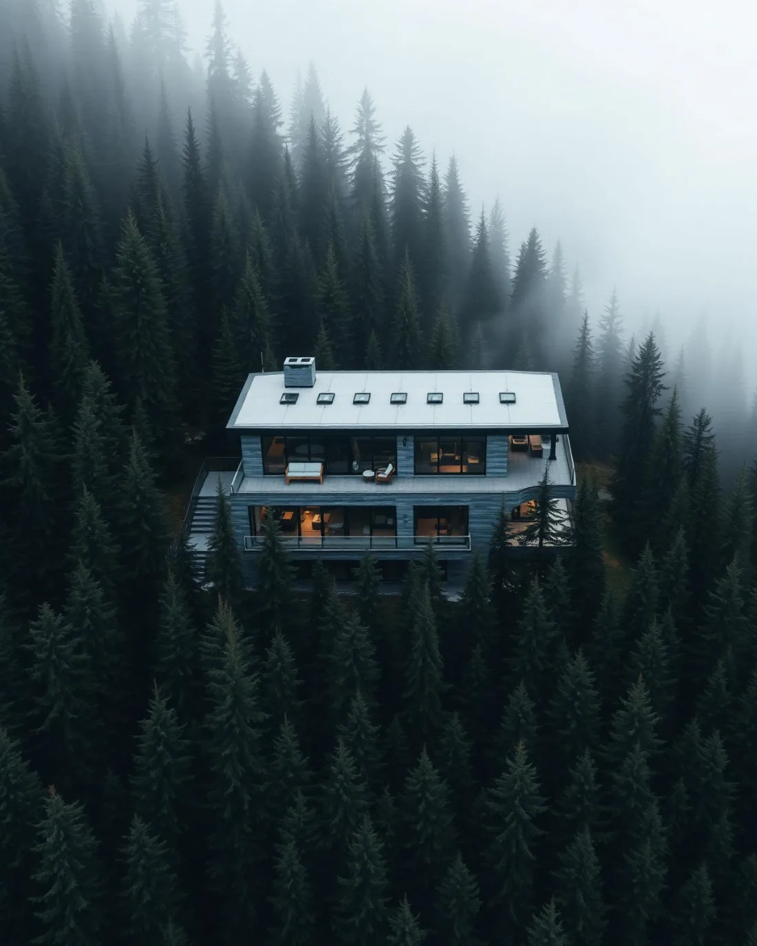
What gets shot in Shawnessy.
- commercial retail
- municipal infrastructure
- new build subdivision
Every subject above is delivered through the same aerial photography and cinematography services, scoped and quoted before the shoot is booked.
What the research actually says.
18 days to 4 hours
Marathon Pipe Line cut its response time to potential pipeline issues from eighteen days to four hours using drone inspection, preventing six major incidents in the first year at a reported saving of $8.3 million.
On linear infrastructure the cost is not the inspection. It is the time between a fault existing and anyone knowing about it.
Reported by Power Engineering, 2025
Industry standard
The National Association of Realtors maintains dedicated guidance on commercial drone use in listing marketing, including the certification and airspace rules an operator must meet.
Aerial media is an established part of listing marketing with real compliance requirements. The question is whether your operator meets them, not whether to use it.
USD 9.83 billion
Emergen Research sizes the global drone inspection and monitoring market at nearly ten billion dollars in 2025, growing at a 16.4% compound annual rate.
Aerial capture is a procured category with established vendors and comparable rates, not an experimental line item requiring internal justification.
Emergen Research, 2025
Shawnessy and what surrounds it.
- Aerial photography in Millrise2 km · Class G uncontrolled
- Aerial photography in Somerset2 km · Class G uncontrolled
- Aerial photography in Evergreen4 km · Class G uncontrolled
- Aerial photography in Bridlewood3 km · Class G uncontrolled
- Aerial photography in Altadore9 km · CYYC control zone edge
How a Shawnessy shoot runs.
- 01Scope and quote. Most Shawnessy work is commercial retail or municipal infrastructure, and the shot list follows the subject. Mobilisation is stated separately from the fee.
- 02Airspace. Checked against NAV Drone from the address, not the postcode. Shawnessy is class g uncontrolled, so authorisation is not normally required — but Kirkby Field (Indus) is 15 km away and its circuit is plotted regardless.
- 03Weather window. Chinook belt with no terrain shelter: west wind crosses the flat table at full strength, and the open retail lands give it nothing to break against. Winter flights are judged on gust spread rather than average speed. Flat and open, so snow leaves quickly after a chinook and returns just as fast. Low winter sun throws long shadows across the retail roofs, summer evenings give the cleanest light on the residential grid, and late-summer wildfire smoke is the main contrast risk.
- 04Shoot day. About 20 minutes from the Calgary base. Launch from the subject property with the owner's permission; city of Calgary bylaws restrict drone takeoff and landing in municipal parks and along pathways, and Fish Creek Provincial Park carries its own provincial rules — Shawnessy launches are staged from private property with permission.
- 05Delivery. Edited files delivered digitally — no attendance required at any stage, which is how out-of-province owners of Shawnessy property are served.
Shawnessy questions, answered.
Is a NAV CANADA authorisation needed for a Shawnessy drone shoot?
Normally, no. Shawnessy lies outside the charted Calgary-area control zones in uncontrolled Class G airspace, about 15 km from Kirkby Field at Indus, so no airspace authorisation is usually required. The specific site and altitude are still confirmed against NAV Drone before every flight, which keeps the booking honest.
How do you photograph a retail property in a place this flat?
From above, at an angle. On level prairie a ground camera puts every building on the same horizon; a high oblique restores depth, showing Shawnessy Shopping Centre, the LRT station and the arterial frontage in one legible frame. For leasing and marketing work, that vantage is the whole argument.
Can you fly the same Shawnessy route for repeat progress shots?
Yes. The flight plan is saved as waypoints, so each visit reproduces the previous altitudes and angles and the series reads as one sequence rather than a set of unrelated photographs. Routine airspace and a drive of about 20 minutes keep repeat visits simple to schedule.
Shawnessy is 2 km from Millrise.
Because mobilisation is quoted from the Calgary base, Shawnessy and Millrise, 2 km away, carry different quotes for an identical subject.
Nearby
Coverage
Airspace information last verified . Rules change — every flight is re-checked before it happens.