
Drone photography in Hidden Valley, Alberta
Hidden Valley's street names file a report on the ground — Hidden Creek Rise NW and Hidden Spring Way NW mark the drainage that shapes the community, and its water gathers where the land does, in Hidden Valley Park. None of that reads from the kerb. A home near the park photographs like any suburban street, when its actual position beside water and green space is the thing worth showing.
Does Fly4MEdia fly drones in Hidden Valley?
Yes. Fly4MEdia flies drone photography and cinematography in Hidden Valley, Alberta. The airspace is Class C control zone (CYYC). An Advanced RPAS certificate covers the flight, with airspace authorisation in place before the booking is confirmed. From the Calgary base, mobilisation is typically 20 minutes.
Hidden Valley at a glance.
| Base of operations | Calgary, Alberta |
|---|---|
| Drive time from base | 20 minutes |
| Airspace | Class C control zone (CYYC) |
| Nearest aerodrome | Calgary International Airport (CYYC) |
| Authorisation required | Yes — filed before booking is confirmed |
| Flight status | Flown with airspace authorisation |
| Certification | Transport Canada RPAS — Advanced Operations |
| Response | Reply within one business day |
| Airspace last verified | 2026-09-01 |
Flying Hidden Valley: the ground truth.
Hidden Valley's street names file a report on the ground — Hidden Creek Rise NW and Hidden Spring Way NW mark the drainage that shapes the community, and its water gathers where the land does, in Hidden Valley Park. None of that reads from the kerb. A home near the park photographs like any suburban street, when its actual position beside water and green space is the thing worth showing.
A boundary-line orbit around the property places the park and its water in the same frame as the house, delivered in the standard turnaround.
Airspace. About 9 km from Calgary International, Hidden Valley falls inside the CYYC control zone as charted. An Advanced RPAS certificate covers the operation, with the NAV CANADA RPAS authorisation secured before the booking is confirmed. Every flight is preceded by a NAV Drone check of the specific site and altitude. This is a corridor-level assessment; the specific address is confirmed against NAV Drone before every flight.
Terrain. A shallow bowl of family streets draining toward a central park, ringed by higher ground, with Nose Hill Park standing to the south beyond the neighbouring communities.
Wind. Chinook belt. The community's lower streets take some shelter from the surrounding higher ground, but the rim streets meet the west wind directly.
Light. The park water reads from ice-off to freeze-up; after freeze-up the frame shifts to snow-lined street geometry and the low winter sun.
On the ground. Parks bylaws restrict drone takeoff and landing on City of Calgary park land, Hidden Valley Park included, so flights launch from private property with the client's consent. About 20 minutes from the base and easily same-day; Hamptons, MacEwan Glen and Panorama Hills pair naturally on the same run.
From the reel
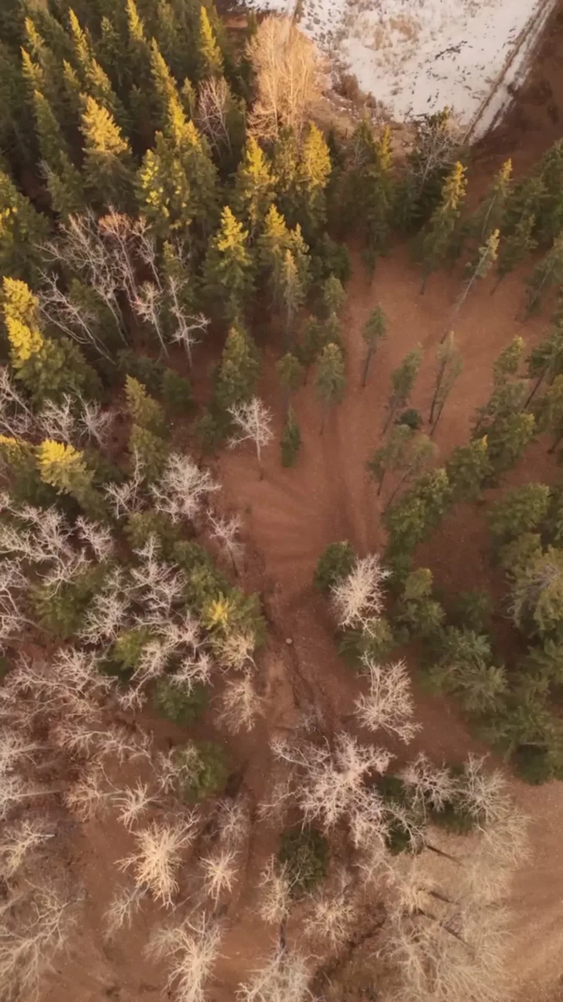
What gets shot in Hidden Valley.
- luxury residential
- commercial retail
Every subject above is delivered through the same aerial photography and cinematography services, scoped and quoted before the shoot is booked.
What the research actually says.
403% more enquiries
Listings that include video have been reported to receive several times the enquiry volume of listings without it.
Enquiry volume is the top of the funnel. A listing that starts more conversations closes from a larger pool.
Reported by RubyHome, real estate photography research roundup, 2024
Advanced certificate
Transport Canada requires a Pilot Certificate for Advanced Operations to fly a remotely piloted aircraft in controlled airspace or near bystanders.
Most of Calgary sits inside the CYYC control zone. An operator without this certificate cannot legally fly the majority of addresses in the city.
Transport Canada, 2025
68% faster
Listings marketed with aerial photography have been reported to sell substantially faster than those using ground photography alone.
On a listing carrying monthly holding costs, the weeks removed from time-on-market are the return on the shoot.
Reported by RubyHome, real estate photography research roundup, 2024
Hidden Valley and what surrounds it.
- Aerial photography in Hamptons2 km · Class C control zone (CYYC)
- Aerial photography in MacEwan Glen1 km · Class C control zone (CYYC)
- Aerial photography in Panorama Hills1 km · Class C control zone (CYYC)
- Aerial photography in Arbour Lake5 km · CYYC control zone edge
- Aerial photography in Banff Trail8 km · Class C control zone (CYYC)
How a Hidden Valley shoot runs.
- 01Scope and quote. Most Hidden Valley work is luxury residential or commercial retail, and the shot list follows the subject. Mobilisation is stated separately from the fee.
- 02Airspace. Hidden Valley sits under Calgary International Airport (CYYC), 9 km away. Authorisation is filed with NAV CANADA and the date is confirmed once it is in hand.
- 03Weather window. Chinook belt. The community's lower streets take some shelter from the surrounding higher ground, but the rim streets meet the west wind directly. The park water reads from ice-off to freeze-up; after freeze-up the frame shifts to snow-lined street geometry and the low winter sun.
- 04Shoot day. About 20 minutes from the Calgary base. Launch from the subject property with the owner's permission; parks bylaws restrict drone takeoff and landing on City of Calgary park land, Hidden Valley Park included, so flights launch from private property with the client's consent.
- 05Delivery. Edited files delivered digitally — no attendance required at any stage, which is how out-of-province owners of Hidden Valley property are served.
Hidden Valley questions, answered.
What authorisation does a drone flight in Hidden Valley need?
A NAV CANADA RPAS authorisation, flown under an Advanced certificate. Hidden Valley sits about 9 km from Calgary International inside the CYYC Class C control zone, so Fly4MEdia files the authorisation before your shoot date is confirmed and verifies the exact site and altitude against NAV Drone before flying.
Can aerial photos show how close a Hidden Valley home is to the park?
Yes — that relationship is the reason to go aerial here. An orbit frames the house, Hidden Valley Park and its water together, so a buyer sees the actual distance rather than reading it off a map. Ground photography cannot capture that adjacency at all.
Hidden Valley is 2 km from Hamptons.
Because mobilisation is quoted from the Calgary base, Hidden Valley and Hamptons, 2 km away, carry different quotes for an identical subject.
Nearby
Coverage
Airspace information last verified . Rules change — every flight is re-checked before it happens.