
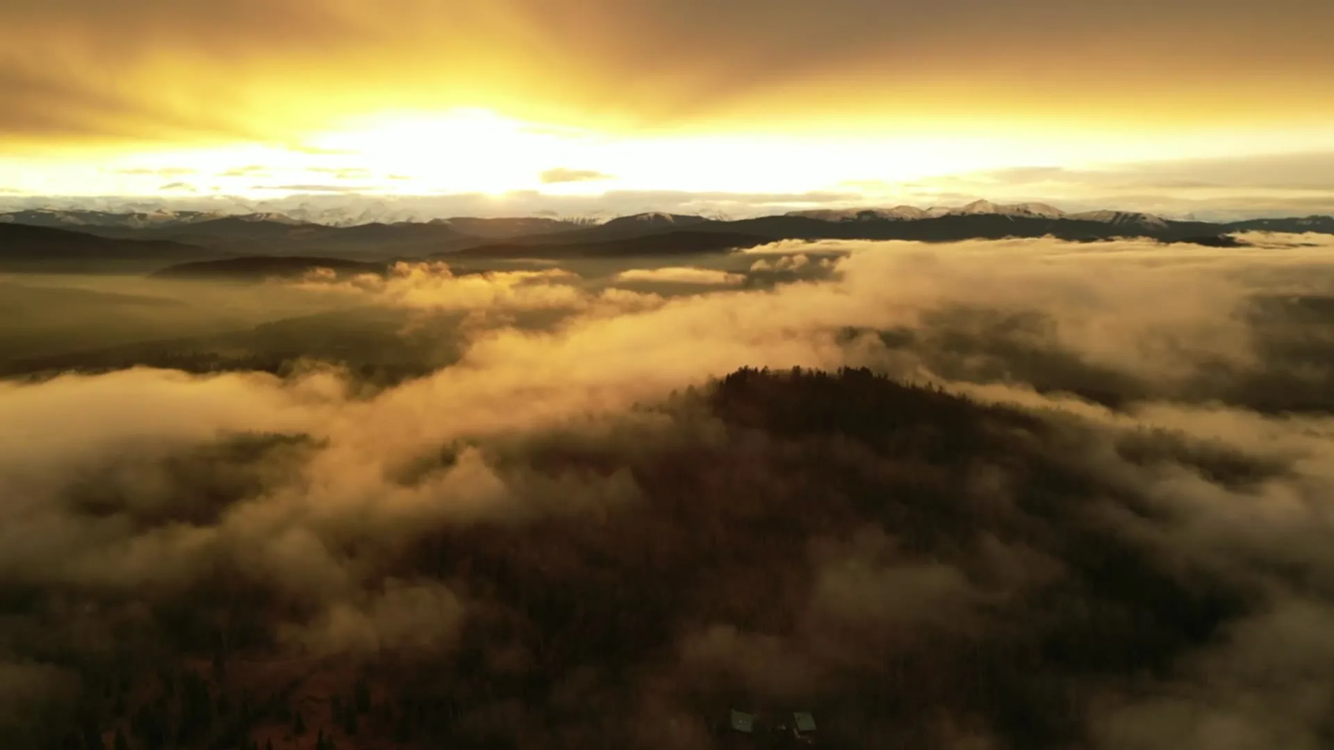
Drone photography in Arbour Lake, Alberta
In the last hour of the day, Arbour Lake outshines everything around it — the water takes the western sky's light while the rooftops along Arbour Lake Drive NW have already gone to shadow. Shot at midday, the same water reads flat and grey, and the community's one differentiator — the lake a buyer is paying to live beside — looks like any stormwater pond. Ground photography cannot show the lot's relationship to the water at all.
Does Fly4MEdia fly drones in Arbour Lake?
Yes. Fly4MEdia flies drone photography and cinematography in Arbour Lake, Alberta. The airspace is CYYC control zone edge. Work here flies under an Advanced RPAS certificate, and the airspace authorisation is filed before any shoot date is confirmed. Typical mobilisation from the Calgary base is 20 minutes.
Arbour Lake at a glance.
| Base of operations | Calgary, Alberta |
|---|---|
| Drive time from base | 20 minutes |
| Airspace | CYYC control zone edge |
| Nearest aerodrome | Calgary International Airport (CYYC) |
| Authorisation required | Yes — filed before booking is confirmed |
| Flight status | Flown with airspace authorisation |
| Certification | Transport Canada RPAS — Advanced Operations |
| Response | Reply within one business day |
| Airspace last verified | 2026-09-01 |
Flying Arbour Lake: the ground truth.
In the last hour of the day, Arbour Lake outshines everything around it — the water takes the western sky's light while the rooftops along Arbour Lake Drive NW have already gone to shadow. Shot at midday, the same water reads flat and grey, and the community's one differentiator — the lake a buyer is paying to live beside — looks like any stormwater pond. Ground photography cannot show the lot's relationship to the water at all.
A golden-hour hold timed to that last hour, with a boundary-line orbit that keeps the property and the lit water in the same frame, delivered in the standard turnaround.
Airspace. At about 14 km from Calgary International, Arbour Lake runs close to the charted edge of the CYYC control zone — which side of the line an address falls on decides the paperwork. Planning treats it as controlled airspace until NAV Drone shows otherwise, and any required authorisation is filed before the date is booked. Every flight is preceded by a NAV Drone check of the specific site and altitude. This is a corridor-level assessment; the specific address is confirmed against NAV Drone before every flight.
Terrain. Rolling northwest bench terrain arranged around a constructed lake, with streets stepping toward the water and the Crowfoot commercial flats at the community's edge.
Wind. Squarely in the chinook belt. A winter chinook can move surface wind from workable to grounded within the hour, so flight windows are planned around the gust spread rather than the forecast average.
Light. Golden hour runs late into summer evenings at this latitude and collapses to late afternoon in winter. The lake keeps a second calendar — open water between ice-off and freeze-up, then a white, featureless plate once it freezes.
On the ground. City of Calgary parks bylaws restrict drone takeoff and landing in municipal parks and on pathways, so launches are staged from private property with the client's consent. About 20 minutes from the Calgary base. Same-day work is realistic when weather and authorisation align, and a trip here pairs naturally with Tuscany, Royal Oak or Rocky Ridge.
From the reel
What gets shot in Arbour Lake.
- luxury residential
- commercial retail
- municipal infrastructure
Every subject above is delivered through the same aerial photography and cinematography services, scoped and quoted before the shoot is booked.
What the research actually says.
30% more
McKinsey research cited across the inspection sector finds that organisations relying on manual inspection spend materially more on maintenance and safety than those using drone-based assessment.
For a portfolio of assets, the inspection method is a recurring cost line, not a one-off purchase. The differential compounds annually.
Reported by McKinsey & Company, cited by Averroes, 2025
Industry standard
The National Association of Realtors maintains dedicated guidance on commercial drone use in listing marketing, including the certification and airspace rules an operator must meet.
Aerial media is an established part of listing marketing with real compliance requirements. The question is whether your operator meets them, not whether to use it.
30–40% less inventory
Real-time integrity data from aerial inspection programmes is reported to let operators reduce spare-parts inventory by thirty to forty per cent.
Better condition data does not just reduce inspection cost. It releases working capital that was insuring against not knowing.
Reported by Power Engineering, 2025
Arbour Lake and what surrounds it.
- Aerial photography in Tuscany2 km · CYYC control zone edge
- Aerial photography in Royal Oak3 km · Mixed — CYBW control zone boundary
- Aerial photography in Rocky Ridge2 km · CYBW control zone boundary
- Aerial photography in Northwest Calgary4 km · Class C control zone (CYYC)
- Aerial photography in Banff Trail9 km · Class C control zone (CYYC)
How an Arbour Lake shoot runs.
- 01Scope and quote. Most Arbour Lake work is luxury residential or commercial retail, and the shot list follows the subject. Mobilisation is stated separately from the fee.
- 02Airspace. Arbour Lake sits under Calgary International Airport (CYYC), 14 km away. Authorisation is filed with NAV CANADA and the date is confirmed once it is in hand.
- 03Weather window. Squarely in the chinook belt. A winter chinook can move surface wind from workable to grounded within the hour, so flight windows are planned around the gust spread rather than the forecast average. Golden hour runs late into summer evenings at this latitude and collapses to late afternoon in winter. The lake keeps a second calendar — open water between ice-off and freeze-up, then a white, featureless plate once it freezes.
- 04Shoot day. About 20 minutes from the Calgary base. Launch from the subject property with the owner's permission; city of Calgary parks bylaws restrict drone takeoff and landing in municipal parks and on pathways, so launches are staged from private property with the client's consent.
- 05Delivery. Edited files delivered digitally — no attendance required at any stage, which is how out-of-province owners of Arbour Lake property are served.
Arbour Lake questions, answered.
Is Arbour Lake inside the Calgary airport control zone?
It sits on the edge. Arbour Lake is about 14 km from Calgary International, near the charted boundary of the CYYC control zone, so which side of the line an address falls on decides the paperwork. It is planned as controlled airspace until NAV Drone shows otherwise, and any required authorisation is filed before the date is booked.
When should a lakefront property in Arbour Lake be photographed?
In the last hour of good light. At golden hour the lake takes the colour of the western sky and becomes the brightest element in the frame, which is exactly when an aerial should hold the house and the water together. At midday the same water reads flat and grey.
Can an Arbour Lake shoot be booked same-day?
Often, yes. Arbour Lake is about 20 minutes from the Calgary base, so when weather and airspace align a same-day flight is realistic. It also pairs efficiently with Tuscany, Royal Oak or Rocky Ridge, so neighbouring properties can share one trip.
Arbour Lake is 2 km from Tuscany.
Because mobilisation is quoted from the Calgary base, Arbour Lake and Tuscany, 2 km away, carry different quotes for an identical subject.
Nearby
Coverage
Airspace information last verified . Rules change — every flight is re-checked before it happens.