
Drone photography in High River, Alberta
High River sits on the Highwood River floodplain, and the 2013 flood rebuilt large parts of the town around new berms and drainage works. Flood mitigation is invisible from the street and highly visible from above, which matters to buyers, insurers and lenders assessing a property here.
Does Fly4MEdia fly drones in High River?
Yes. Fly4MEdia flies drone photography and cinematography in High River, Alberta. The airspace is Class G uncontrolled. No airspace authorisation is normally required. Typical mobilisation from the Calgary base is 45 minutes.
High River at a glance.
| Base of operations | Calgary, Alberta |
|---|---|
| Drive time from base | 45 minutes |
| Airspace | Class G uncontrolled |
| Nearest aerodrome | High River aerodrome |
| Authorisation required | No |
| Flight status | Flown routinely |
| Certification | Transport Canada RPAS — Advanced Operations |
| Response | Reply within one business day |
| Airspace last verified | 2026-08-31 |
Flying High River: the ground truth.
High River sits on the Highwood River floodplain, and the 2013 flood rebuilt large parts of the town around new berms and drainage works. Flood mitigation is invisible from the street and highly visible from above, which matters to buyers, insurers and lenders assessing a property here.
A plan-view pass shows the property's actual relationship to the river and the mitigation works — the question a High River buyer is really asking.
Airspace. High River sits in uncontrolled Class G airspace. The town aerodrome is close enough that its circuit is plotted on every local flight plan. This is a corridor-level assessment; the specific address is confirmed against NAV Drone before every flight.
Terrain. River floodplain and open ranch land. Very flat, with the Highwood River corridor as the defining feature.
Wind. Southern foothills exposure. Strong, persistent west and southwest wind is normal rather than exceptional.
Light. Long, open light. The river corridor is at its most legible after ice-off and before summer growth closes the banks in.
On the ground. Town of High River rules govern municipal land and the river pathway system. About 45 minutes south of the Calgary base. Comfortably same-day, though the wind window drives the timing more than the drive does.
From the reel
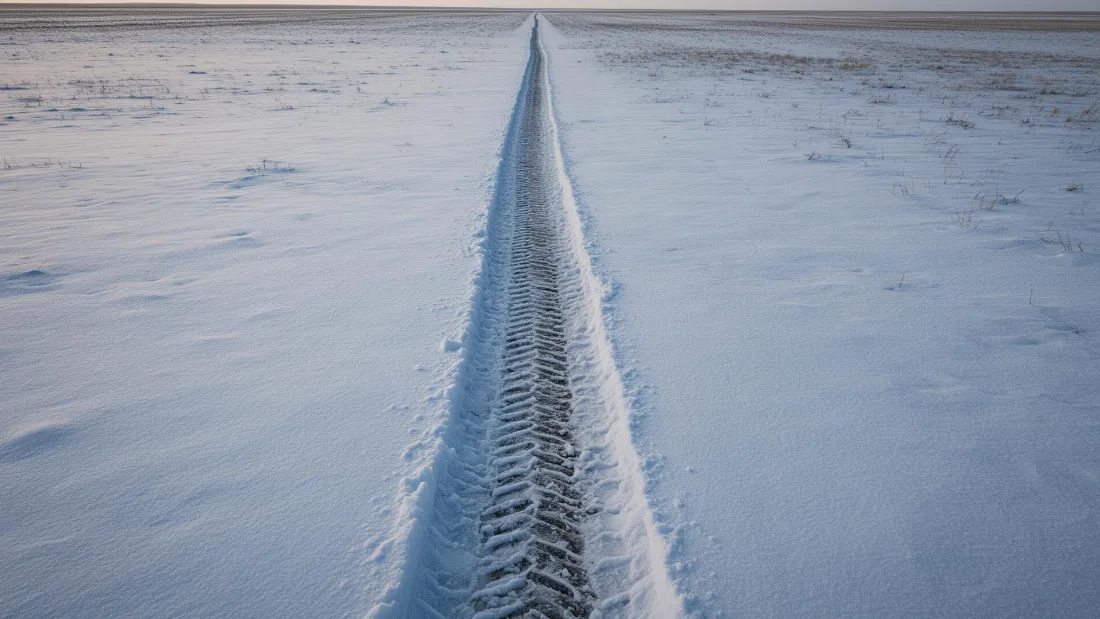
What gets shot in High River.
- agricultural
- new build subdivision
- commercial retail
- municipal infrastructure
Every subject above is delivered through the same aerial photography and cinematography services, scoped and quoted before the shoot is booked.
What the research actually says.
Up to 90% lower
An Oklahoma pipeline operator reports remediation cost reductions of up to ninety per cent through early leak detection by drone.
Remediation cost scales with how long a problem ran undetected. Detection frequency is the variable, and aerial capture is what makes frequency affordable.
Reported by Power Engineering, 2025
40–60% lower
Construction programmes adopting systematic drone survey report reductions of roughly half in surveying cost, alongside faster data collection.
The saving is structural rather than one-off: it applies to every survey cycle across the life of the project.
Reported by Datumate, 2025
30–40% less inventory
Real-time integrity data from aerial inspection programmes is reported to let operators reduce spare-parts inventory by thirty to forty per cent.
Better condition data does not just reduce inspection cost. It releases working capital that was insuring against not knowing.
Reported by Power Engineering, 2025
High River and what surrounds it.
- Aerial photography in Okotoks18 km · Class G uncontrolled
- Aerial photography in Aldersyde13 km · Class G uncontrolled, local aerodrome nearby
- Aerial photography in Cayley14 km · Class G uncontrolled
- Aerial photography in Nanton26 km · Class G uncontrolled
- Aerial photography in Diamond Valley29 km · Class G uncontrolled
How a High River shoot runs.
- 01Scope and quote. Most High River work is agricultural or new build subdivision, and the shot list follows the subject. Mobilisation is stated separately from the fee.
- 02Airspace. Checked against NAV Drone from the address, not the postcode. High River is class g uncontrolled, so authorisation is not normally required — but High River aerodrome is 3 km away and its circuit is plotted regardless.
- 03Weather window. Southern foothills exposure. Strong, persistent west and southwest wind is normal rather than exceptional. Long, open light. The river corridor is at its most legible after ice-off and before summer growth closes the banks in.
- 04Shoot day. About 45 minutes from the Calgary base. Launch from the subject property with the owner's permission; town of High River rules govern municipal land and the river pathway system.
- 05Delivery. Edited files delivered digitally — no attendance required at any stage, which is how out-of-province owners of High River property are served.
High River questions, answered.
Can you fly a drone in High River?
Yes. High River sits in uncontrolled Class G airspace, so no NAV CANADA authorisation is normally required. The town aerodrome is close, so its circuit is plotted on the flight plan before every local shoot.
Why does flood context matter for High River aerial photography?
Because buyers, insurers and lenders all ask about it. A property's relationship to the Highwood River and to the mitigation works built after 2013 is invisible at street level and immediately clear in a plan view from altitude.
Is wind a problem for drone shoots in High River?
It is the main scheduling constraint. Southern foothills exposure means strong, persistent west and southwest wind is normal here, so a High River shoot is planned around a wind window rather than a calendar slot.
High River is 18 km from Okotoks.
Mobilisation is quoted from the Calgary base, so a shoot in High River and one 18 km away in Okotoks are priced differently even when the subject is identical.
Nearby
Coverage
Airspace information last verified . Rules change — every flight is re-checked before it happens.