
Drone photography in Diamond Valley, Alberta
The treed river corridor between Diamond Valley's two halves runs its own calendar — leafed out before the benches in spring, gold ahead of them in autumn, and holding snow in its shade after Government Rd and Centre Ave are bare. The same address can read lush, golden or flat depending on the week, so a shoot booked to a diary date instead of the corridor's stage often misses the setting the town actually sells on.
Does Fly4MEdia fly drones in Diamond Valley?
Yes. Fly4MEdia flies drone photography and cinematography in Diamond Valley, Alberta. The airspace is Class G uncontrolled. No airspace authorisation is normally required. From the Calgary base, mobilisation is typically 40 minutes.
Diamond Valley at a glance.
| Base of operations | Calgary, Alberta |
|---|---|
| Drive time from base | 40 minutes |
| Airspace | Class G uncontrolled |
| Nearest aerodrome | Okotoks Air Park |
| Authorisation required | No |
| Flight status | Flown routinely |
| Certification | Transport Canada RPAS — Advanced Operations |
| Response | Reply within one business day |
| Airspace last verified | 2026-09-01 |
Flying Diamond Valley: the ground truth.
The treed river corridor between Diamond Valley's two halves runs its own calendar — leafed out before the benches in spring, gold ahead of them in autumn, and holding snow in its shade after Government Rd and Centre Ave are bare. The same address can read lush, golden or flat depending on the week, so a shoot booked to a diary date instead of the corridor's stage often misses the setting the town actually sells on.
Shoots here are timed to the valley's stage, and when the colour window opens, a golden-hour hold over the corridor catches it — delivered in the standard turnaround.
Airspace. Diamond Valley lies outside the charted Calgary-area control zones in uncontrolled Class G airspace, about 22 km from Okotoks Air Park. No airspace authorisation is normally required. The specific site and altitude are confirmed against NAV Drone before every flight. This is a corridor-level assessment; the specific address is confirmed against NAV Drone before every flight.
Terrain. Foothills bench country split by a wooded river valley — the two former townsites face each other across it, and the ranch land climbs west from the last streets toward the front ranges.
Wind. Chinook belt, hard against the foothills. West wind comes off the front ranges with the gust spread already built in, and the open bench ground takes it at full strength.
Light. The valley corridor carries the seasonal story — first green in spring, a short gold window in autumn, snow lingering in its shade — while evening light rakes the benches from the west.
On the ground. Town of Diamond Valley park and pathway rules govern launch and landing on municipal land; private-property launch with the owner's permission is the default. About 40 minutes southwest of the Calgary base. A straightforward same-day booking, often paired with Millarville or Longview work on the same trip.
From the reel
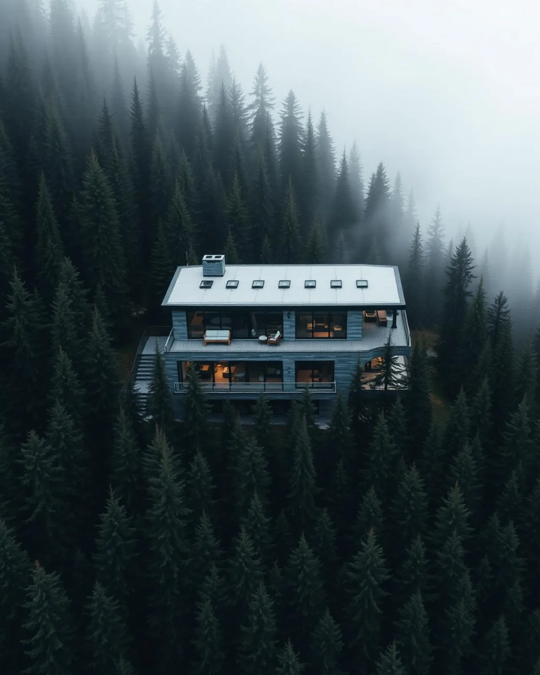
What gets shot in Diamond Valley.
- luxury residential
- acreage estate
- municipal infrastructure
Every subject above is delivered through the same aerial photography and cinematography services, scoped and quoted before the shoot is booked.
What the research actually says.
Industry standard
The National Association of Realtors maintains dedicated guidance on commercial drone use in listing marketing, including the certification and airspace rules an operator must meet.
Aerial media is an established part of listing marketing with real compliance requirements. The question is whether your operator meets them, not whether to use it.
30–40% less inventory
Real-time integrity data from aerial inspection programmes is reported to let operators reduce spare-parts inventory by thirty to forty per cent.
Better condition data does not just reduce inspection cost. It releases working capital that was insuring against not knowing.
Reported by Power Engineering, 2025
8 weeks, not 8 months
During post-hurricane restoration in Puerto Rico a drone team pulled 72,000 feet of conductor rope in eight weeks — work previously estimated at six to eight months.
In restoration and outage work the schedule is the cost. Aerial methods change the order of magnitude, not the margin.
Reported by Power Engineering, 2025
Diamond Valley and what surrounds it.
- Aerial photography in Okotoks19 km · Class G uncontrolled
- Aerial photography in High River29 km · Class G uncontrolled
- Aerial photography in Longview22 km · Class G uncontrolled
- Aerial photography in Priddis21 km · Class G uncontrolled
- Aerial photography in Aldersyde23 km · Class G uncontrolled, local aerodrome nearby
How a Diamond Valley shoot runs.
- 01Scope and quote. Most Diamond Valley work is luxury residential or acreage estate, and the shot list follows the subject. Mobilisation is stated separately from the fee.
- 02Airspace. Checked against NAV Drone from the address, not the postcode. Diamond Valley is class g uncontrolled, so authorisation is not normally required — but Okotoks Air Park is 22 km away and its circuit is plotted regardless.
- 03Weather window. Chinook belt, hard against the foothills. West wind comes off the front ranges with the gust spread already built in, and the open bench ground takes it at full strength. The valley corridor carries the seasonal story — first green in spring, a short gold window in autumn, snow lingering in its shade — while evening light rakes the benches from the west.
- 04Shoot day. About 40 minutes from the Calgary base. Launch from the subject property with the owner's permission; town of Diamond Valley park and pathway rules govern launch and landing on municipal land; private-property launch with the owner's permission is the default.
- 05Delivery. Edited files delivered digitally — no attendance required at any stage, which is how out-of-province owners of Diamond Valley property are served.
Diamond Valley questions, answered.
Is drone flight over Diamond Valley restricted?
No. Diamond Valley sits in uncontrolled Class G airspace, about 22 km from Okotoks Air Park and outside the charted Calgary-area control zones, so no airspace authorisation is normally required. The specific site and altitude are confirmed against NAV Drone before every flight, the same check that runs on every booking.
When is the best time of year to photograph a Diamond Valley property?
Match the booking to the river corridor rather than the calendar. The treed valley between the town's two halves greens up ahead of the benches in spring and turns gold for a short window in autumn — the strongest colour the town shows. Shooting to that stage decides how much of the setting a listing keeps.
Can the Turner Valley Gas Plant National Historic Site appear in aerial work?
As context, yes. The site reads clearly from a lawful orbit flown off adjacent property, so it can anchor a frame without being overflown. Launches stage from private property with the owner's consent, and any work over the site itself is arranged with its operators rather than assumed.
Diamond Valley is 19 km from Okotoks.
Every quote starts at the Calgary base, which is why identical subjects in Diamond Valley and Okotoks — 19 km apart — price differently.
Nearby
Coverage
Airspace information last verified . Rules change — every flight is re-checked before it happens.