
Drone photography in Keoma, Alberta
Keoma's airspace record is short on purpose: Class G overhead, the nearest aerodrome about 20 km away at Strathmore, and no control zone charted over the hamlet. The regulatory geometry that shapes flights closer to the city runs out before it reaches Keoma Crossroads. Clients often assume every shoot near Calgary carries airport paperwork and lead time, so they book late and pad the schedule. Here that assumption costs them the good weather window, because the actual constraints at Keoma are wind and light, not authorisation.
Does Fly4MEdia fly drones in Keoma?
Yes. Fly4MEdia flies drone photography and cinematography in Keoma, Alberta. The airspace is Class G uncontrolled. No airspace authorisation is normally required. Typical mobilisation from the Calgary base is 40 minutes.
Keoma at a glance.
| Base of operations | Calgary, Alberta |
|---|---|
| Drive time from base | 40 minutes |
| Airspace | Class G uncontrolled |
| Nearest aerodrome | Strathmore aerodrome |
| Authorisation required | No |
| Flight status | Flown routinely |
| Certification | Transport Canada RPAS — Advanced Operations |
| Response | Reply within one business day |
| Airspace last verified | 2026-09-01 |
Flying Keoma: the ground truth.
Keoma's airspace record is short on purpose: Class G overhead, the nearest aerodrome about 20 km away at Strathmore, and no control zone charted over the hamlet. The regulatory geometry that shapes flights closer to the city runs out before it reaches Keoma Crossroads. Clients often assume every shoot near Calgary carries airport paperwork and lead time, so they book late and pad the schedule. Here that assumption costs them the good weather window, because the actual constraints at Keoma are wind and light, not authorisation.
Booking is planned against the forecast instead of the paperwork — a golden-hour hold or a short-notice flight is realistic at Keoma, confirmed against NAV Drone as the final check and delivered in the standard turnaround.
Airspace. Keoma lies outside the charted Calgary-area control zones in uncontrolled Class G airspace, about 20 km from Strathmore aerodrome. No airspace authorisation is normally required. The specific site and altitude are confirmed against NAV Drone before every flight. This is a corridor-level assessment; the specific address is confirmed against NAV Drone before every flight.
Terrain. Level to gently rolling grain country divided by the range-road grid; from altitude Keoma reads as a crossroads settlement with fields running unbroken to the horizon on every side.
Wind. Chinook-belt prairie with open exposure in every direction. West wind crosses the corridor unimpeded, and afternoons typically run windier than mornings as daytime heating builds, so calm-light windows sit at either end of the day.
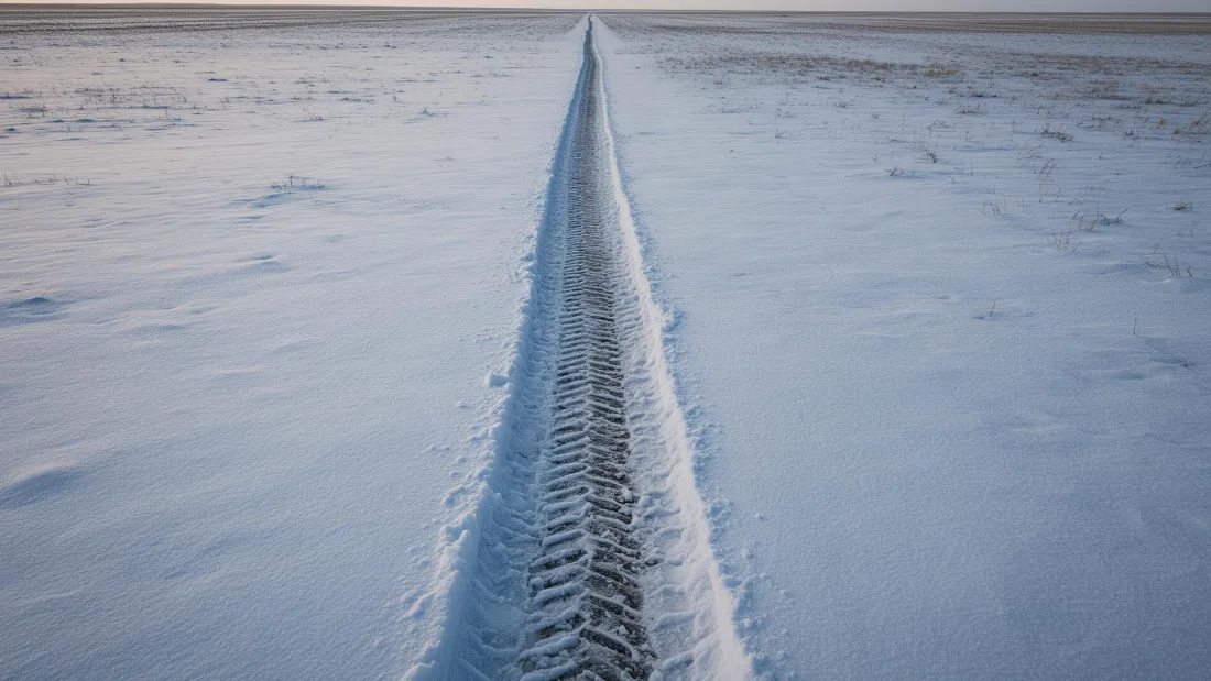
Light. The crop cycle is the palette. Seeded rows, green-up, swathing and stubble each give the grid around Keoma Crossroads a different texture, and low sun at either end of the day rakes that texture into relief. Snow turns the same grid graphic and simple.
On the ground. Municipal ground at Keoma falls under Rocky View County's park and public-land rules, so takeoff and landing are staged from the subject property with the owner's consent. About 40 minutes from the Calgary base. With no paperwork lead time, short-notice work is realistic, and Kathyrn, Dalroy and Delacour sit close enough to share the mobilisation.
From the reel
What gets shot in Keoma.
- agricultural
- industrial yard
Every subject above is delivered through the same aerial photography and cinematography services, scoped and quoted before the shoot is booked.
What the research actually says.
18 days to 4 hours
Marathon Pipe Line cut its response time to potential pipeline issues from eighteen days to four hours using drone inspection, preventing six major incidents in the first year at a reported saving of $8.3 million.
On linear infrastructure the cost is not the inspection. It is the time between a fault existing and anyone knowing about it.
Reported by Power Engineering, 2025
30–40% less inventory
Real-time integrity data from aerial inspection programmes is reported to let operators reduce spare-parts inventory by thirty to forty per cent.
Better condition data does not just reduce inspection cost. It releases working capital that was insuring against not knowing.
Reported by Power Engineering, 2025
40–60% lower
Construction programmes adopting systematic drone survey report reductions of roughly half in surveying cost, alongside faster data collection.
The saving is structural rather than one-off: it applies to every survey cycle across the life of the project.
Reported by Datumate, 2025
Keoma and what surrounds it.
- Aerial photography in Kathyrn7 km · Class G uncontrolled
- Aerial photography in Dalroy20 km · Class C control zone (CYYC)
- Aerial photography in Delacour12 km · Class G uncontrolled
- Aerial photography in Conrich20 km · CYYC control zone vicinity
- Aerial photography in Langdon25 km · Class G uncontrolled
How a Keoma shoot runs.
- 01Scope and quote. Most Keoma work is agricultural or industrial yard, and the shot list follows the subject. Mobilisation is stated separately from the fee.
- 02Airspace. Checked against NAV Drone from the address, not the postcode. Keoma is class g uncontrolled, so authorisation is not normally required — but Strathmore aerodrome is 20 km away and its circuit is plotted regardless.
- 03Weather window. Chinook-belt prairie with open exposure in every direction. West wind crosses the corridor unimpeded, and afternoons typically run windier than mornings as daytime heating builds, so calm-light windows sit at either end of the day. The crop cycle is the palette. Seeded rows, green-up, swathing and stubble each give the grid around Keoma Crossroads a different texture, and low sun at either end of the day rakes that texture into relief. Snow turns the same grid graphic and simple.
- 04Shoot day. About 40 minutes from the Calgary base. Launch from the subject property with the owner's permission; municipal ground at Keoma falls under Rocky View County's park and public-land rules, so takeoff and landing are staged from the subject property with the owner's consent.
- 05Delivery. Edited files delivered digitally — no attendance required at any stage, which is how out-of-province owners of Keoma property are served.
Keoma questions, answered.
How does airspace affect booking a drone shoot in Keoma?
It barely does. Keoma lies in uncontrolled Class G airspace about 20 km from Strathmore aerodrome, outside the charted Calgary-area control zones, so no authorisation is normally required and no paperwork lead time applies. The site and altitude are still confirmed against NAV Drone before every flight.
What is worth photographing from the air around Keoma?
Working agricultural land, first and foremost. Yard sites, field pattern and the crossroads settlement itself all read strongly from altitude, and Highway 566 gives equipment and yard operations a natural approach-run subject. The strongest material follows the crop cycle rather than any fixed calendar date.
Can Keoma be shot on the same trip as neighbouring hamlets?
Yes. Keoma is about 40 minutes from the Calgary base, and Kathyrn, Dalroy and Delacour all sit within a short drive, so one mobilisation can cover several properties across the corridor. Grouping shoots this way is the most efficient booking for this part of Rocky View County.
Keoma is 7 km from Kathyrn.
Every quote starts at the Calgary base, which is why identical subjects in Keoma and Kathyrn — 7 km apart — price differently.
Nearby
Coverage
Airspace information last verified . Rules change — every flight is re-checked before it happens.