
Drone photography in Luxstone, Alberta
Luxstone keeps its open ground on the east — the community runs along the green line of Nose Creek Regional Park — so its best light is the morning kind, coming up over parkland instead of over a facing roofline. A park-backing listing booked for a standard evening slot shows its selling side in shadow — the low sun sits behind the house, and the park frontage that justifies the price goes dark.
Does Fly4MEdia fly drones in Luxstone?
Yes. Fly4MEdia flies drone photography and cinematography in Luxstone, Alberta. The airspace is Mixed — control zone edge and local aerodrome. An Advanced RPAS certificate covers the flight, with airspace authorisation in place before the booking is confirmed. From the Calgary base, mobilisation is typically 30 minutes.
Luxstone at a glance.
| Base of operations | Calgary, Alberta |
|---|---|
| Drive time from base | 30 minutes |
| Airspace | Mixed — control zone edge and local aerodrome |
| Nearest aerodrome | Airdrie aerodrome |
| Authorisation required | Yes — filed before booking is confirmed |
| Flight status | Flown with airspace authorisation |
| Certification | Transport Canada RPAS — Advanced Operations |
| Response | Reply within one business day |
| Airspace last verified | 2026-09-01 |
Flying Luxstone: the ground truth.
Luxstone keeps its open ground on the east — the community runs along the green line of Nose Creek Regional Park — so its best light is the morning kind, coming up over parkland instead of over a facing roofline. A park-backing listing booked for a standard evening slot shows its selling side in shadow — the low sun sits behind the house, and the park frontage that justifies the price goes dark.
The shoot is scheduled against the lot, not the diary: park-facing frames fly in the morning window, street-facing frames in the evening, and both land in the standard turnaround.
Airspace. About 1 km from Airdrie and in the same airspace corridor, Luxstone is planned as controlled airspace. Operations run under an Advanced RPAS certificate, and a NAV CANADA RPAS authorisation is obtained wherever the specific site calls for one. Before any flight, the exact site and altitude are checked against NAV Drone. This is a corridor-level assessment; the specific address is confirmed against NAV Drone before every flight.
Terrain. Level west-central residential ground with one open edge — the green corridor of Nose Creek Regional Park runs along the community's east side while streets close in the plain on every other.
Wind. Chinook-belt town with no meaningful shelter; the shallow open ground along Nose Creek Regional Park does not slow a west wind, and gust spread matters more than average speed for flight windows.
Light. Morning is the dependable window — clean light coming up over the park — while long summer evenings serve the street side. The park edge greens early in spring and holds colour late, which is when park-backing frames earn the most.
On the ground. Nose Creek Regional Park and the other municipal green spaces around Luxstone are covered by City of Airdrie takeoff and landing rules, so launches stage from private property with the owner's consent. About 30 minutes from the Calgary base, and morning slots matter more here than most places — booking the early window is usually the difference between a lit park frontage and a shadowed one.
From the reel
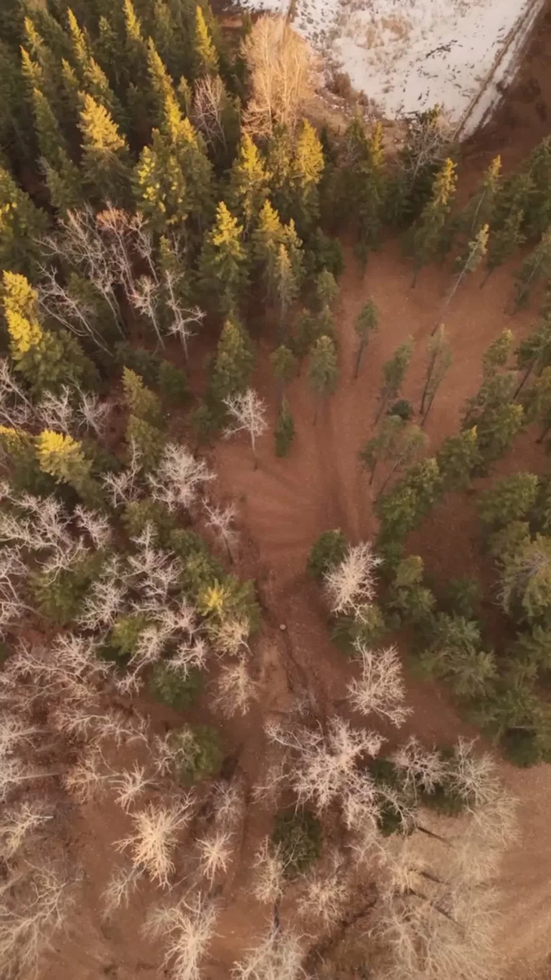
What gets shot in Luxstone.
- luxury residential
- new build subdivision
Every subject above is delivered through the same aerial photography and cinematography services, scoped and quoted before the shoot is booked.
What the research actually says.
Industry standard
The National Association of Realtors maintains dedicated guidance on commercial drone use in listing marketing, including the certification and airspace rules an operator must meet.
Aerial media is an established part of listing marketing with real compliance requirements. The question is whether your operator meets them, not whether to use it.
403% more enquiries
Listings that include video have been reported to receive several times the enquiry volume of listings without it.
Enquiry volume is the top of the funnel. A listing that starts more conversations closes from a larger pool.
Reported by RubyHome, real estate photography research roundup, 2024
68% faster
Listings marketed with aerial photography have been reported to sell substantially faster than those using ground photography alone.
On a listing carrying monthly holding costs, the weeks removed from time-on-market are the return on the shoot.
Reported by RubyHome, real estate photography research roundup, 2024
Luxstone and what surrounds it.
- Aerial photography in Sagewood1 km · Mixed — control zone edge and local aerodrome
- Aerial photography in Bayside2 km · Mixed — control zone edge and local aerodrome
- Aerial photography in Airdrie Downtown2 km · Mixed — control zone edge and local aerodrome
- Aerial photography in Windsong1 km · Mixed — control zone edge and local aerodrome
- Aerial photography in Airdrie1 km · Mixed — control zone edge and local aerodrome
How a Luxstone shoot runs.
- 01Scope and quote. Most Luxstone work is luxury residential or new build subdivision, and the shot list follows the subject. Mobilisation is stated separately from the fee.
- 02Airspace. Luxstone sits under Airdrie aerodrome, 7 km away. Authorisation is filed with NAV CANADA and the date is confirmed once it is in hand.
- 03Weather window. Chinook-belt town with no meaningful shelter; the shallow open ground along Nose Creek Regional Park does not slow a west wind, and gust spread matters more than average speed for flight windows. Morning is the dependable window — clean light coming up over the park — while long summer evenings serve the street side. The park edge greens early in spring and holds colour late, which is when park-backing frames earn the most.
- 04Shoot day. About 30 minutes from the Calgary base. Launch from the subject property with the owner's permission; nose Creek Regional Park and the other municipal green spaces around Luxstone are covered by City of Airdrie takeoff and landing rules, so launches stage from private property with the owner's consent.
- 05Delivery. Edited files delivered digitally — no attendance required at any stage, which is how out-of-province owners of Luxstone property are served.
Luxstone questions, answered.
What airspace applies over Luxstone?
The Airdrie corridor, planned as controlled airspace — Luxstone sits about 1 km out from Airdrie and roughly 7 km from the Airdrie aerodrome. Work runs under an Advanced RPAS certificate with a NAV CANADA authorisation obtained wherever the site requires one, and every site is confirmed against NAV Drone first.
Can aerial photos show a Luxstone home backing onto Nose Creek Regional Park?
Yes — that is the frame worth booking. From altitude, one oblique holds the house, the fence line and the open park behind it, which is the relationship a ground camera loses at the fence. Morning light is scheduled for those frames so the park side of the property is lit, not backlit.
Luxstone is 1 km from Sagewood.
Mobilisation is quoted from the Calgary base, so a shoot in Luxstone and one 1 km away in Sagewood are priced differently even when the subject is identical.
Nearby
Coverage
Airspace information last verified . Rules change — every flight is re-checked before it happens.