
Drone photography in Redwood Meadows, Alberta
Redwood Meadows sits in clear Class G air, 23 km from Springbank Airport and outside its control zone — yet the townsite itself stands on Tsuut'ina Nation land, so the real constraint here is on the ground, not in the sky. An operator who plans a takeoff from the roadside or the surrounding land is staging from ground they have no right to use — the flight would be legal and the launch would not.
Does Fly4MEdia fly drones in Redwood Meadows?
Yes. Fly4MEdia flies drone photography and cinematography in Redwood Meadows, Alberta. The airspace is Class G uncontrolled. Authorisation is not normally required in this airspace. Typical mobilisation from the Calgary base is 40 minutes.
Redwood Meadows at a glance.
| Base of operations | Calgary, Alberta |
|---|---|
| Drive time from base | 40 minutes |
| Airspace | Class G uncontrolled |
| Nearest aerodrome | Springbank Airport (CYBW) |
| Authorisation required | No |
| Flight status | Flown routinely |
| Certification | Transport Canada RPAS — Advanced Operations |
| Response | Reply within one business day |
| Airspace last verified | 2026-09-01 |
Flying Redwood Meadows: the ground truth.
Redwood Meadows sits in clear Class G air, 23 km from Springbank Airport and outside its control zone — yet the townsite itself stands on Tsuut'ina Nation land, so the real constraint here is on the ground, not in the sky. An operator who plans a takeoff from the roadside or the surrounding land is staging from ground they have no right to use — the flight would be legal and the launch would not.
Launches are staged from the client's own property inside the townsite, the plan is confirmed against NAV Drone, and the shoot is delivered in the standard turnaround.
Airspace. Redwood Meadows sits in uncontrolled Class G airspace, clear of the charted Calgary-area control zones and about 23 km from Springbank Airport (CYBW). Authorisation is not normally required here. Every flight is preceded by a NAV Drone check of the specific site and altitude. This is a corridor-level assessment; the specific address is confirmed against NAV Drone before every flight.
Terrain. A forested townsite beside the Elbow River — mature spruce and pine over curving residential streets, fairways threaded between the lots, and the foothills rising a short distance west.
Wind. Chinook winds cross the whole corridor, but the mature timber around the townsite takes the edge off surface gusts; above the canopy the wind runs at full strength.
Light. The conifer canopy keeps its colour through winter, so frames here hold depth after the open country east has gone flat. The Elbow River valley and the tall timber pull shadow across the townsite early on short days.
On the ground. The townsite administers its own public spaces and the surrounding land belongs to the Tsuut'ina Nation, so launches are staged from the client's own property with consent. About 40 minutes west of the Calgary base. A straightforward same-day booking, often paired with Bragg Creek or Elbow Valley work on the same run.
From the reel
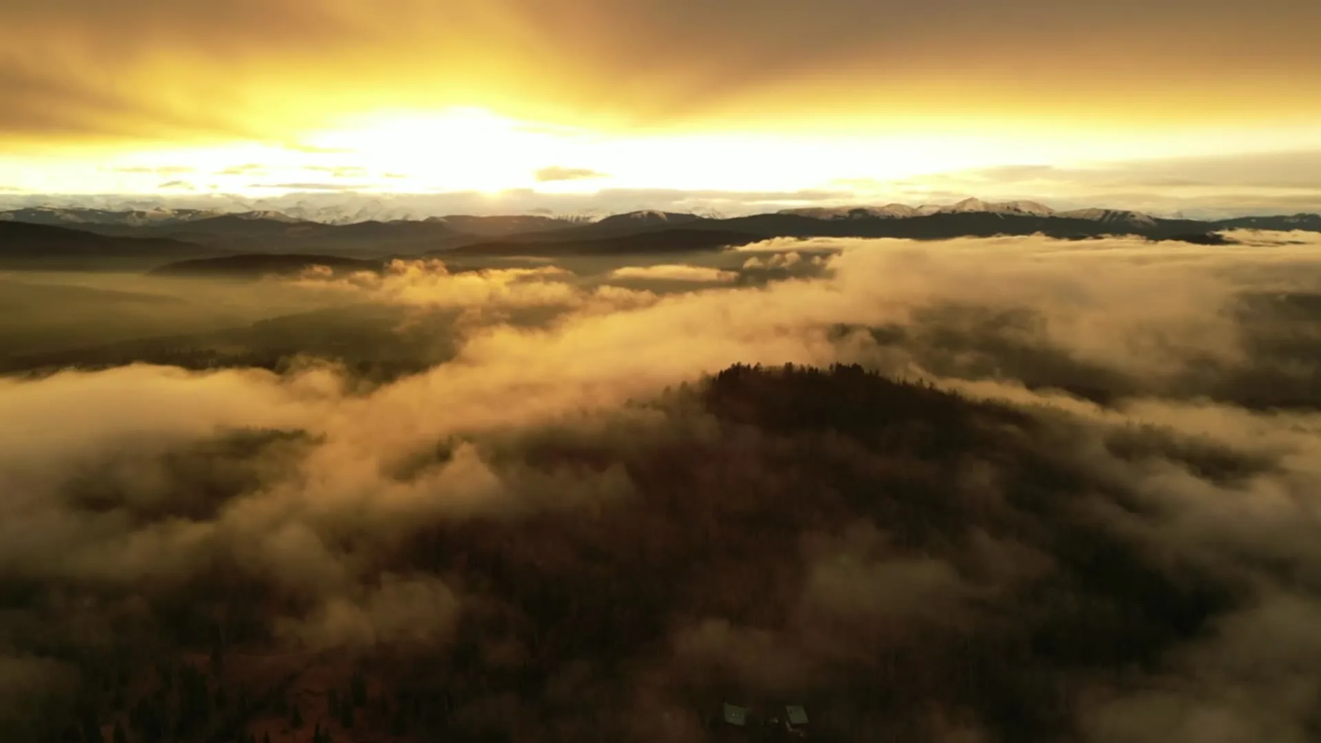
What gets shot in Redwood Meadows.
- luxury residential
- commercial retail
Every subject above is delivered through the same aerial photography and cinematography services, scoped and quoted before the shoot is booked.
What the research actually says.
Advanced certificate
Transport Canada requires a Pilot Certificate for Advanced Operations to fly a remotely piloted aircraft in controlled airspace or near bystanders.
Most of Calgary sits inside the CYYC control zone. An operator without this certificate cannot legally fly the majority of addresses in the city.
Transport Canada, 2025
Industry standard
The National Association of Realtors maintains dedicated guidance on commercial drone use in listing marketing, including the certification and airspace rules an operator must meet.
Aerial media is an established part of listing marketing with real compliance requirements. The question is whether your operator meets them, not whether to use it.
403% more enquiries
Listings that include video have been reported to receive several times the enquiry volume of listings without it.
Enquiry volume is the top of the funnel. A listing that starts more conversations closes from a larger pool.
Reported by RubyHome, real estate photography research roundup, 2024
Redwood Meadows and what surrounds it.
- Aerial photography in Bragg Creek1 km · Class G uncontrolled
- Aerial photography in Cochrane28 km · Class G uncontrolled
- Aerial photography in Elbow Valley19 km · Class C control zone (CYBW) vicinity
- Aerial photography in Springbank21 km · Class C control zone (CYBW)
- Aerial photography in Cremona67 km · Class G uncontrolled
How a Redwood Meadows shoot runs.
- 01Scope and quote. Most Redwood Meadows work is luxury residential or commercial retail, and the shot list follows the subject. Mobilisation is stated separately from the fee.
- 02Airspace. Checked against NAV Drone from the address, not the postcode. Redwood Meadows is class g uncontrolled, so authorisation is not normally required — but Springbank Airport (CYBW) is 23 km away and its circuit is plotted regardless.
- 03Weather window. Chinook winds cross the whole corridor, but the mature timber around the townsite takes the edge off surface gusts; above the canopy the wind runs at full strength. The conifer canopy keeps its colour through winter, so frames here hold depth after the open country east has gone flat. The Elbow River valley and the tall timber pull shadow across the townsite early on short days.
- 04Shoot day. About 40 minutes from the Calgary base. Launch from the subject property with the owner's permission; the townsite administers its own public spaces and the surrounding land belongs to the Tsuut'ina Nation, so launches are staged from the client's own property with consent.
- 05Delivery. Edited files delivered digitally — no attendance required at any stage, which is how out-of-province owners of Redwood Meadows property are served.
Redwood Meadows questions, answered.
Is the airspace over Redwood Meadows restricted?
No. The townsite sits in uncontrolled Class G airspace about 23 km from Springbank Airport, outside its control zone, so no airspace authorisation is normally required. The flight plan is still confirmed against NAV Drone before every shoot, because traffic thickens toward Springbank on the corridor east.
Where can a drone launch from in Redwood Meadows?
From the client's own property, with consent. The townsite stands on Tsuut'ina Nation land beside the Elbow River, so neither the surrounding Nation land nor the public spaces are treated as free launch sites. Staging from the property being photographed keeps the question simple and the flight legal.
Can golf-course frontage be shown without flying over the fairways?
Usually, yes. Lots here back onto the Redwood Meadows Golf & Country Club, and a boundary-line orbit flown from the property side can hold both the house and the fairway in frame. Where a shot genuinely needs course overflight, it is arranged with the club rather than assumed.
Redwood Meadows is 1 km from Bragg Creek.
Because mobilisation is quoted from the Calgary base, Redwood Meadows and Bragg Creek, 1 km away, carry different quotes for an identical subject.
Nearby
Coverage
Airspace information last verified . Rules change — every flight is re-checked before it happens.