
Drone photography in Rundle, Alberta
The open fields at Rundle Park are an honest wind gauge — flat, exposed and without a windbreak to the west, they show a chinook gust the moment it arrives across the city. Wind is the silent variable on this side of Calgary. A shoot booked to a calendar date rather than a gust forecast stands a real chance of meeting conditions the aircraft cannot safely fly, and the appointment is burned.
Does Fly4MEdia fly drones in Rundle?
Yes. Fly4MEdia flies drone photography and cinematography in Rundle, Alberta. The airspace is Class C control zone (CYYC). An Advanced RPAS certificate covers the flight, with airspace authorisation in place before the booking is confirmed. From the Calgary base, mobilisation is typically 15 minutes.
Rundle at a glance.
| Base of operations | Calgary, Alberta |
|---|---|
| Drive time from base | 15 minutes |
| Airspace | Class C control zone (CYYC) |
| Nearest aerodrome | Calgary International Airport (CYYC) |
| Authorisation required | Yes — filed before booking is confirmed |
| Flight status | Flown with airspace authorisation |
| Certification | Transport Canada RPAS — Advanced Operations |
| Response | Reply within one business day |
| Airspace last verified | 2026-09-01 |
Flying Rundle: the ground truth.
The open fields at Rundle Park are an honest wind gauge — flat, exposed and without a windbreak to the west, they show a chinook gust the moment it arrives across the city. Wind is the silent variable on this side of Calgary. A shoot booked to a calendar date rather than a gust forecast stands a real chance of meeting conditions the aircraft cannot safely fly, and the appointment is burned.
Flight windows are booked against the forecast gust spread, and because the NAV CANADA authorisation is filed as part of booking, moving a date for wind is a calendar change rather than fresh paperwork — the set still lands in the standard turnaround.
Airspace. About 6 km from Calgary International, Rundle falls inside the CYYC control zone as charted. An Advanced RPAS certificate covers the operation, with the NAV CANADA RPAS authorisation secured before the booking is confirmed. Peter Lougheed Centre heliport operates about 1 km away, and flight plans keep clear of its approaches. Every flight is preceded by a NAV Drone check of the specific site and altitude. This is a corridor-level assessment; the specific address is confirmed against NAV Drone before every flight.
Terrain. Flat northeast grid with generous green space — the ground is level enough that the community's aerial structure comes from streets and rooflines rather than relief.
Wind. Full chinook exposure on level prairie. Nothing upwind slows a west gust down, and the spread between average and gust decides flyability more than the raw speed.
Light. Chinooks strip and repaint the snow cover all winter, so white-ground frames are a matter of timing. Summer evenings bring long low light across the flat grid; late-summer smoke is the main contrast risk.
On the ground. City of Calgary parks bylaws restrict drone takeoff and landing in municipal parks such as Rundle Park, so launches are staged from private property with the client's consent. About 15 minutes from the Calgary base. Comfortably a same-day booking, and easily paired with Whitehorn, Marlborough or Temple in one trip.
From the reel
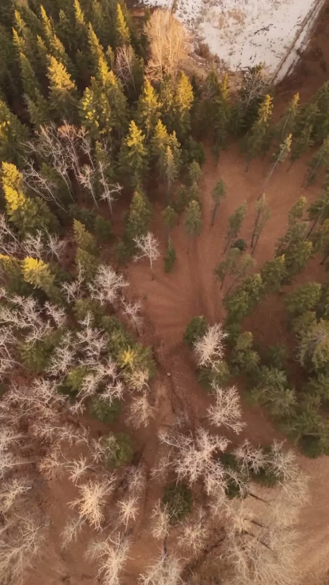
What gets shot in Rundle.
- luxury residential
- commercial retail
- municipal infrastructure
Every subject above is delivered through the same aerial photography and cinematography services, scoped and quoted before the shoot is booked.
What the research actually says.
Up to 75% less time
McKinsey & Company reports that drones can cut surveying time by up to three quarters against traditional ground methods — a three-day site survey completed inside one.
On a consulting engagement billed by the day, survey duration is not a line item. It is the schedule.
Reported by McKinsey & Company, cited by Datumate, 2025
30% more
McKinsey research cited across the inspection sector finds that organisations relying on manual inspection spend materially more on maintenance and safety than those using drone-based assessment.
For a portfolio of assets, the inspection method is a recurring cost line, not a one-off purchase. The differential compounds annually.
Reported by McKinsey & Company, cited by Averroes, 2025
Industry standard
The National Association of Realtors maintains dedicated guidance on commercial drone use in listing marketing, including the certification and airspace rules an operator must meet.
Aerial media is an established part of listing marketing with real compliance requirements. The question is whether your operator meets them, not whether to use it.
Rundle and what surrounds it.
- Aerial photography in Whitehorn2 km · Class C control zone (CYYC)
- Aerial photography in Marlborough1 km · Class C control zone (CYYC)
- Aerial photography in Temple3 km · Class C control zone (CYYC)
- Aerial photography in Abbeydale2 km · Class C control zone (CYYC)
- Aerial photography in Applewood Park3 km · Class C control zone (CYYC)
How a Rundle shoot runs.
- 01Scope and quote. Most Rundle work is luxury residential or commercial retail, and the shot list follows the subject. Mobilisation is stated separately from the fee.
- 02Airspace. Rundle sits under Calgary International Airport (CYYC), 6 km away. Authorisation is filed with NAV CANADA and the date is confirmed once it is in hand.
- 03Weather window. Full chinook exposure on level prairie. Nothing upwind slows a west gust down, and the spread between average and gust decides flyability more than the raw speed. Chinooks strip and repaint the snow cover all winter, so white-ground frames are a matter of timing. Summer evenings bring long low light across the flat grid; late-summer smoke is the main contrast risk.
- 04Shoot day. About 15 minutes from the Calgary base. Launch from the subject property with the owner's permission; city of Calgary parks bylaws restrict drone takeoff and landing in municipal parks such as Rundle Park, so launches are staged from private property with the client's consent.
- 05Delivery. Edited files delivered digitally — no attendance required at any stage, which is how out-of-province owners of Rundle property are served.
Rundle questions, answered.
What does the airport's control zone mean for a Rundle shoot?
It means credentials, not cancellation. Rundle sits about 6 km from Calgary International inside the CYYC Class C control zone, and the Peter Lougheed Centre heliport operates about 1 km away. Fly4MEdia flies under an Advanced RPAS certificate with a NAV CANADA authorisation filed before your date is confirmed.
How does wind affect drone photography in Rundle?
More than any other variable. Rundle is flat and fully exposed to chinook winds, and it is the gust spread — not the average speed — that grounds an aircraft. Shoots are scheduled against the gust forecast, and a wind delay moves the date without restarting any paperwork.
Can you fly near the Peter Lougheed Centre?
Yes, with planning. The hospital heliport operates about 1 km from Rundle, so every flight plan here is drawn to stay clear of its approach paths. That routing is set before the shoot is confirmed, alongside the standard CYYC authorisation, and it does not change what can be delivered.
Rundle is 2 km from Whitehorn.
Because mobilisation is quoted from the Calgary base, Rundle and Whitehorn, 2 km away, carry different quotes for an identical subject.
Nearby
Coverage
Airspace information last verified . Rules change — every flight is re-checked before it happens.