
Drone photography in Silver Springs, Alberta
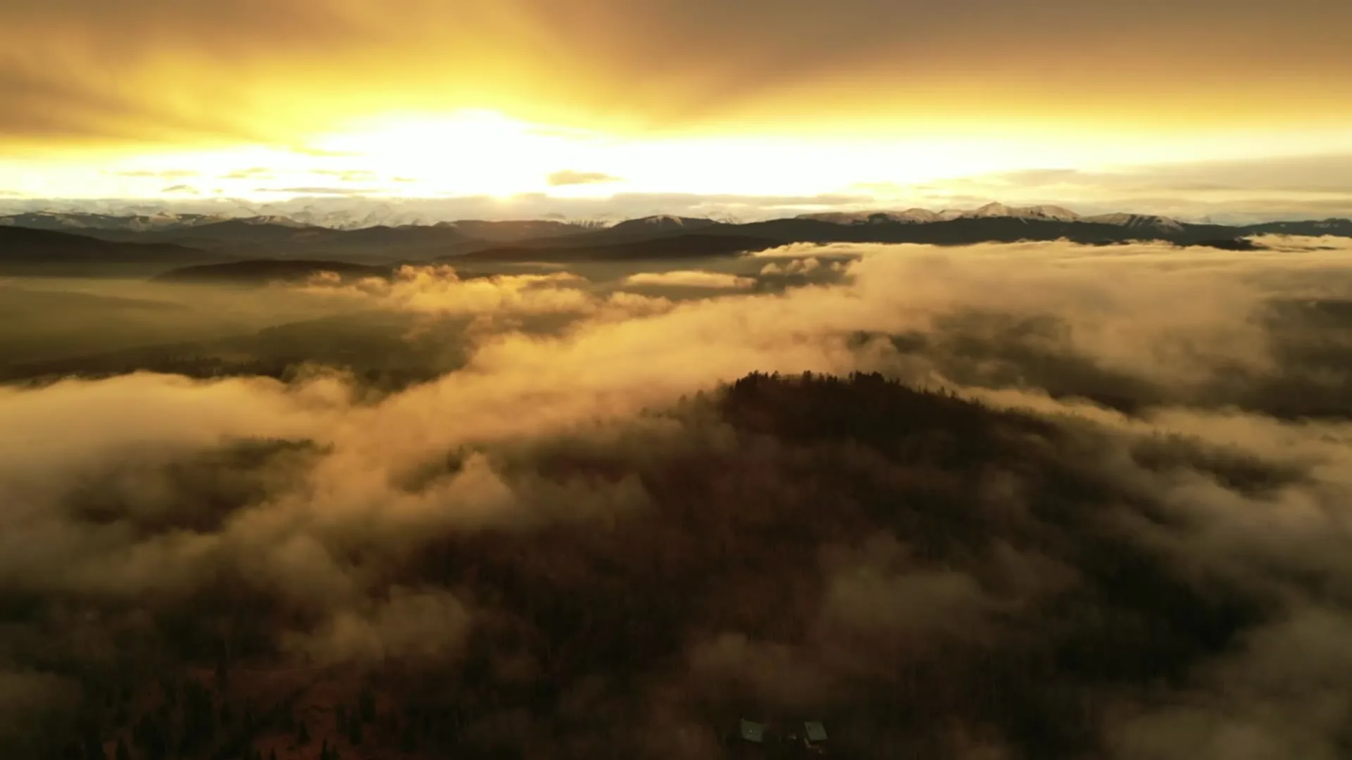
Silver Springs faces its evenings: the community sits on a south-facing bench above Bowmont Park, so the day's last light comes up the valley and rakes along the fairways of Silver Springs Golf Course instead of dying flat. Shot at midday, the same ground turns into a grey grid — the slope, the fairway green and the river below all flatten, and the listing loses the one aspect the community is organised around.
Does Fly4MEdia fly drones in Silver Springs?
Yes. Fly4MEdia flies drone photography and cinematography in Silver Springs, Alberta. The airspace is CYYC control zone edge. Work here flies under an Advanced RPAS certificate, and the airspace authorisation is filed before any shoot date is confirmed. From the Calgary base, mobilisation is typically 20 minutes.
Silver Springs at a glance.
| Base of operations | Calgary, Alberta |
|---|---|
| Drive time from base | 20 minutes |
| Airspace | CYYC control zone edge |
| Nearest aerodrome | Calgary International Airport (CYYC) |
| Authorisation required | Yes — filed before booking is confirmed |
| Flight status | Flown with airspace authorisation |
| Certification | Transport Canada RPAS — Advanced Operations |
| Response | Reply within one business day |
| Airspace last verified | 2026-09-01 |
Flying Silver Springs: the ground truth.
Silver Springs faces its evenings: the community sits on a south-facing bench above Bowmont Park, so the day's last light comes up the valley and rakes along the fairways of Silver Springs Golf Course instead of dying flat. Shot at midday, the same ground turns into a grey grid — the slope, the fairway green and the river below all flatten, and the listing loses the one aspect the community is organised around.
A golden-hour hold timed to that raking light, flown from a private launch above the escarpment, keeps the valley in relief, delivered in the standard turnaround.
Airspace. At about 13 km from Calgary International, Silver Springs runs close to the charted edge of the CYYC control zone — which side of the line an address falls on decides the paperwork. Planning treats it as controlled airspace until NAV Drone shows otherwise, and any required authorisation is filed before the date is booked. Every flight is preceded by a NAV Drone check of the specific site and altitude. This is a corridor-level assessment; the specific address is confirmed against NAV Drone before every flight.
Terrain. A south-facing bench above the river: level residential ground on top, then a wooded escarpment dropping through Bowmont Park to the flats and the Bow River Pathway.
Wind. Chinook belt, with an escarpment complication: wind coming over the valley edge behaves differently at the rim than on the flat streets above, so the slope is read separately before any low pass.
Light. The south aspect earns its keep in winter — low sun still reaches the bench when north-facing slopes have gone flat. Green-up along the golf course marks the start of the community's best months.
On the ground. Under Calgary's parks bylaws, municipal parks and pathways — Bowmont Park among them — are not available for drone takeoff or landing; launches are staged from private property with the client's consent. About 20 minutes from the Calgary base. Comfortable same-day scheduling, and pairs naturally with Scenic Acres, Hawkwood or Valley Ridge in one mobilisation.
From the reel
What gets shot in Silver Springs.
- luxury residential
- commercial retail
Every subject above is delivered through the same aerial photography and cinematography services, scoped and quoted before the shoot is booked.
What the research actually says.
USD 9.83 billion
Emergen Research sizes the global drone inspection and monitoring market at nearly ten billion dollars in 2025, growing at a 16.4% compound annual rate.
Aerial capture is a procured category with established vendors and comparable rates, not an experimental line item requiring internal justification.
Emergen Research, 2025
Industry standard
The National Association of Realtors maintains dedicated guidance on commercial drone use in listing marketing, including the certification and airspace rules an operator must meet.
Aerial media is an established part of listing marketing with real compliance requirements. The question is whether your operator meets them, not whether to use it.
68% faster
Listings marketed with aerial photography have been reported to sell substantially faster than those using ground photography alone.
On a listing carrying monthly holding costs, the weeks removed from time-on-market are the return on the shoot.
Reported by RubyHome, real estate photography research roundup, 2024
Silver Springs and what surrounds it.
- Aerial photography in Scenic Acres1 km · CYYC control zone edge
- Aerial photography in Hawkwood1 km · CYYC control zone edge
- Aerial photography in Valley Ridge3 km · Class C control zone (CYYC)
- Aerial photography in Arbour Lake2 km · CYYC control zone edge
- Aerial photography in Banff Trail7 km · Class C control zone (CYYC)
How a Silver Springs shoot runs.
- 01Scope and quote. Most Silver Springs work is luxury residential or commercial retail, and the shot list follows the subject. Mobilisation is stated separately from the fee.
- 02Airspace. Silver Springs sits under Calgary International Airport (CYYC), 13 km away. Authorisation is filed with NAV CANADA and the date is confirmed once it is in hand.
- 03Weather window. Chinook belt, with an escarpment complication: wind coming over the valley edge behaves differently at the rim than on the flat streets above, so the slope is read separately before any low pass. The south aspect earns its keep in winter — low sun still reaches the bench when north-facing slopes have gone flat. Green-up along the golf course marks the start of the community's best months.
- 04Shoot day. About 20 minutes from the Calgary base. Launch from the subject property with the owner's permission; under Calgary's parks bylaws, municipal parks and pathways — Bowmont Park among them — are not available for drone takeoff or landing; launches are staged from private property with the client's consent.
- 05Delivery. Edited files delivered digitally — no attendance required at any stage, which is how out-of-province owners of Silver Springs property are served.
Silver Springs questions, answered.
Can drones operate over Silver Springs without special permission?
Sometimes yes, sometimes no — Silver Springs sits about 13 km from Calgary International, close to the charted CYYC boundary, and the specific address decides which rules apply. Flights are planned as controlled airspace until NAV Drone shows otherwise, with any authorisation filed before the date is booked.
When should a Silver Springs property be photographed from the air?
Late in the day. The community occupies a south-facing bench above Bowmont Park, and the low evening light raking up the valley is what gives the slope, the fairways and the river flats their depth. Midday sun flattens exactly the features the location sells.
Silver Springs is 1 km from Scenic Acres.
Because mobilisation is quoted from the Calgary base, Silver Springs and Scenic Acres, 1 km away, carry different quotes for an identical subject.
Nearby
Coverage
Airspace information last verified . Rules change — every flight is re-checked before it happens.