
Drone photography in Strathcona Park, Alberta
Strathcona Park reads as a quiet interior behind fast edges: Bow Trail SW and Sarcee Trail SW carry the traffic along its boundaries while, inside, Strathcona Drive SW winds through terrain the ravine keeps any through road from crossing. A buyer who hears the arterial names pictures noise at the fence line, and a ground photograph can neither confirm nor refute it — the separation between an address and those roads is exactly the thing street-level imagery cannot measure.
Does Fly4MEdia fly drones in Strathcona Park?
Yes. Fly4MEdia flies drone photography and cinematography in Strathcona Park, Alberta. The airspace is CYYC control zone edge. Work here flies under an Advanced RPAS certificate, and the airspace authorisation is filed before any shoot date is confirmed. From the Calgary base, mobilisation is typically 15 minutes.
Strathcona Park at a glance.
| Base of operations | Calgary, Alberta |
|---|---|
| Drive time from base | 15 minutes |
| Airspace | CYYC control zone edge |
| Nearest aerodrome | Calgary International Airport (CYYC) |
| Authorisation required | Yes — filed before booking is confirmed |
| Flight status | Flown with airspace authorisation |
| Certification | Transport Canada RPAS — Advanced Operations |
| Response | Reply within one business day |
| Airspace last verified | 2026-09-01 |
Flying Strathcona Park: the ground truth.
Strathcona Park reads as a quiet interior behind fast edges: Bow Trail SW and Sarcee Trail SW carry the traffic along its boundaries while, inside, Strathcona Drive SW winds through terrain the ravine keeps any through road from crossing. A buyer who hears the arterial names pictures noise at the fence line, and a ground photograph can neither confirm nor refute it — the separation between an address and those roads is exactly the thing street-level imagery cannot measure.
An orbit that holds the address with the Strathcona Park Ravine between it and the arterial shows the buffer plainly — one honest frame settling the question, delivered in the standard turnaround.
Airspace. At about 13 km from Calgary International, Strathcona Park runs close to the charted edge of the CYYC control zone — which side of the line an address falls on decides the paperwork. Planning treats it as controlled airspace until NAV Drone shows otherwise, and any required authorisation is filed before the date is booked. Before any flight, the exact site and altitude are checked against NAV Drone. This is a corridor-level assessment; the specific address is confirmed against NAV Drone before every flight.
Terrain. A ravine-cut terrace on the rim of the Bow valley. The wooded line of the Strathcona Park Ravine threads the interior, and the ground falls away past the community's edge toward Edworthy Park and the river below.
Wind. Chinook belt at the valley rim: west wind runs over the terrace and drops toward Edworthy Park, and the ravine cuts channel gusts locally. Air along the rim is generally livelier than in the sheltered crescents.
Light. The ravine sets the palette — full canopy through summer, a fast colour turn in autumn, and bare branches that open sightlines toward the valley for winter frames. Evening light reaches the terrace late and warm.
On the ground. City of Calgary parks bylaws restrict drone takeoff and landing in parks, ravines and along pathways, so Strathcona Park flights launch from private property with the client's consent. About 15 minutes from the Calgary base — close enough to hit a precise evening window. One mobilisation pairs Strathcona Park with Patterson, Coach Hill, Signal Hill or Discovery Ridge.
From the reel
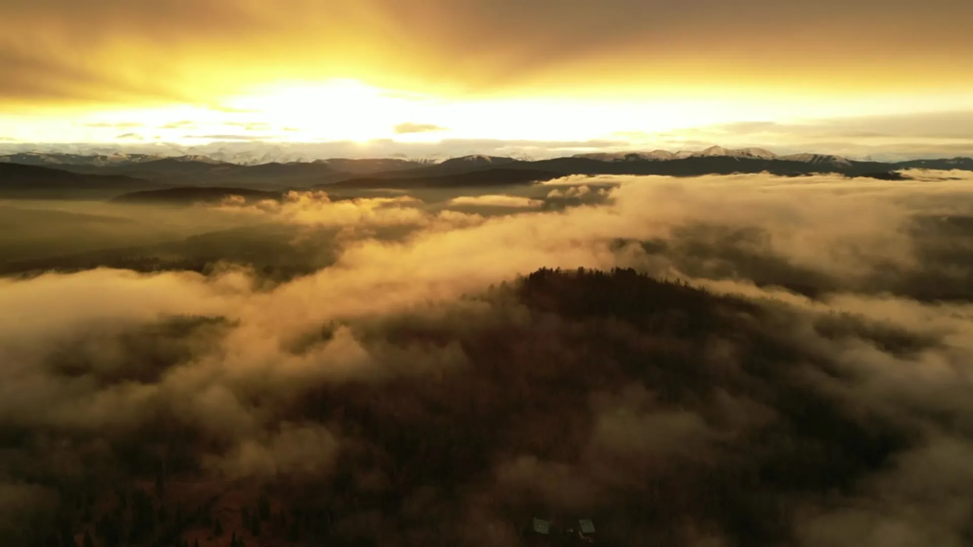
What gets shot in Strathcona Park.
- luxury residential
- construction progress
Every subject above is delivered through the same aerial photography and cinematography services, scoped and quoted before the shoot is booked.
What the research actually says.
Advanced certificate
Transport Canada requires a Pilot Certificate for Advanced Operations to fly a remotely piloted aircraft in controlled airspace or near bystanders.
Most of Calgary sits inside the CYYC control zone. An operator without this certificate cannot legally fly the majority of addresses in the city.
Transport Canada, 2025
Up to 90% lower
An Oklahoma pipeline operator reports remediation cost reductions of up to ninety per cent through early leak detection by drone.
Remediation cost scales with how long a problem ran undetected. Detection frequency is the variable, and aerial capture is what makes frequency affordable.
Reported by Power Engineering, 2025
Up to 75% less time
McKinsey & Company reports that drones can cut surveying time by up to three quarters against traditional ground methods — a three-day site survey completed inside one.
On a consulting engagement billed by the day, survey duration is not a line item. It is the schedule.
Reported by McKinsey & Company, cited by Datumate, 2025
Strathcona Park and what surrounds it.
- Aerial photography in Discovery Ridge4 km · Controlled — between CYYC and CYBW
- Aerial photography in Patterson1 km · CYYC control zone edge
- Aerial photography in Coach Hill1 km · CYYC control zone edge
- Aerial photography in Signal Hill2 km · Controlled — between CYYC and CYBW
- Aerial photography in Altadore5 km · CYYC control zone edge
How a Strathcona Park shoot runs.
- 01Scope and quote. Most Strathcona Park work is luxury residential or construction progress, and the shot list follows the subject. Mobilisation is stated separately from the fee.
- 02Airspace. Strathcona Park sits under Calgary International Airport (CYYC), 13 km away. Authorisation is filed with NAV CANADA and the date is confirmed once it is in hand.
- 03Weather window. Chinook belt at the valley rim: west wind runs over the terrace and drops toward Edworthy Park, and the ravine cuts channel gusts locally. Air along the rim is generally livelier than in the sheltered crescents. The ravine sets the palette — full canopy through summer, a fast colour turn in autumn, and bare branches that open sightlines toward the valley for winter frames. Evening light reaches the terrace late and warm.
- 04Shoot day. About 15 minutes from the Calgary base. Launch from the subject property with the owner's permission; city of Calgary parks bylaws restrict drone takeoff and landing in parks, ravines and along pathways, so Strathcona Park flights launch from private property with the client's consent.
- 05Delivery. Edited files delivered digitally — no attendance required at any stage, which is how out-of-province owners of Strathcona Park property are served.
Strathcona Park questions, answered.
Does a Strathcona Park shoot need airspace authorisation before booking?
Sometimes — it depends on the exact address. The community sits about 13 km from Calgary International, near the charted CYYC control-zone boundary, so it is planned as controlled airspace until NAV Drone shows otherwise for the specific site. Where authorisation is required, it is filed before the date is confirmed.
Can aerial photography show how quiet a Strathcona Park address actually is?
It can show the reason: distance and the ravine. An elevated frame places the address, the wooded Strathcona Park Ravine and the arterial in one image, so the buffer between home and traffic is visible rather than asserted. That is the community's case, made in a single photograph.
What is the best season to photograph the ravine setting?
Two windows work. Full summer canopy shows the green corridor at its strongest, while late autumn — after leaf-drop — opens sightlines through the ravine toward Edworthy Park and the valley. Winter snow reads cleanly too; the choice depends on whether the listing sells enclosure or outlook.
Strathcona Park is 4 km from Discovery Ridge.
Mobilisation is quoted from the Calgary base, so a shoot in Strathcona Park and one 4 km away in Discovery Ridge are priced differently even when the subject is identical.
Nearby
Coverage
Airspace information last verified . Rules change — every flight is re-checked before it happens.