
Drone photography in The Cove, Alberta
Alberta street suffixes are a map key — a Bay or a Point is a closed street — and The Cove is written almost entirely in them: Cove Bay, Cove Point and Rocky Ridge Bay all end at a turning circle instead of connecting through. The quiet that cul-de-sacs sell is invisible from inside one — a ground photograph of a turning circle is pavement, and it cannot show the pattern that creates the quiet or how close the water sits behind it.
Does Fly4MEdia fly drones in The Cove?
Yes. Fly4MEdia flies drone photography and cinematography in The Cove, Alberta. The airspace is CYYC control zone outer edge. Flights are conducted under an Advanced RPAS certificate with airspace authorisation filed before the shoot is confirmed. Typical mobilisation from the Calgary base is 25 minutes.
The Cove at a glance.
| Base of operations | Calgary, Alberta |
|---|---|
| Drive time from base | 25 minutes |
| Airspace | CYYC control zone outer edge |
| Nearest aerodrome | Calgary International Airport (CYYC) |
| Authorisation required | Yes — filed before booking is confirmed |
| Flight status | Flown with airspace authorisation |
| Certification | Transport Canada RPAS — Advanced Operations |
| Response | Reply within one business day |
| Airspace last verified | 2026-09-01 |
Flying The Cove: the ground truth.
Alberta street suffixes are a map key — a Bay or a Point is a closed street — and The Cove is written almost entirely in them: Cove Bay, Cove Point and Rocky Ridge Bay all end at a turning circle instead of connecting through. The quiet that cul-de-sacs sell is invisible from inside one — a ground photograph of a turning circle is pavement, and it cannot show the pattern that creates the quiet or how close the water sits behind it.
An orbit above the turning circle reads the whole pattern at once — the closed street, the surrounding network, the Chestermere Regional Pathway and the lake — and hands the listing its setting in one frame, delivered in the standard turnaround.
Airspace. The Cove sits in the same airspace corridor as Chestermere, about 1 km away, where flights are planned as controlled airspace. Work here is conducted under an Advanced RPAS certificate, with a NAV CANADA RPAS authorisation obtained wherever the specific site requires one. Every flight is preceded by a NAV Drone check of the specific site and altitude. This is a corridor-level assessment; the specific address is confirmed against NAV Drone before every flight.
Terrain. Flat lakeshore prairie subdivided into short closed streets that back toward the water, with the pathway system and the boat launch stitching the shoreline together.
Wind. Chinook belt on an open shore. Housing this low breaks no wind, and the water off The Cove Boat Launch shows direction and strength before any instrument does.
Light. Open water makes this neighbourhood's case, so ice-off to freeze-up is the season that sells it. The boat launch is busiest in high summer, which is also when golden-hour water carries the most colour.
On the ground. The Cove Boat Launch, the Chestermere Regional Pathway and the city's parks fall under City of Chestermere rules for takeoff and landing, so launches are staged from private property with the client's consent. About 25 minutes from the Calgary base — an easy same-day window. West Creek and East Chestermere sit within the same mobilisation.
From the reel
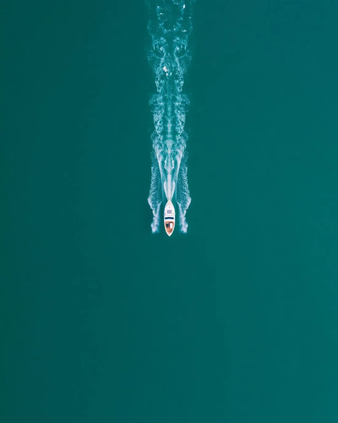
What gets shot in The Cove.
- lakefront
- luxury residential
Every subject above is delivered through the same aerial photography and cinematography services, scoped and quoted before the shoot is booked.
What the research actually says.
Advanced certificate
Transport Canada requires a Pilot Certificate for Advanced Operations to fly a remotely piloted aircraft in controlled airspace or near bystanders.
Most of Calgary sits inside the CYYC control zone. An operator without this certificate cannot legally fly the majority of addresses in the city.
Transport Canada, 2025
Industry standard
The National Association of Realtors maintains dedicated guidance on commercial drone use in listing marketing, including the certification and airspace rules an operator must meet.
Aerial media is an established part of listing marketing with real compliance requirements. The question is whether your operator meets them, not whether to use it.
403% more enquiries
Listings that include video have been reported to receive several times the enquiry volume of listings without it.
Enquiry volume is the top of the funnel. A listing that starts more conversations closes from a larger pool.
Reported by RubyHome, real estate photography research roundup, 2024
The Cove and what surrounds it.
- Aerial photography in Chestermere1 km · CYYC control zone outer edge
- Aerial photography in West Creek2 km · CYYC control zone outer edge
- Aerial photography in East Chestermere1 km · CYYC control zone outer edge
- Aerial photography in Lakeside Greens1 km · CYYC control zone outer edge
- Aerial photography in Chelsea2 km · CYYC control zone outer edge
How a The Cove shoot runs.
- 01Scope and quote. Most The Cove work is lakefront or luxury residential, and the shot list follows the subject. Mobilisation is stated separately from the fee.
- 02Airspace. The Cove sits under Calgary International Airport (CYYC), 17 km away. Authorisation is filed with NAV CANADA and the date is confirmed once it is in hand.
- 03Weather window. Chinook belt on an open shore. Housing this low breaks no wind, and the water off The Cove Boat Launch shows direction and strength before any instrument does. Open water makes this neighbourhood's case, so ice-off to freeze-up is the season that sells it. The boat launch is busiest in high summer, which is also when golden-hour water carries the most colour.
- 04Shoot day. About 25 minutes from the Calgary base. Launch from the subject property with the owner's permission; the Cove Boat Launch, the Chestermere Regional Pathway and the city's parks fall under City of Chestermere rules for takeoff and landing, so launches are staged from private property with the client's consent.
- 05Delivery. Edited files delivered digitally — no attendance required at any stage, which is how out-of-province owners of The Cove property are served.
The Cove questions, answered.
Are drones allowed to fly in The Cove?
Yes, under controlled-airspace planning. The Cove sits on the outer edge of the Calgary International control zone, about 17 km from the airport. Fly4MEdia operates here under an Advanced RPAS certificate, obtains NAV CANADA authorisation where the specific site requires it, and confirms each address in NAV Drone before flying.
What can an aerial show about a cul-de-sac property that ground photography cannot?
The pattern. Streets like Cove Bay and Cove Point end at turning circles, and the quiet they sell only appears when the whole layout is visible — the closed street, the neighbours, the pathway and the lake behind. One orbit at altitude reads all of it in a single frame.
Can the boat launch feature in a listing shoot?
Yes. The Cove Boat Launch is the neighbourhood's direct line to the water, and an elevated frame can hold a property and the launch in one composition. For buyers moving here for the lake, that distance-to-water shot usually works harder than any interior photograph.
The Cove is 1 km from Chestermere.
Because mobilisation is quoted from the Calgary base, The Cove and Chestermere, 1 km away, carry different quotes for an identical subject.
Nearby
Coverage
Airspace information last verified . Rules change — every flight is re-checked before it happens.