
Drone photography in Acadia, Alberta
From altitude Acadia reads as an established grid: long, low rooflines on wide lots running in straight lines off Acadia Drive SE and Acadia Boulevard SE, with mature canopy closing over the side streets between them. None of that survives a ground-level photograph — from the street, an Acadia bungalow reads like any bungalow, and the lot width, canopy and spacing that set the community apart are exactly what the camera cannot hold.
Does Fly4MEdia fly drones in Acadia?
Yes. Fly4MEdia flies drone photography and cinematography in Acadia, Alberta. The airspace is Class G uncontrolled. Authorisation is not normally required in this airspace. Typical mobilisation from the Calgary base is 20 minutes.
Acadia at a glance.
| Base of operations | Calgary, Alberta |
|---|---|
| Drive time from base | 20 minutes |
| Airspace | Class G uncontrolled |
| Nearest aerodrome | Kirkby Field (Indus) |
| Authorisation required | No |
| Flight status | Flown routinely |
| Certification | Transport Canada RPAS — Advanced Operations |
| Response | Reply within one business day |
| Airspace last verified | 2026-09-01 |
Flying Acadia: the ground truth.
From altitude Acadia reads as an established grid: long, low rooflines on wide lots running in straight lines off Acadia Drive SE and Acadia Boulevard SE, with mature canopy closing over the side streets between them. None of that survives a ground-level photograph — from the street, an Acadia bungalow reads like any bungalow, and the lot width, canopy and spacing that set the community apart are exactly what the camera cannot hold.
A low-altitude orbit above the property line puts the full lot, the canopy and the neighbouring spacing into one frame, flown from a private-property launch and delivered in the standard turnaround.
Airspace. Acadia sits in uncontrolled Class G airspace, clear of the charted Calgary-area control zones and about 16 km from Kirkby Field (Indus). Authorisation is not normally required here. Flight plans here also keep clear of Rockyview General Hospital heliport, operating about 2 km away. Every flight is preceded by a NAV Drone check of the specific site and altitude. This is a corridor-level assessment; the specific address is confirmed against NAV Drone before every flight.
Terrain. Flat, established tableland in the inner southeast — elevation change is measured in single metres, so the aerial frame is about lot pattern and canopy rather than relief.
Wind. Chinook belt, with open tableland offering no shelter — a west-wind day is a gusty day at altitude, so the flight window is chosen against gust spread rather than the daily average.
Light. The mature canopy sets the look: full leaf flatters residential frames through summer, while the bare months open sightlines to rooflines and lot pattern. Golden hour swings from late afternoon in winter to mid-evening in June.
On the ground. City of Calgary parks bylaws restrict drone takeoff and landing in municipal parks and on pathways, so Acadia launches are staged from private property with the client's consent. About 20 minutes from the base. Same-day scheduling is realistic, and an Acadia booking pairs naturally with Willow Park, Lake Bonavista or Fairview in a single trip.
From the reel
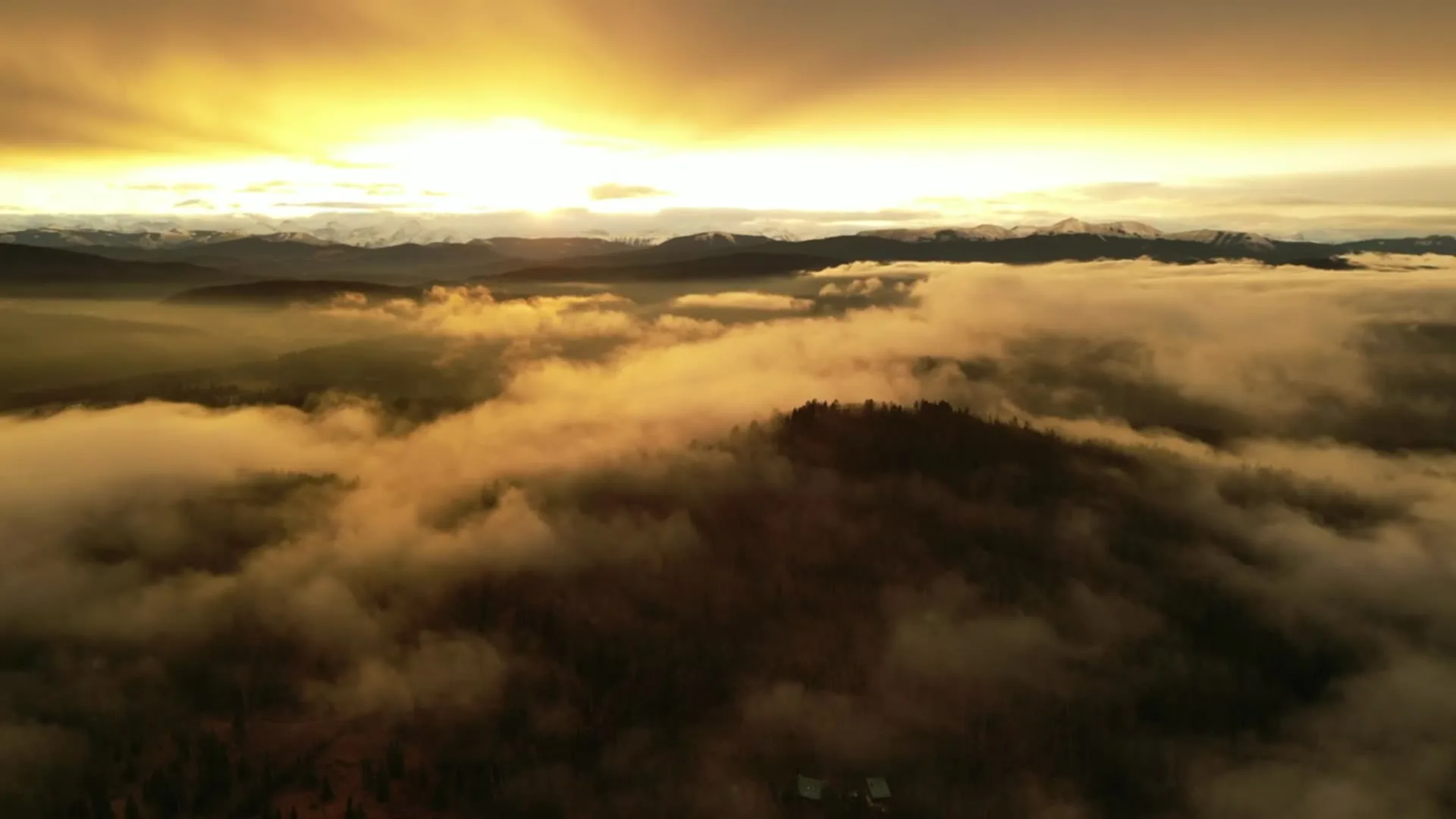
What gets shot in Acadia.
- luxury residential
- commercial retail
- municipal infrastructure
Every subject above is delivered through the same aerial photography and cinematography services, scoped and quoted before the shoot is booked.
What the research actually says.
30% more
McKinsey research cited across the inspection sector finds that organisations relying on manual inspection spend materially more on maintenance and safety than those using drone-based assessment.
For a portfolio of assets, the inspection method is a recurring cost line, not a one-off purchase. The differential compounds annually.
Reported by McKinsey & Company, cited by Averroes, 2025
Industry standard
The National Association of Realtors maintains dedicated guidance on commercial drone use in listing marketing, including the certification and airspace rules an operator must meet.
Aerial media is an established part of listing marketing with real compliance requirements. The question is whether your operator meets them, not whether to use it.
30–40% less inventory
Real-time integrity data from aerial inspection programmes is reported to let operators reduce spare-parts inventory by thirty to forty per cent.
Better condition data does not just reduce inspection cost. It releases working capital that was insuring against not knowing.
Reported by Power Engineering, 2025
Acadia and what surrounds it.
- Aerial photography in Willow Park2 km · Class G uncontrolled
- Aerial photography in Lake Bonavista2 km · Class G uncontrolled
- Aerial photography in Fairview1 km · Class C control zone (CYYC)
- Aerial photography in Albert Park8 km · CYYC control zone edge
- Aerial photography in Dover10 km · CYYC control zone edge
How an Acadia shoot runs.
- 01Scope and quote. Most Acadia work is luxury residential or commercial retail, and the shot list follows the subject. Mobilisation is stated separately from the fee.
- 02Airspace. Checked against NAV Drone from the address, not the postcode. Acadia is class g uncontrolled, so authorisation is not normally required — but Kirkby Field (Indus) is 16 km away and its circuit is plotted regardless.
- 03Weather window. Chinook belt, with open tableland offering no shelter — a west-wind day is a gusty day at altitude, so the flight window is chosen against gust spread rather than the daily average. The mature canopy sets the look: full leaf flatters residential frames through summer, while the bare months open sightlines to rooflines and lot pattern. Golden hour swings from late afternoon in winter to mid-evening in June.
- 04Shoot day. About 20 minutes from the Calgary base. Launch from the subject property with the owner's permission; city of Calgary parks bylaws restrict drone takeoff and landing in municipal parks and on pathways, so Acadia launches are staged from private property with the client's consent.
- 05Delivery. Edited files delivered digitally — no attendance required at any stage, which is how out-of-province owners of Acadia property are served.
Acadia questions, answered.
Do I need airspace approval for a drone shoot in Acadia?
Normally, no. Acadia lies in uncontrolled Class G airspace outside the charted Calgary-area control zones, about 16 km from Kirkby Field at Indus. The Rockyview General Hospital heliport operates about 2 km away, so flight plans keep clear of its approaches, and the specific site and altitude are confirmed against NAV Drone before every flight.
What does aerial photography add for an established community like Acadia?
Lot width and canopy. Acadia's value sits in things a ground camera cannot hold in one frame — the spacing between homes, the mature trees, and how close a property sits to the Acadia Recreation Complex or Southland Leisure Centre. A single elevated frame carries all three.
Acadia is 2 km from Willow Park.
Because mobilisation is quoted from the Calgary base, Acadia and Willow Park, 2 km away, carry different quotes for an identical subject.
Nearby
Coverage
Airspace information last verified . Rules change — every flight is re-checked before it happens.