
Drone photography in Albert Park, Alberta
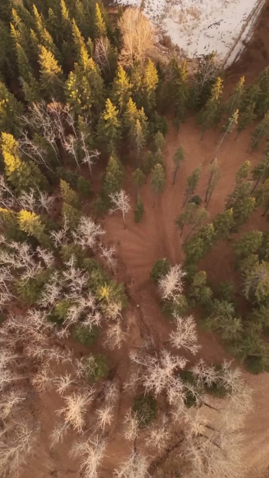
Albert Park holds some of the only true high ground in the inner southeast — the community looks west over the flats, with the Calgary Stampede Grounds in the middle distance and the city skyline behind them. A ground-level photographer at the top of the rise gets a street scene; the westward drop and the skyline behind it — often the property's chief argument — never make the frame.
Does Fly4MEdia fly drones in Albert Park?
Yes. Fly4MEdia flies drone photography and cinematography in Albert Park, Alberta. The airspace is CYYC control zone edge. An Advanced RPAS certificate covers the flight, with airspace authorisation in place before the booking is confirmed. Typical mobilisation from the Calgary base is 15 minutes.
Albert Park at a glance.
| Base of operations | Calgary, Alberta |
|---|---|
| Drive time from base | 15 minutes |
| Airspace | CYYC control zone edge |
| Nearest aerodrome | Calgary International Airport (CYYC) |
| Authorisation required | Yes — filed before booking is confirmed |
| Flight status | Flown with airspace authorisation |
| Certification | Transport Canada RPAS — Advanced Operations |
| Response | Reply within one business day |
| Airspace last verified | 2026-09-01 |
Flying Albert Park: the ground truth.
Albert Park holds some of the only true high ground in the inner southeast — the community looks west over the flats, with the Calgary Stampede Grounds in the middle distance and the city skyline behind them. A ground-level photographer at the top of the rise gets a street scene; the westward drop and the skyline behind it — often the property's chief argument — never make the frame.
A westward elevation hold over the property line stacks the rise, the flats and the skyline into one image, with the address checked against the CYYC boundary in NAV Drone and any required authorisation filed before the date is confirmed, delivered in the standard turnaround.
Airspace. Albert Park is about 10 km from Calgary International, near the CYYC control zone's charted boundary; a single address can fall either side of the line. The default plan treats it as controlled airspace until NAV Drone confirms otherwise, with authorisation filed before booking wherever it is required. The specific site and altitude are confirmed against NAV Drone before every flight. This is a corridor-level assessment; the specific address is confirmed against NAV Drone before every flight.
Terrain. High ground on the east side of the inner city, falling away westward toward the flats — one of the few southeast frames with genuine relief and a skyline horizon.
Wind. Chinook-belt meteorology: west winds arrive in surges through winter, and the exposed high ground takes them without shelter, so calm-window planning matters more here than the forecast average.
Light. The westward outlook means the community's best light is the last of the day, when low sun rakes across the rise; late-summer wildfire smoke is the main threat to a clean skyline horizon.
On the ground. Drone takeoff and landing in City of Calgary parks and pathway corridors is restricted under municipal bylaws; launches here stage from private property with the client's consent. About 15 minutes from the base, so the drive is trivial — the NAV Drone boundary check at booking sets the lead time where authorisation is required. Pairs cleanly with Dover or Forest Lawn shoots on the same trip.
From the reel
What gets shot in Albert Park.
- luxury residential
- commercial retail
- municipal infrastructure
Every subject above is delivered through the same aerial photography and cinematography services, scoped and quoted before the shoot is booked.
What the research actually says.
30–40% less inventory
Real-time integrity data from aerial inspection programmes is reported to let operators reduce spare-parts inventory by thirty to forty per cent.
Better condition data does not just reduce inspection cost. It releases working capital that was insuring against not knowing.
Reported by Power Engineering, 2025
8 weeks, not 8 months
During post-hurricane restoration in Puerto Rico a drone team pulled 72,000 feet of conductor rope in eight weeks — work previously estimated at six to eight months.
In restoration and outage work the schedule is the cost. Aerial methods change the order of magnitude, not the margin.
Reported by Power Engineering, 2025
Up to 90% lower
An Oklahoma pipeline operator reports remediation cost reductions of up to ninety per cent through early leak detection by drone.
Remediation cost scales with how long a problem ran undetected. Detection frequency is the variable, and aerial capture is what makes frequency affordable.
Reported by Power Engineering, 2025
Albert Park and what surrounds it.
- Aerial photography in Forest Lawn1 km · CYYC control zone edge
- Aerial photography in Dover2 km · CYYC control zone edge
- Aerial photography in Ramsay4 km · Class C control zone (CYYC)
- Aerial photography in Inglewood2 km · Class C control zone (CYYC)
- Aerial photography in Acadia8 km · Class G uncontrolled
How an Albert Park shoot runs.
- 01Scope and quote. Most Albert Park work is luxury residential or commercial retail, and the shot list follows the subject. Mobilisation is stated separately from the fee.
- 02Airspace. Albert Park sits under Calgary International Airport (CYYC), 10 km away. Authorisation is filed with NAV CANADA and the date is confirmed once it is in hand.
- 03Weather window. Chinook-belt meteorology: west winds arrive in surges through winter, and the exposed high ground takes them without shelter, so calm-window planning matters more here than the forecast average. The westward outlook means the community's best light is the last of the day, when low sun rakes across the rise; late-summer wildfire smoke is the main threat to a clean skyline horizon.
- 04Shoot day. About 15 minutes from the Calgary base. Launch from the subject property with the owner's permission; drone takeoff and landing in City of Calgary parks and pathway corridors is restricted under municipal bylaws; launches here stage from private property with the client's consent.
- 05Delivery. Edited files delivered digitally — no attendance required at any stage, which is how out-of-province owners of Albert Park property are served.
Albert Park questions, answered.
Can a drone legally fly in Albert Park this close to the airport?
Yes. Albert Park sits about 10 km from Calgary International, near the charted edge of the CYYC control zone — close enough that which side of the line an address falls on decides the paperwork. Each site is planned as controlled airspace until NAV Drone shows otherwise, with any required authorisation filed before the date is booked.
Why is Albert Park suited to aerial photography?
Elevation. The community holds high ground that looks west over the inner city — a rare outlook for the southeast. That westward drop, and the skyline behind it, cannot be composed from a driveway. From altitude the rise, the view and the property's place on it read in a single frame.
How far ahead should an Albert Park shoot be booked?
Far enough to cover the paperwork if the address needs it. The drive from the base is about 15 minutes, so distance is not the constraint — the boundary check in NAV Drone is what decides lead time. Where authorisation is required it is filed at booking, and the date is confirmed once it is in hand.
Albert Park is 1 km from Forest Lawn.
Every quote starts at the Calgary base, which is why identical subjects in Albert Park and Forest Lawn — 1 km apart — price differently.
Nearby
Coverage
Airspace information last verified . Rules change — every flight is re-checked before it happens.