
Drone photography in Willow Park, Alberta
The streets of Willow Park were drawn around the golf course, not the other way round — from the air, Willingdon Boulevard SE and Woburn Road SE trace the fairway edges of Willow Park Golf Course, and the community reads as a course with a neighbourhood threaded through it. The premium lots back onto those fairways, and from the street they look like every other frontage on the block — the thing the buyer is paying for sits entirely behind the house.
Does Fly4MEdia fly drones in Willow Park?
Yes. Fly4MEdia flies drone photography and cinematography in Willow Park, Alberta. The airspace is Class G uncontrolled. Authorisation is not normally required in this airspace. Typical mobilisation from the Calgary base is 20 minutes.
Willow Park at a glance.
| Base of operations | Calgary, Alberta |
|---|---|
| Drive time from base | 20 minutes |
| Airspace | Class G uncontrolled |
| Nearest aerodrome | Kirkby Field (Indus) |
| Authorisation required | No |
| Flight status | Flown routinely |
| Certification | Transport Canada RPAS — Advanced Operations |
| Response | Reply within one business day |
| Airspace last verified | 2026-09-01 |
Flying Willow Park: the ground truth.
The streets of Willow Park were drawn around the golf course, not the other way round — from the air, Willingdon Boulevard SE and Woburn Road SE trace the fairway edges of Willow Park Golf Course, and the community reads as a course with a neighbourhood threaded through it. The premium lots back onto those fairways, and from the street they look like every other frontage on the block — the thing the buyer is paying for sits entirely behind the house.
A rising reveal from the back of the lot lifts the fairway and the mature canopy into the frame behind the roofline, delivered in the standard turnaround.
Airspace. Willow Park sits in uncontrolled Class G airspace, clear of the charted Calgary-area control zones and about 14 km from Kirkby Field (Indus). Authorisation is not normally required here. Flight plans here also keep clear of Rockyview General Hospital heliport, operating about 4 km away. The specific site and altitude are confirmed against NAV Drone before every flight. This is a corridor-level assessment; the specific address is confirmed against NAV Drone before every flight.
Terrain. Flat, fully treed ground where decades of canopy and the fairways of Willow Park Golf Course supply the relief — from altitude the course reads as a green interior the community was drawn around.
Wind. Chinook-belt west wind, taken with a caveat: a mature canopy filters what you feel at ground level, so a street that seems sheltered can still be gusting at flight altitude. The forecast, not the front yard, sets the call.
Light. This is a canopy community, and its aerial identity follows the leaves — from green-up through early fall the streets read as forest with rooflines in it, while the golf course holds its colour longest. Bare-tree winter frames trade softness for structure, showing lot lines the summer canopy hides.
On the ground. Calgary's parks bylaws do not allow drones to take off or land in city parks or on pathways, so Willow Park flights launch from private property — a client's yard or parking area — with the owner's consent. About 20 minutes from the Calgary base — among the shortest runs in the southeast rotation. Same-day is realistic, and Acadia, Fairview or Lake Bonavista sit minutes away for a paired booking.
From the reel
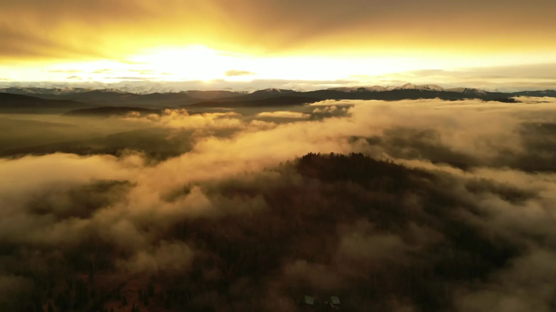
What gets shot in Willow Park.
- luxury residential
- commercial retail
Every subject above is delivered through the same aerial photography and cinematography services, scoped and quoted before the shoot is booked.
What the research actually says.
Advanced certificate
Transport Canada requires a Pilot Certificate for Advanced Operations to fly a remotely piloted aircraft in controlled airspace or near bystanders.
Most of Calgary sits inside the CYYC control zone. An operator without this certificate cannot legally fly the majority of addresses in the city.
Transport Canada, 2025
68% faster
Listings marketed with aerial photography have been reported to sell substantially faster than those using ground photography alone.
On a listing carrying monthly holding costs, the weeks removed from time-on-market are the return on the shoot.
Reported by RubyHome, real estate photography research roundup, 2024
Industry standard
The National Association of Realtors maintains dedicated guidance on commercial drone use in listing marketing, including the certification and airspace rules an operator must meet.
Aerial media is an established part of listing marketing with real compliance requirements. The question is whether your operator meets them, not whether to use it.
Willow Park and what surrounds it.
- Aerial photography in Chaparral8 km · Class G uncontrolled
- Aerial photography in Acadia2 km · Class G uncontrolled
- Aerial photography in Lake Bonavista1 km · Class G uncontrolled
- Aerial photography in Fairview2 km · Class C control zone (CYYC)
- Aerial photography in Albert Park8 km · CYYC control zone edge
How a Willow Park shoot runs.
- 01Scope and quote. Most Willow Park work is luxury residential or commercial retail, and the shot list follows the subject. Mobilisation is stated separately from the fee.
- 02Airspace. Checked against NAV Drone from the address, not the postcode. Willow Park is class g uncontrolled, so authorisation is not normally required — but Kirkby Field (Indus) is 14 km away and its circuit is plotted regardless.
- 03Weather window. Chinook-belt west wind, taken with a caveat: a mature canopy filters what you feel at ground level, so a street that seems sheltered can still be gusting at flight altitude. The forecast, not the front yard, sets the call. This is a canopy community, and its aerial identity follows the leaves — from green-up through early fall the streets read as forest with rooflines in it, while the golf course holds its colour longest. Bare-tree winter frames trade softness for structure, showing lot lines the summer canopy hides.
- 04Shoot day. About 20 minutes from the Calgary base. Launch from the subject property with the owner's permission; calgary's parks bylaws do not allow drones to take off or land in city parks or on pathways, so Willow Park flights launch from private property — a client's yard or parking area — with the owner's consent.
- 05Delivery. Edited files delivered digitally — no attendance required at any stage, which is how out-of-province owners of Willow Park property are served.
Willow Park questions, answered.
Does the Rockyview hospital heliport affect drone photography in Willow Park?
It is planned around, not a barrier. Willow Park lies in uncontrolled Class G airspace about 14 km from Kirkby Field at Indus, so no authorisation is normally required. The Rockyview General heliport sits about 4 km away; flight plans keep clear of its approaches and every site is checked on NAV Drone.
Can you photograph a home that backs onto Willow Park Golf Course?
Yes. The flight launches from the client's own property and orbits the lot from legal altitude, putting the fairway and mature canopy behind the roofline — the view the back fence hides from the street. Taking off from course land itself would need the course's permission, so plans avoid it.
Is aerial coverage useful for commercial space near Southcentre Mall?
Yes — retail leasing here sells on position, and position is an aerial fact. A frame from altitude shows a unit's relationship to Southcentre Mall, the surrounding parking and the arterial traffic that feeds it, which no ground photograph can establish. Routine airspace keeps the booking simple.
Willow Park is 8 km from Chaparral.
Every quote starts at the Calgary base, which is why identical subjects in Willow Park and Chaparral — 8 km apart — price differently.
Nearby
Coverage
Airspace information last verified . Rules change — every flight is re-checked before it happens.