
Drone photography in Forest Lawn, Alberta
17 Avenue SE runs almost due east–west across a flat grid, so in the last hour of the day the sun travels straight down the avenue and front-lights the storefronts of the International Avenue BRZ for blocks at a stretch. A commercial shoot booked for midday throws that away — the avenue flattens, awnings shade the frontages, and the streetscape a business is paying to show reads as any strip in the city.
Does Fly4MEdia fly drones in Forest Lawn?
Yes. Fly4MEdia flies drone photography and cinematography in Forest Lawn, Alberta. The airspace is CYYC control zone edge. An Advanced RPAS certificate covers the flight, with airspace authorisation in place before the booking is confirmed. From the Calgary base, mobilisation is typically 15 minutes.
Forest Lawn at a glance.
| Base of operations | Calgary, Alberta |
|---|---|
| Drive time from base | 15 minutes |
| Airspace | CYYC control zone edge |
| Nearest aerodrome | Calgary International Airport (CYYC) |
| Authorisation required | Yes — filed before booking is confirmed |
| Flight status | Flown with airspace authorisation |
| Certification | Transport Canada RPAS — Advanced Operations |
| Response | Reply within one business day |
| Airspace last verified | 2026-09-01 |
Flying Forest Lawn: the ground truth.
17 Avenue SE runs almost due east–west across a flat grid, so in the last hour of the day the sun travels straight down the avenue and front-lights the storefronts of the International Avenue BRZ for blocks at a stretch. A commercial shoot booked for midday throws that away — the avenue flattens, awnings shade the frontages, and the streetscape a business is paying to show reads as any strip in the city.
The flight is scheduled into that last hour, with an elevated hold looking down the avenue while the light is on the storefronts, delivered in the standard turnaround.
Airspace. Forest Lawn is about 12 km from Calgary International, near the CYYC control zone's charted boundary; a single address can fall either side of the line. The default plan treats it as controlled airspace until NAV Drone confirms otherwise, with authorisation filed before booking wherever it is required. Every flight is preceded by a NAV Drone check of the specific site and altitude. This is a corridor-level assessment; the specific address is confirmed against NAV Drone before every flight.
Terrain. Flat east-side prairie grid — long straight avenues and consistent rooflines, with the open ground of Elliston Park breaking the pattern at the eastern edge.
Wind. Chinook belt, and with no valley or ridge on the east-side grid to break it, the west wind arrives at full strength. The gust spread, not the average speed, is the go or no-go number.
Light. The grid is flat and largely unshaded, so the light window runs the season's full length — short winter afternoons, long June evenings, and late-summer wildfire smoke as the main threat to contrast.
On the ground. City of Calgary bylaws restrict drone takeoff and landing in municipal parks and on pathways, so launches are staged from private property with the client's consent. About 15 minutes from the base. Same-day work is realistic when weather and authorisation align, and one trip pairs naturally with Albert Park, Dover or Penbrooke Meadows.
From the reel
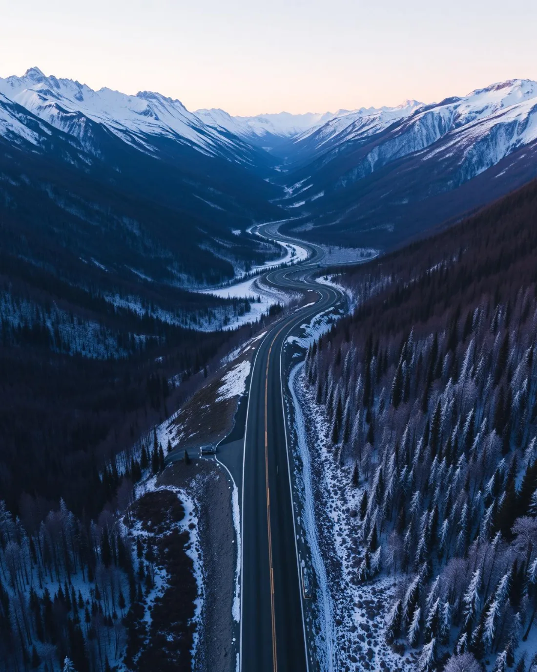
What gets shot in Forest Lawn.
- commercial retail
- municipal infrastructure
- construction progress
Every subject above is delivered through the same aerial photography and cinematography services, scoped and quoted before the shoot is booked.
What the research actually says.
91% less analysis time
Colonial Pipeline reports its drone analytics programme reduced inspection analysis time by 91%, prevented fourteen significant incidents annually and saved $4.2 million in emergency response costs.
Capture is the cheap half. The expensive half is turning imagery into a decision, and that is where the reduction lands.
Reported by Power Engineering, 2025
30% more
McKinsey research cited across the inspection sector finds that organisations relying on manual inspection spend materially more on maintenance and safety than those using drone-based assessment.
For a portfolio of assets, the inspection method is a recurring cost line, not a one-off purchase. The differential compounds annually.
Reported by McKinsey & Company, cited by Averroes, 2025
Advanced certificate
Transport Canada requires a Pilot Certificate for Advanced Operations to fly a remotely piloted aircraft in controlled airspace or near bystanders.
Most of Calgary sits inside the CYYC control zone. An operator without this certificate cannot legally fly the majority of addresses in the city.
Transport Canada, 2025
Forest Lawn and what surrounds it.
- Aerial photography in Albert Park1 km · CYYC control zone edge
- Aerial photography in Dover1 km · CYYC control zone edge
- Aerial photography in Erin Woods2 km · CYYC control zone edge
- Aerial photography in Penbrooke Meadows1 km · Class C control zone (CYYC)
- Aerial photography in Acadia8 km · Class G uncontrolled
How a Forest Lawn shoot runs.
- 01Scope and quote. Most Forest Lawn work is commercial retail or municipal infrastructure, and the shot list follows the subject. Mobilisation is stated separately from the fee.
- 02Airspace. Forest Lawn sits under Calgary International Airport (CYYC), 12 km away. Authorisation is filed with NAV CANADA and the date is confirmed once it is in hand.
- 03Weather window. Chinook belt, and with no valley or ridge on the east-side grid to break it, the west wind arrives at full strength. The gust spread, not the average speed, is the go or no-go number. The grid is flat and largely unshaded, so the light window runs the season's full length — short winter afternoons, long June evenings, and late-summer wildfire smoke as the main threat to contrast.
- 04Shoot day. About 15 minutes from the Calgary base. Launch from the subject property with the owner's permission; city of Calgary bylaws restrict drone takeoff and landing in municipal parks and on pathways, so launches are staged from private property with the client's consent.
- 05Delivery. Edited files delivered digitally — no attendance required at any stage, which is how out-of-province owners of Forest Lawn property are served.
Forest Lawn questions, answered.
Does a drone shoot in Forest Lawn need NAV CANADA authorisation?
Often, yes. Forest Lawn sits about 12 km from Calgary International, near the charted edge of the CYYC control zone, so which side of the line an address falls on decides the paperwork. Fly4MEdia plans it as controlled airspace until NAV Drone shows otherwise, and files any authorisation before booking the date.
When is the best light for aerial photography along International Avenue?
The last hour of the day. 17 Avenue SE runs east–west, so the low evening sun travels straight down its length and front-lights the storefronts of the International Avenue BRZ. Midday light flattens the streetscape, so a golden-hour flight is scheduled whenever the forecast allows it.
Can Forest Lawn be paired with nearby communities in one booking?
Yes. At about 15 minutes from the base, Forest Lawn pairs naturally with Albert Park, Dover, Erin Woods or Penbrooke Meadows. One mobilisation can cover a listing and a commercial property across two communities in a single light window, which is the efficient way to book this corridor.
Forest Lawn is 1 km from Albert Park.
Because mobilisation is quoted from the Calgary base, Forest Lawn and Albert Park, 1 km away, carry different quotes for an identical subject.
Nearby
Coverage
Airspace information last verified . Rules change — every flight is re-checked before it happens.