
Drone photography in Royal Oak, Alberta
From altitude Royal Oak reads as a set of nested loops — Royal Oak Drive NW rings the community and feeds every court inward — with the retail planes of Beacon Hill Centre and Royal Oak Centre pinned at its outer edges. On the ground every curve looks the same, which is the standing problem with loop-and-court suburbs: nothing in a street-level frame says where in the community the property actually sits.
Does Fly4MEdia fly drones in Royal Oak?
Yes. Fly4MEdia flies drone photography and cinematography in Royal Oak, Alberta. The airspace is Mixed — CYBW control zone boundary. Work here flies under an Advanced RPAS certificate, and the airspace authorisation is filed before any shoot date is confirmed. Typical mobilisation from the Calgary base is 25 minutes.
Royal Oak at a glance.
| Base of operations | Calgary, Alberta |
|---|---|
| Drive time from base | 25 minutes |
| Airspace | Mixed — CYBW control zone boundary |
| Nearest aerodrome | Springbank Airport (CYBW) |
| Authorisation required | Yes — filed before booking is confirmed |
| Flight status | Flown with airspace authorisation |
| Certification | Transport Canada RPAS — Advanced Operations |
| Response | Reply within one business day |
| Airspace last verified | 2026-09-01 |
Flying Royal Oak: the ground truth.
From altitude Royal Oak reads as a set of nested loops — Royal Oak Drive NW rings the community and feeds every court inward — with the retail planes of Beacon Hill Centre and Royal Oak Centre pinned at its outer edges. On the ground every curve looks the same, which is the standing problem with loop-and-court suburbs: nothing in a street-level frame says where in the community the property actually sits.
A rising reveal that lifts from the front elevation to loop height fixes the address inside its ring and shows the run to the shops, delivered in the standard turnaround.
Airspace. Royal Oak shares its airspace corridor with Bearspaw, about 3 km away, and flights through it are planned as controlled airspace. An Advanced RPAS certificate covers the work, with NAV CANADA RPAS authorisation obtained wherever the specific site requires it. The specific site and altitude are confirmed against NAV Drone before every flight. This is a corridor-level assessment; the specific address is confirmed against NAV Drone before every flight.
Terrain. Rolling upland at the city's north-west edge — gentle rises, stormwater ponds and broad loop streets rather than sharp relief, with the foothills holding the western horizon.
Wind. Squarely in the chinook belt. Open upland with little to break a west wind, so winter shoots are planned around gust spread rather than the daily average.
Light. Open rooflines and pale streets read best under low sun — early morning or the last two hours of light. Nothing stands between the upland and the western horizon, so the golden hour runs its full length.
On the ground. Drone takeoff and landing inside City of Calgary parks — Royal Oak Park among them — is restricted by bylaw, so flights launch from private property with the client's consent. About 25 minutes from the Calgary base. A comfortable same-day booking, and one mobilisation can cover Royal Oak together with Arbour Lake, Tuscany or Rocky Ridge.
From the reel
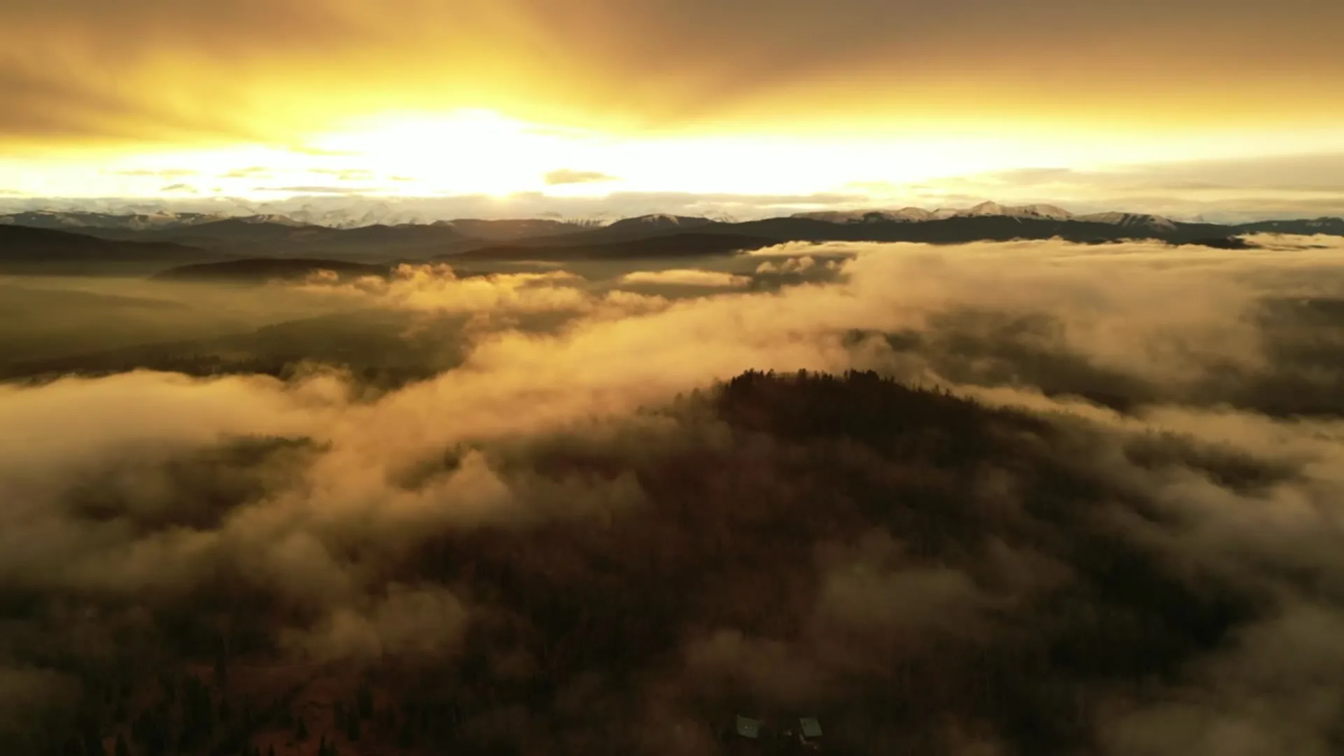
What gets shot in Royal Oak.
- new build subdivision
- luxury residential
- commercial retail
Every subject above is delivered through the same aerial photography and cinematography services, scoped and quoted before the shoot is booked.
What the research actually says.
68% faster
Listings marketed with aerial photography have been reported to sell substantially faster than those using ground photography alone.
On a listing carrying monthly holding costs, the weeks removed from time-on-market are the return on the shoot.
Reported by RubyHome, real estate photography research roundup, 2024
403% more enquiries
Listings that include video have been reported to receive several times the enquiry volume of listings without it.
Enquiry volume is the top of the funnel. A listing that starts more conversations closes from a larger pool.
Reported by RubyHome, real estate photography research roundup, 2024
Industry standard
The National Association of Realtors maintains dedicated guidance on commercial drone use in listing marketing, including the certification and airspace rules an operator must meet.
Aerial media is an established part of listing marketing with real compliance requirements. The question is whether your operator meets them, not whether to use it.
Royal Oak and what surrounds it.
- Aerial photography in Arbour Lake3 km · CYYC control zone edge
- Aerial photography in Tuscany2 km · CYYC control zone edge
- Aerial photography in Rocky Ridge1 km · CYBW control zone boundary
- Aerial photography in Rockland Park1 km · Mixed — CYBW control zone boundary
- Aerial photography in Banff Trail11 km · Class C control zone (CYYC)
How a Royal Oak shoot runs.
- 01Scope and quote. Most Royal Oak work is new build subdivision or luxury residential, and the shot list follows the subject. Mobilisation is stated separately from the fee.
- 02Airspace. Royal Oak sits under Springbank Airport (CYBW), 11 km away. Authorisation is filed with NAV CANADA and the date is confirmed once it is in hand.
- 03Weather window. Squarely in the chinook belt. Open upland with little to break a west wind, so winter shoots are planned around gust spread rather than the daily average. Open rooflines and pale streets read best under low sun — early morning or the last two hours of light. Nothing stands between the upland and the western horizon, so the golden hour runs its full length.
- 04Shoot day. About 25 minutes from the Calgary base. Launch from the subject property with the owner's permission; drone takeoff and landing inside City of Calgary parks — Royal Oak Park among them — is restricted by bylaw, so flights launch from private property with the client's consent.
- 05Delivery. Edited files delivered digitally — no attendance required at any stage, which is how out-of-province owners of Royal Oak property are served.
Royal Oak questions, answered.
Does flying a drone in Royal Oak need NAV CANADA approval?
It depends on the exact address. Royal Oak sits in the corridor near the Springbank control zone boundary, so flights are planned as controlled airspace under an Advanced RPAS certificate, with authorisation obtained wherever the site requires one. NAV Drone settles the question for the specific property before every flight.
Why do aerial photos matter for a loop-street community like Royal Oak?
Because street-level frames all look alike there. From above, the rings of Royal Oak Drive NW give a property a legible position — which loop, which court, how far to Royal Oak Centre or Beacon Hill Centre. That orientation is the first thing a buyer from outside the quadrant wants.
Royal Oak is 3 km from Arbour Lake.
Every quote starts at the Calgary base, which is why identical subjects in Royal Oak and Arbour Lake — 3 km apart — price differently.
Nearby
Coverage
Airspace information last verified . Rules change — every flight is re-checked before it happens.