
Drone photography in Rocky Ridge, Alberta
Twelve Mile Coulee holds the one open water line in Rocky Ridge's frame — a creek thread along the ravine bottom that runs dark against pale grass and marks the community's edge more clearly than any road does. Ground photography cannot use it. From the street the coulee is a gap between fences; the water, the ravine and the edge-of-city position that buyers pay for here simply never appear.
Does Fly4MEdia fly drones in Rocky Ridge?
Yes. Fly4MEdia flies drone photography and cinematography in Rocky Ridge, Alberta. The airspace is CYBW control zone boundary. Flights are conducted under an Advanced RPAS certificate with airspace authorisation filed before the shoot is confirmed. From the Calgary base, mobilisation is typically 25 minutes.
Rocky Ridge at a glance.
| Base of operations | Calgary, Alberta |
|---|---|
| Drive time from base | 25 minutes |
| Airspace | CYBW control zone boundary |
| Nearest aerodrome | Springbank Airport (CYBW) |
| Authorisation required | Yes — filed before booking is confirmed |
| Flight status | Flown with airspace authorisation |
| Certification | Transport Canada RPAS — Advanced Operations |
| Response | Reply within one business day |
| Airspace last verified | 2026-09-01 |
Flying Rocky Ridge: the ground truth.
Twelve Mile Coulee holds the one open water line in Rocky Ridge's frame — a creek thread along the ravine bottom that runs dark against pale grass and marks the community's edge more clearly than any road does. Ground photography cannot use it. From the street the coulee is a gap between fences; the water, the ravine and the edge-of-city position that buyers pay for here simply never appear.
A boundary-line orbit flown from a private launch puts the ravine, the rooflines and the foothill horizon into one frame, delivered in the standard turnaround.
Airspace. Rocky Ridge sits about 11 km from Springbank Airport, near the charted boundary of the CYBW control zone. It is planned as controlled airspace until NAV Drone shows otherwise for the specific site, and where authorisation is required it is filed before the date is booked. The specific site and altitude are confirmed against NAV Drone before every flight. This is a corridor-level assessment; the specific address is confirmed against NAV Drone before every flight.
Terrain. A high bench on the city's north-west shoulder: level streets on top, ground breaking away into the ravine system of Twelve Mile Coulee, and long sightlines west toward the foothills.
Wind. Chinook belt, and exposed for it. The community's high western edge takes the west wind before most of the city, so the gust spread gets checked against the forecast average before a flight is confirmed.
Light. Evening light is the asset — the high ground faces the foothill horizon, so golden hour runs long and clean. Snow lingers on the shaded ravine slopes after the streets above are bare.
On the ground. City of Calgary parks bylaws restrict drone takeoff and landing in municipal parks and on pathways, so launches are staged from private property with the client's consent. About 25 minutes from the Calgary base. Comfortably a same-day booking, and easily paired with Royal Oak, Tuscany or Arbour Lake in a single mobilisation.
From the reel
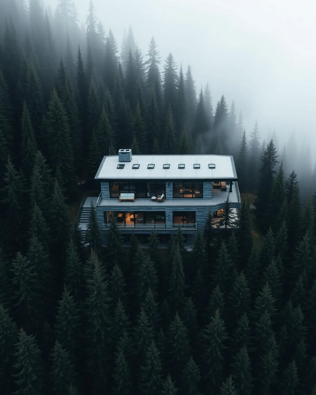
What gets shot in Rocky Ridge.
- luxury residential
- new build subdivision
- commercial retail
Every subject above is delivered through the same aerial photography and cinematography services, scoped and quoted before the shoot is booked.
What the research actually says.
68% faster
Listings marketed with aerial photography have been reported to sell substantially faster than those using ground photography alone.
On a listing carrying monthly holding costs, the weeks removed from time-on-market are the return on the shoot.
Reported by RubyHome, real estate photography research roundup, 2024
40–60% lower
Construction programmes adopting systematic drone survey report reductions of roughly half in surveying cost, alongside faster data collection.
The saving is structural rather than one-off: it applies to every survey cycle across the life of the project.
Reported by Datumate, 2025
Advanced certificate
Transport Canada requires a Pilot Certificate for Advanced Operations to fly a remotely piloted aircraft in controlled airspace or near bystanders.
Most of Calgary sits inside the CYYC control zone. An operator without this certificate cannot legally fly the majority of addresses in the city.
Transport Canada, 2025
Rocky Ridge and what surrounds it.
- Aerial photography in Royal Oak1 km · Mixed — CYBW control zone boundary
- Aerial photography in Tuscany1 km · CYYC control zone edge
- Aerial photography in Arbour Lake2 km · CYYC control zone edge
- Aerial photography in Rockland Park3 km · Mixed — CYBW control zone boundary
- Aerial photography in Banff Trail11 km · Class C control zone (CYYC)
How a Rocky Ridge shoot runs.
- 01Scope and quote. Most Rocky Ridge work is luxury residential or new build subdivision, and the shot list follows the subject. Mobilisation is stated separately from the fee.
- 02Airspace. Rocky Ridge sits under Springbank Airport (CYBW), 11 km away. Authorisation is filed with NAV CANADA and the date is confirmed once it is in hand.
- 03Weather window. Chinook belt, and exposed for it. The community's high western edge takes the west wind before most of the city, so the gust spread gets checked against the forecast average before a flight is confirmed. Evening light is the asset — the high ground faces the foothill horizon, so golden hour runs long and clean. Snow lingers on the shaded ravine slopes after the streets above are bare.
- 04Shoot day. About 25 minutes from the Calgary base. Launch from the subject property with the owner's permission; city of Calgary parks bylaws restrict drone takeoff and landing in municipal parks and on pathways, so launches are staged from private property with the client's consent.
- 05Delivery. Edited files delivered digitally — no attendance required at any stage, which is how out-of-province owners of Rocky Ridge property are served.
Rocky Ridge questions, answered.
Which airport controls the airspace over Rocky Ridge?
Springbank, not Calgary International. Rocky Ridge sits about 11 km from Springbank Airport, near the charted edge of the CYBW control zone. Flights are planned as controlled airspace until NAV Drone shows otherwise for the specific site, and any required authorisation is filed before the date is booked.
Can aerial photos of a Rocky Ridge home include Twelve Mile Coulee?
Usually, yes. The bylaw restriction covers taking off and landing in municipal parks, not photographing them from authorised airspace. Launching from the client's property, an orbit can carry the ravine, the rooflines and the foothill horizon in one frame without touching park ground.
Rocky Ridge is 1 km from Royal Oak.
Every quote starts at the Calgary base, which is why identical subjects in Rocky Ridge and Royal Oak — 1 km apart — price differently.
Nearby
Coverage
Airspace information last verified . Rules change — every flight is re-checked before it happens.