
Drone photography in Brentwood, Alberta
Wind in Brentwood is not one number: on a gusty chinook afternoon the air downwind of Northland Village Mall's big rooftops runs rougher than the air over the residential streets, and the airframe feels the difference before anyone on the ground does. A low orbit over a commercial subject, planned to the same limits as a house shoot, comes back with shaky frames — and the re-fly costs the client the light they originally booked.
Does Fly4MEdia fly drones in Brentwood?
Yes. Fly4MEdia flies drone photography and cinematography in Brentwood, Alberta. The airspace is Class C control zone (CYYC). Work here flies under an Advanced RPAS certificate, and the airspace authorisation is filed before any shoot date is confirmed. From the Calgary base, mobilisation is typically 15 minutes.
Brentwood at a glance.
| Base of operations | Calgary, Alberta |
|---|---|
| Drive time from base | 15 minutes |
| Airspace | Class C control zone (CYYC) |
| Nearest aerodrome | Calgary International Airport (CYYC) |
| Authorisation required | Yes — filed before booking is confirmed |
| Flight status | Flown with airspace authorisation |
| Certification | Transport Canada RPAS — Advanced Operations |
| Response | Reply within one business day |
| Airspace last verified | 2026-09-01 |
Flying Brentwood: the ground truth.
Wind in Brentwood is not one number: on a gusty chinook afternoon the air downwind of Northland Village Mall's big rooftops runs rougher than the air over the residential streets, and the airframe feels the difference before anyone on the ground does. A low orbit over a commercial subject, planned to the same limits as a house shoot, comes back with shaky frames — and the re-fly costs the client the light they originally booked.
Commercial work here is scheduled into calmer morning air where the forecast allows, and the flight plan carries altitude margin over rooftop turbulence — delivered in the standard turnaround.
Airspace. Brentwood lies inside the charted CYYC control zone, about 9 km from Calgary International. Work here flies under an Advanced RPAS certificate, and the NAV CANADA RPAS authorisation is in hand before a shoot date is confirmed. Alberta Children's Hospital heliport operates about 1 km away, and flight plans keep clear of its approaches. Every flight is preceded by a NAV Drone check of the specific site and altitude. This is a corridor-level assessment; the specific address is confirmed against NAV Drone before every flight.
Terrain. Established northwest plateau between Nose Hill Park and the university lands — mostly level residential blocks under mature trees, with open commercial flats around Northland Village Mall.
Wind. Chinook belt. Gusty west flow produces rough, mechanical air behind large buildings, so commercial and residential subjects here fly to different wind limits.
Light. Full summer leaf hides much of the housing from oblique angles, so roof and lot detail photographs best between leaf-fall and green-up. Chinook cycles strip winter snow quickly; a clean white frame here is a narrow target.
On the ground. City of Calgary bylaws restrict drone takeoff and landing in municipal parks and along pathways, so launch sites are private property with the client's consent. About 15 minutes from the Calgary base. Charleswood, Collingwood and Varsity adjoin it, so multiple sites in this pocket are planned into one trip.
From the reel
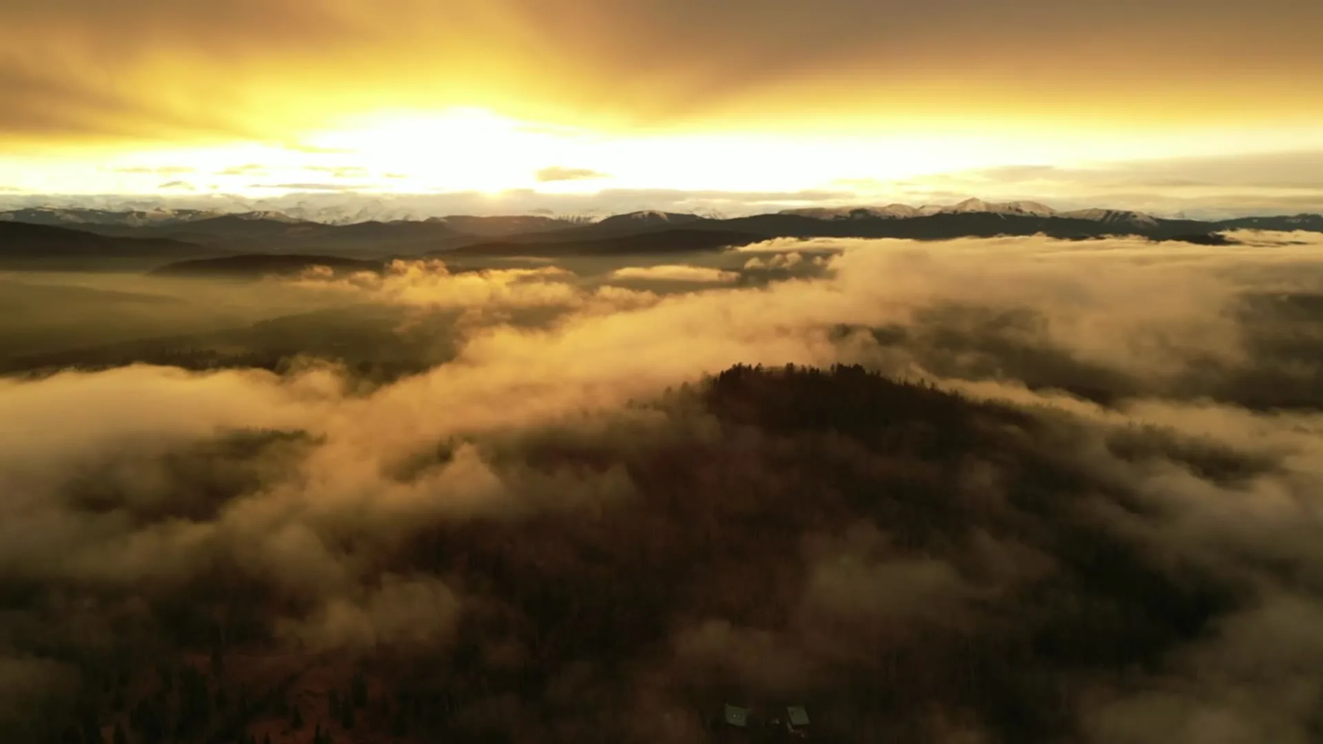
What gets shot in Brentwood.
- luxury residential
- commercial retail
- construction progress
Every subject above is delivered through the same aerial photography and cinematography services, scoped and quoted before the shoot is booked.
What the research actually says.
91% less analysis time
Colonial Pipeline reports its drone analytics programme reduced inspection analysis time by 91%, prevented fourteen significant incidents annually and saved $4.2 million in emergency response costs.
Capture is the cheap half. The expensive half is turning imagery into a decision, and that is where the reduction lands.
Reported by Power Engineering, 2025
USD 9.83 billion
Emergen Research sizes the global drone inspection and monitoring market at nearly ten billion dollars in 2025, growing at a 16.4% compound annual rate.
Aerial capture is a procured category with established vendors and comparable rates, not an experimental line item requiring internal justification.
Emergen Research, 2025
Up to 75% less time
McKinsey & Company reports that drones can cut surveying time by up to three quarters against traditional ground methods — a three-day site survey completed inside one.
On a consulting engagement billed by the day, survey duration is not a line item. It is the schedule.
Reported by McKinsey & Company, cited by Datumate, 2025
Brentwood and what surrounds it.
- Aerial photography in Charleswood1 km · Class C control zone (CYYC)
- Aerial photography in Collingwood2 km · Class C control zone (CYYC)
- Aerial photography in Varsity1 km · Class C control zone (CYYC)
- Aerial photography in Arbour Lake7 km · CYYC control zone edge
- Aerial photography in Banff Trail2 km · Class C control zone (CYYC)
How a Brentwood shoot runs.
- 01Scope and quote. Most Brentwood work is luxury residential or commercial retail, and the shot list follows the subject. Mobilisation is stated separately from the fee.
- 02Airspace. Brentwood sits under Calgary International Airport (CYYC), 9 km away. Authorisation is filed with NAV CANADA and the date is confirmed once it is in hand.
- 03Weather window. Chinook belt. Gusty west flow produces rough, mechanical air behind large buildings, so commercial and residential subjects here fly to different wind limits. Full summer leaf hides much of the housing from oblique angles, so roof and lot detail photographs best between leaf-fall and green-up. Chinook cycles strip winter snow quickly; a clean white frame here is a narrow target.
- 04Shoot day. About 15 minutes from the Calgary base. Launch from the subject property with the owner's permission; city of Calgary bylaws restrict drone takeoff and landing in municipal parks and along pathways, so launch sites are private property with the client's consent.
- 05Delivery. Edited files delivered digitally — no attendance required at any stage, which is how out-of-province owners of Brentwood property are served.
Brentwood questions, answered.
What approvals does a Brentwood drone shoot need?
Brentwood is about 9 km from Calgary International, inside the CYYC Class C control zone, so flights run under an Advanced RPAS certificate with a NAV CANADA authorisation obtained before the shoot is confirmed. Flight plans also keep clear of the Alberta Children's Hospital heliport approaches, and every site is checked against NAV Drone.
Why is wind handled differently for Brentwood's commercial sites?
Large rooftops shed rough, turbulent air downwind on gusty days, so the air over the Northland Village Mall flats behaves differently than the air above a quiet residential street. Commercial orbits here are flown with altitude margin and scheduled into calmer morning windows when a chinook is running.
Which nearby communities pair with a Brentwood booking?
Charleswood, Collingwood and Varsity sit directly around Brentwood, and the base is about 15 minutes away, so one trip can cover several addresses. Because this pocket shares the same control zone and the same hospital heliport consideration, the airspace work for neighbouring sites is planned together before the drive.
Brentwood is 1 km from Charleswood.
Because mobilisation is quoted from the Calgary base, Brentwood and Charleswood, 1 km away, carry different quotes for an identical subject.
Nearby
Coverage
Airspace information last verified . Rules change — every flight is re-checked before it happens.