
Drone photography in Collingwood, Alberta
From above, Collingwood reads nothing like the avenues around it: the streets curve — Collingwood Drive NW, Chelsea Road NW — and wide lots sit under a tree canopy mature enough to hide whole rooflines in summer. That canopy defeats ground photography twice — it hides the house from the street, and it hides the lot's true size from every angle a buyer can reach on foot.
Does Fly4MEdia fly drones in Collingwood?
Yes. Fly4MEdia flies drone photography and cinematography in Collingwood, Alberta. The airspace is Class C control zone (CYYC). An Advanced RPAS certificate covers the flight, with airspace authorisation in place before the booking is confirmed. Typical mobilisation from the Calgary base is 15 minutes.
Collingwood at a glance.
| Base of operations | Calgary, Alberta |
|---|---|
| Drive time from base | 15 minutes |
| Airspace | Class C control zone (CYYC) |
| Nearest aerodrome | Calgary International Airport (CYYC) |
| Authorisation required | Yes — filed before booking is confirmed |
| Flight status | Flown with airspace authorisation |
| Certification | Transport Canada RPAS — Advanced Operations |
| Response | Reply within one business day |
| Airspace last verified | 2026-09-01 |
Flying Collingwood: the ground truth.
From above, Collingwood reads nothing like the avenues around it: the streets curve — Collingwood Drive NW, Chelsea Road NW — and wide lots sit under a tree canopy mature enough to hide whole rooflines in summer. That canopy defeats ground photography twice — it hides the house from the street, and it hides the lot's true size from every angle a buyer can reach on foot.
A pass above the canopy line puts the roof, the lot boundary and the curve of the street into one honest frame, opened with a rising reveal for the wide shot — delivered in the standard turnaround.
Airspace. About 8 km from Calgary International, Collingwood falls inside the CYYC control zone as charted. An Advanced RPAS certificate covers the operation, with the NAV CANADA RPAS authorisation secured before the booking is confirmed. Flight plans here also keep clear of Alberta Children's Hospital heliport, operating about 3 km away. Before any flight, the exact site and altitude are checked against NAV Drone. This is a corridor-level assessment; the specific address is confirmed against NAV Drone before every flight.
Terrain. Gently sloping ground between Confederation Park and the lower flank of Nose Hill Park, laid out in curving mid-century streets under mature tree cover.
Wind. Chinook belt. Above the canopy the airframe flies in the full west wind no matter how calm the street feels below, so the window is read from gusts aloft, not conditions at the door.
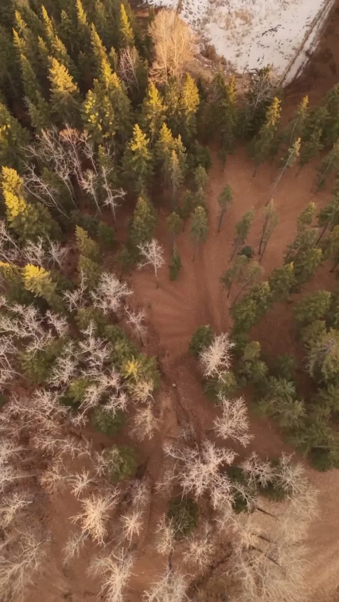
Light. The canopy sets the calendar: full leaf hides rooflines and lot edges, so structural detail photographs best between leaf-fall and green-up, while autumn colour along the curving streets makes the community's strongest wide frame.
On the ground. Confederation Park and other municipal parkland are closed to drone takeoff and landing under City of Calgary bylaws; launches are staged from private property with the owner's permission. About 15 minutes from the Calgary base. Charleswood, Brentwood and Cambrian Heights surround it, so one trip routinely covers several addresses in the inner northwest.
From the reel
What gets shot in Collingwood.
- luxury residential
- construction progress
Every subject above is delivered through the same aerial photography and cinematography services, scoped and quoted before the shoot is booked.
What the research actually says.
USD 9.83 billion
Emergen Research sizes the global drone inspection and monitoring market at nearly ten billion dollars in 2025, growing at a 16.4% compound annual rate.
Aerial capture is a procured category with established vendors and comparable rates, not an experimental line item requiring internal justification.
Emergen Research, 2025
Advanced certificate
Transport Canada requires a Pilot Certificate for Advanced Operations to fly a remotely piloted aircraft in controlled airspace or near bystanders.
Most of Calgary sits inside the CYYC control zone. An operator without this certificate cannot legally fly the majority of addresses in the city.
Transport Canada, 2025
18 days to 4 hours
Marathon Pipe Line cut its response time to potential pipeline issues from eighteen days to four hours using drone inspection, preventing six major incidents in the first year at a reported saving of $8.3 million.
On linear infrastructure the cost is not the inspection. It is the time between a fault existing and anyone knowing about it.
Reported by Power Engineering, 2025
Collingwood and what surrounds it.
- Aerial photography in Charleswood1 km · Class C control zone (CYYC)
- Aerial photography in Brentwood2 km · Class C control zone (CYYC)
- Aerial photography in Cambrian Heights2 km · Class C control zone (CYYC)
- Aerial photography in Arbour Lake7 km · CYYC control zone edge
- Aerial photography in Banff Trail3 km · Class C control zone (CYYC)
How a Collingwood shoot runs.
- 01Scope and quote. Most Collingwood work is luxury residential or construction progress, and the shot list follows the subject. Mobilisation is stated separately from the fee.
- 02Airspace. Collingwood sits under Calgary International Airport (CYYC), 8 km away. Authorisation is filed with NAV CANADA and the date is confirmed once it is in hand.
- 03Weather window. Chinook belt. Above the canopy the airframe flies in the full west wind no matter how calm the street feels below, so the window is read from gusts aloft, not conditions at the door. The canopy sets the calendar: full leaf hides rooflines and lot edges, so structural detail photographs best between leaf-fall and green-up, while autumn colour along the curving streets makes the community's strongest wide frame.
- 04Shoot day. About 15 minutes from the Calgary base. Launch from the subject property with the owner's permission; confederation Park and other municipal parkland are closed to drone takeoff and landing under City of Calgary bylaws; launches are staged from private property with the owner's permission.
- 05Delivery. Edited files delivered digitally — no attendance required at any stage, which is how out-of-province owners of Collingwood property are served.
Collingwood questions, answered.
Is drone photography permitted in Collingwood?
Yes, with the right paperwork. Collingwood sits about 8 km from Calgary International, inside the CYYC Class C control zone, so flights run under an Advanced RPAS certificate with NAV CANADA authorisation obtained before the shoot is confirmed. Plans keep clear of the Alberta Children's Hospital heliport approaches nearby.
When should a Collingwood home be shot from the air?
It depends on what the frame must prove. Roofline, lot size and the curve of the street photograph best between leaf-fall and green-up, when the mature canopy is open. The green wide shot — the one that sells the neighbourhood itself — belongs to full summer leaf and autumn colour.
What does an aerial reveal about a Collingwood lot?
Its actual size and shape. Collingwood's wide, deep lots sit under tree cover that hides them from every angle available on foot, so buyers routinely underestimate what is there. One pass above the canopy line shows the roof, the boundary and the curving street in a single honest frame.
Collingwood is 1 km from Charleswood.
Mobilisation is quoted from the Calgary base, so a shoot in Collingwood and one 1 km away in Charleswood are priced differently even when the subject is identical.
Nearby
Coverage
Airspace information last verified . Rules change — every flight is re-checked before it happens.