
Drone photography in Didsbury, Alberta
Didsbury's horizon is level in every direction, so evening light here runs its full length to true sunset — and it is only in that last low hour that the shallow Rosebud River valley registers as relief at all. Flown at midday, the country around town photographs as a plain and the river line all but disappears; the frames come back flat, with nothing separating one quarter from the next.
Does Fly4MEdia fly drones in Didsbury?
Yes. Fly4MEdia flies drone photography and cinematography in Didsbury, Alberta. The airspace is Class G uncontrolled. Authorisation is not normally required in this airspace. From the Calgary base, mobilisation is typically 1 hours.
Didsbury at a glance.
| Base of operations | Calgary, Alberta |
|---|---|
| Drive time from base | 1 hours |
| Airspace | Class G uncontrolled |
| Nearest aerodrome | Olds-Didsbury aerodrome |
| Authorisation required | No |
| Flight status | Flown routinely |
| Certification | Transport Canada RPAS — Advanced Operations |
| Response | Reply within one business day |
| Airspace last verified | 2026-09-01 |
Flying Didsbury: the ground truth.
Didsbury's horizon is level in every direction, so evening light here runs its full length to true sunset — and it is only in that last low hour that the shallow Rosebud River valley registers as relief at all. Flown at midday, the country around town photographs as a plain and the river line all but disappears; the frames come back flat, with nothing separating one quarter from the next.
A golden-hour hold is flown against the low light, when the Rosebud valley and the roll of the land carry shadow — the set delivered in the standard turnaround.
Airspace. Didsbury sits in uncontrolled Class G airspace, clear of the charted Calgary-area control zones and about 7 km from Olds-Didsbury aerodrome. Authorisation is not normally required here. Every flight is preceded by a NAV Drone check of the specific site and altitude. This is a corridor-level assessment; the specific address is confirmed against NAV Drone before every flight.
Terrain. Gently rolling grain and hay country, with the shallow valley of the Rosebud River winding through the district — low relief that only reads from the air when the light is low.
Wind. Chinook belt. The Rosebud River valley is too slight to funnel or shelter the wind, so forecasts for the open prairie translate directly to conditions over town.
Light. Summer evenings run long over the flat country and rake the Rosebud valley into relief; in winter the sun stays low enough to do the same work through much of the short day, snow permitting.
On the ground. Town of Didsbury park and open-space rules apply to launches from municipal land; takeoff and landing from private property with the owner's permission is the default. About an hour north of the Calgary base. Best treated as a half-day; Carstairs and Olds sit on the same corridor and can share the trip.
From the reel
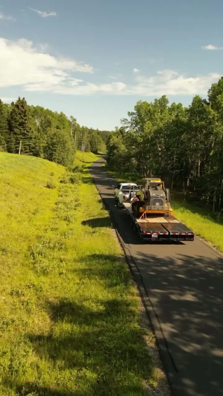
What gets shot in Didsbury.
- agricultural
- commercial retail
- municipal infrastructure
Every subject above is delivered through the same aerial photography and cinematography services, scoped and quoted before the shoot is booked.
What the research actually says.
8 weeks, not 8 months
During post-hurricane restoration in Puerto Rico a drone team pulled 72,000 feet of conductor rope in eight weeks — work previously estimated at six to eight months.
In restoration and outage work the schedule is the cost. Aerial methods change the order of magnitude, not the margin.
Reported by Power Engineering, 2025
Over $40,000
The National Safety Council puts the average cost of a single workplace injury above forty thousand dollars, before any legal exposure.
Aerial capture removes the requirement to put a person at height or in a confined space to obtain the same image. That is a risk transfer, not a convenience.
Reported by National Safety Council, cited by DSLRPros, 2025
91% less analysis time
Colonial Pipeline reports its drone analytics programme reduced inspection analysis time by 91%, prevented fourteen significant incidents annually and saved $4.2 million in emergency response costs.
Capture is the cheap half. The expensive half is turning imagery into a decision, and that is where the reduction lands.
Reported by Power Engineering, 2025
Didsbury and what surrounds it.
- Aerial photography in Carstairs10 km · Class G uncontrolled
- Aerial photography in Olds16 km · Class G uncontrolled
- Aerial photography in Crossfield27 km · Class G uncontrolled
- Aerial photography in Sundre39 km · Class G uncontrolled, local aerodrome nearby
- Aerial photography in Madden24 km · Class G uncontrolled
How a Didsbury shoot runs.
- 01Scope and quote. Most Didsbury work is agricultural or commercial retail, and the shot list follows the subject. Mobilisation is stated separately from the fee.
- 02Airspace. Checked against NAV Drone from the address, not the postcode. Didsbury is class g uncontrolled, so authorisation is not normally required — but Olds-Didsbury aerodrome is 7 km away and its circuit is plotted regardless.
- 03Weather window. Chinook belt. The Rosebud River valley is too slight to funnel or shelter the wind, so forecasts for the open prairie translate directly to conditions over town. Summer evenings run long over the flat country and rake the Rosebud valley into relief; in winter the sun stays low enough to do the same work through much of the short day, snow permitting.
- 04Shoot day. About 60 minutes from the Calgary base. Launch from the subject property with the owner's permission; town of Didsbury park and open-space rules apply to launches from municipal land; takeoff and landing from private property with the owner's permission is the default.
- 05Delivery. Edited files delivered digitally — no attendance required at any stage, which is how out-of-province owners of Didsbury property are served.
Didsbury questions, answered.
Does the Olds-Didsbury aerodrome limit drone flights over Didsbury?
Not in the ordinary case. Didsbury sits in uncontrolled Class G airspace, outside the charted Calgary-area control zones, with the aerodrome about 7 km away — close, but no airspace authorisation is normally required. Because it is close, the specific site and altitude are confirmed against NAV Drone before every flight.
What is the best light for aerial photography in Didsbury?
The low hours. Didsbury's horizon is flat in every direction, so evening light runs to true sunset — and it is only at those low angles that the shallow Rosebud River valley shows as relief. Midday flattens the country; the last hour puts the roll back into it.
Can one trip cover both Didsbury and Olds?
Yes. The two towns share the same corridor north of Calgary, with Carstairs on the same line, so two or three sites can share one mobilisation. The practical booking is a half-day window, with the order of sites set by the light rather than the map.
Didsbury is 10 km from Carstairs.
Because mobilisation is quoted from the Calgary base, Didsbury and Carstairs, 10 km away, carry different quotes for an identical subject.
Nearby
Coverage
Airspace information last verified . Rules change — every flight is re-checked before it happens.