
Drone photography in Madden, Alberta
The quarters around Madden run a visible calendar — seeded rows, standing crop, swath lines off Highway 791, then stubble under the first snow — and each stage holds for only a few weeks. Shot in the wrong week, the same acreage reads as bare dirt instead of working land, and no camera setting recovers a stage the season has already closed.
Does Fly4MEdia fly drones in Madden?
Yes. Fly4MEdia flies drone photography and cinematography in Madden, Alberta. The airspace is Class G uncontrolled. This airspace does not normally require an authorisation. Typical mobilisation from the Calgary base is 45 minutes.
Madden at a glance.
| Base of operations | Calgary, Alberta |
|---|---|
| Drive time from base | 45 minutes |
| Airspace | Class G uncontrolled |
| Nearest aerodrome | Airdrie aerodrome |
| Authorisation required | No |
| Flight status | Flown routinely |
| Certification | Transport Canada RPAS — Advanced Operations |
| Response | Reply within one business day |
| Airspace last verified | 2026-09-01 |
Flying Madden: the ground truth.
The quarters around Madden run a visible calendar — seeded rows, standing crop, swath lines off Highway 791, then stubble under the first snow — and each stage holds for only a few weeks. Shot in the wrong week, the same acreage reads as bare dirt instead of working land, and no camera setting recovers a stage the season has already closed.
Shoots here are booked to the land's stage as much as the client's diary, and where the story is change itself, a progress series covers it — each pass delivered in the standard turnaround.
Airspace. In uncontrolled Class G airspace about 30 km from Airdrie aerodrome, Madden lies outside the charted Calgary-area control zones, and no authorisation is normally required. The specific site and altitude are confirmed against NAV Drone before every flight. This is a corridor-level assessment; the specific address is confirmed against NAV Drone before every flight.
Terrain. Gently rolling grain and hay country northwest of Calgary — long open quarters where shelterbelts and yard sites are the only vertical interruptions.
Wind. Chinook belt, with no terrain to blunt it. Wind that reads as a breeze in a sheltered Calgary yard runs at full strength across the open quarters here.
Light. Long June evenings put low, raking light across field texture, and the weeks either side of harvest give the strongest colour the district gets. Winter flattens the open quarters to white within a day of the first real snowfall.
On the ground. Launches from public land around Madden fall under local municipal rules; the working default is takeoff and landing from the client's own property with consent. About 45 minutes from the Calgary base via Symons Valley Road. Comfortable as a same-day booking, and close enough to Dog Pound and Cremona to stack two shoots in one window of light.
From the reel
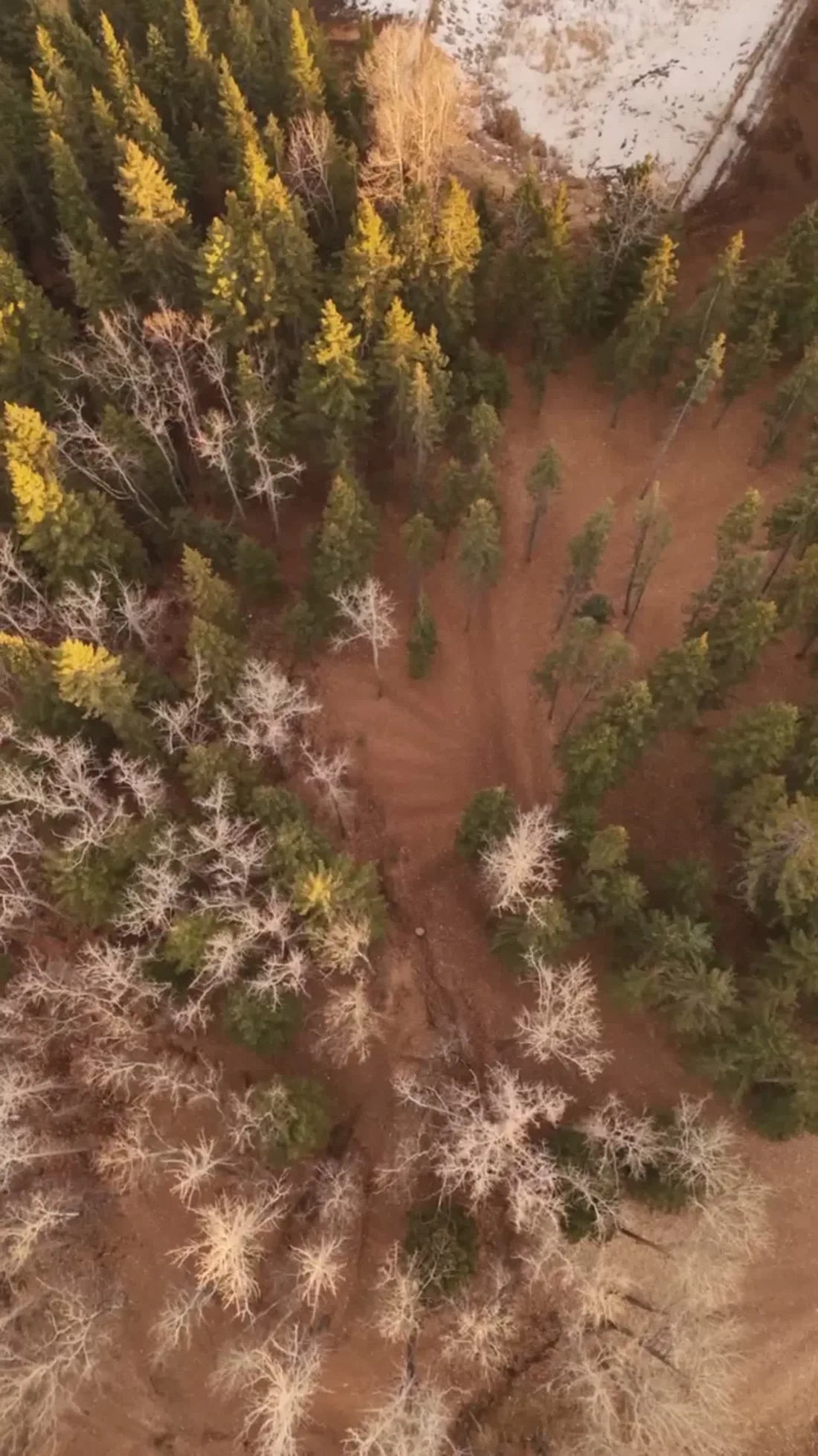
What gets shot in Madden.
- luxury residential
- new build subdivision
- commercial retail
Every subject above is delivered through the same aerial photography and cinematography services, scoped and quoted before the shoot is booked.
What the research actually says.
Up to 75% less time
McKinsey & Company reports that drones can cut surveying time by up to three quarters against traditional ground methods — a three-day site survey completed inside one.
On a consulting engagement billed by the day, survey duration is not a line item. It is the schedule.
Reported by McKinsey & Company, cited by Datumate, 2025
Advanced certificate
Transport Canada requires a Pilot Certificate for Advanced Operations to fly a remotely piloted aircraft in controlled airspace or near bystanders.
Most of Calgary sits inside the CYYC control zone. An operator without this certificate cannot legally fly the majority of addresses in the city.
Transport Canada, 2025
Industry standard
The National Association of Realtors maintains dedicated guidance on commercial drone use in listing marketing, including the certification and airspace rules an operator must meet.
Aerial media is an established part of listing marketing with real compliance requirements. The question is whether your operator meets them, not whether to use it.
Madden and what surrounds it.
- Aerial photography in Dog Pound13 km · Class G uncontrolled
- Aerial photography in Cremona20 km · Class G uncontrolled
- Aerial photography in Cochrane33 km · Class G uncontrolled
- Aerial photography in Water Valley29 km · Class G uncontrolled
- Aerial photography in Bragg Creek60 km · Class G uncontrolled
How a Madden shoot runs.
- 01Scope and quote. Most Madden work is luxury residential or new build subdivision, and the shot list follows the subject. Mobilisation is stated separately from the fee.
- 02Airspace. Checked against NAV Drone from the address, not the postcode. Madden is class g uncontrolled, so authorisation is not normally required — but Airdrie aerodrome is 30 km away and its circuit is plotted regardless.
- 03Weather window. Chinook belt, with no terrain to blunt it. Wind that reads as a breeze in a sheltered Calgary yard runs at full strength across the open quarters here. Long June evenings put low, raking light across field texture, and the weeks either side of harvest give the strongest colour the district gets. Winter flattens the open quarters to white within a day of the first real snowfall.
- 04Shoot day. About 45 minutes from the Calgary base. Launch from the subject property with the owner's permission; launches from public land around Madden fall under local municipal rules; the working default is takeoff and landing from the client's own property with consent.
- 05Delivery. Edited files delivered digitally — no attendance required at any stage, which is how out-of-province owners of Madden property are served.
Madden questions, answered.
Do you need airspace authorisation to fly near Madden?
No. Madden sits in uncontrolled Class G airspace outside the charted Calgary-area control zones, about 30 km from Airdrie aerodrome, so no airspace authorisation is normally required. The specific site and altitude are confirmed against NAV Drone before every flight as standard practice.
What time of year should a Madden acreage be photographed?
Match the shoot to what the land is doing. The quarters along Highway 791 move from seeded rows to standing crop to swath lines to stubble, and each stage lasts weeks. A listing reads best in full crop or fresh snow; a bare-field April frame sells it short.
Madden is 13 km from Dog Pound.
Every quote starts at the Calgary base, which is why identical subjects in Madden and Dog Pound — 13 km apart — price differently.
Nearby
Coverage
Airspace information last verified . Rules change — every flight is re-checked before it happens.