
Drone photography in Dog Pound, Alberta
From the air, Dog Pound is a crossroads rather than a town: Highway 22 runs straight through the survey grid while Dog Pound Creek crosses it on a line of its own. With no streetscape to borrow, a ground-level photograph strands an acreage in anonymous countryside — nothing in frame says where the property is or how it is reached.
Does Fly4MEdia fly drones in Dog Pound?
Yes. Fly4MEdia flies drone photography and cinematography in Dog Pound, Alberta. The airspace is Class G uncontrolled. This airspace does not normally require an authorisation. Typical mobilisation from the Calgary base is 50 minutes.
Dog Pound at a glance.
| Base of operations | Calgary, Alberta |
|---|---|
| Drive time from base | 50 minutes |
| Airspace | Class G uncontrolled |
| Nearest aerodrome | Olds-Didsbury aerodrome |
| Authorisation required | No |
| Flight status | Flown routinely |
| Certification | Transport Canada RPAS — Advanced Operations |
| Response | Reply within one business day |
| Airspace last verified | 2026-09-01 |
Flying Dog Pound: the ground truth.
From the air, Dog Pound is a crossroads rather than a town: Highway 22 runs straight through the survey grid while Dog Pound Creek crosses it on a line of its own. With no streetscape to borrow, a ground-level photograph strands an acreage in anonymous countryside — nothing in frame says where the property is or how it is reached.
An approach run along Highway 22 into a boundary-line orbit puts the property, its access and the creek line into one readable frame, delivered in the standard turnaround.
Airspace. In uncontrolled Class G airspace about 34 km from Olds-Didsbury aerodrome, Dog Pound lies outside the charted Calgary-area control zones, and no authorisation is normally required. The specific site and altitude are confirmed against NAV Drone before every flight. This is a corridor-level assessment; the specific address is confirmed against NAV Drone before every flight.
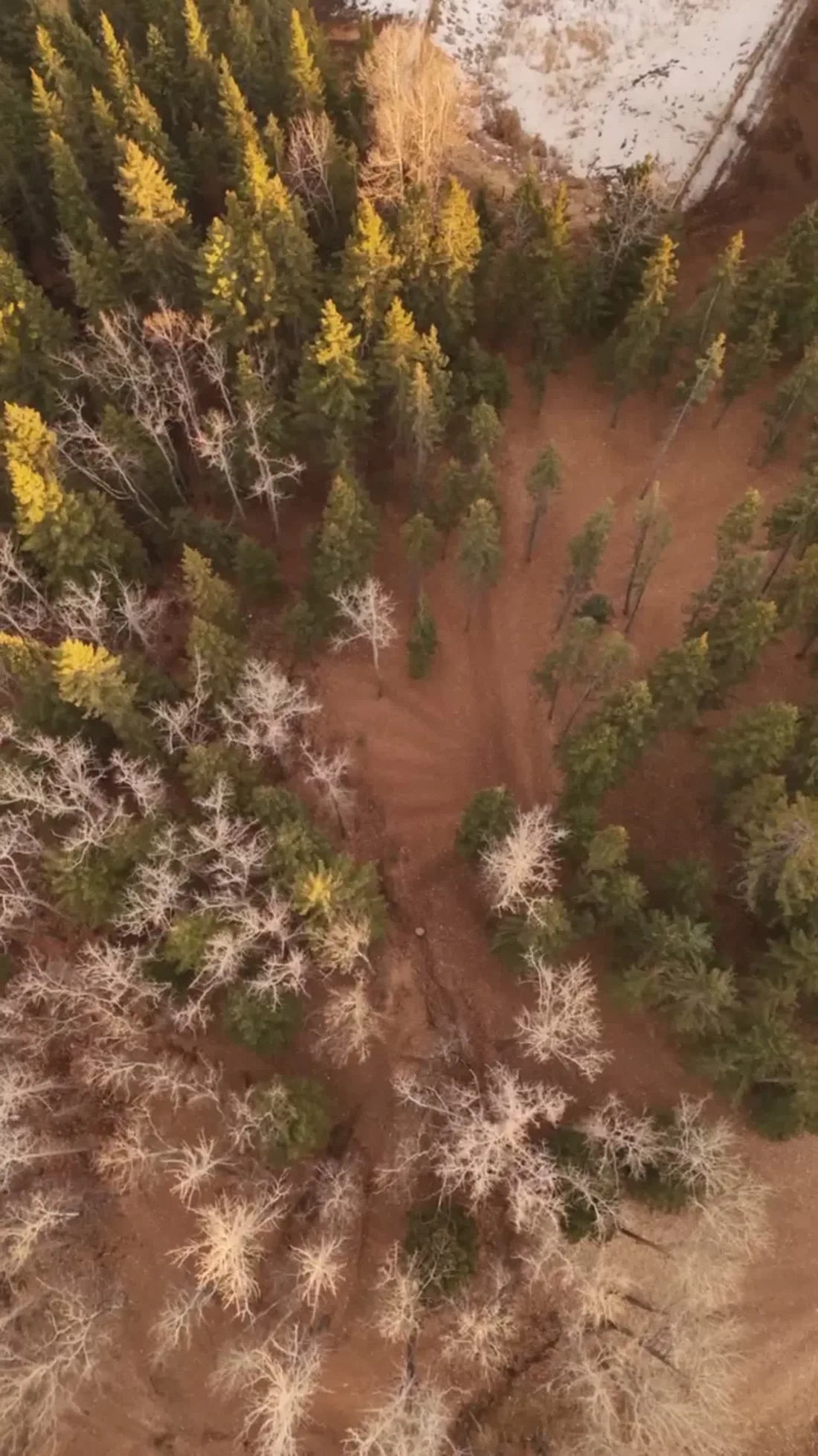
Terrain. Open ranch and crop land laid out on the survey grid, with Dog Pound Creek cutting a shallow, winding valley across it — the only line in the landscape that ignores the roads.
Wind. Chinook country, and open. West and southwest winds cross this stretch with little in their way; the shallow Dog Pound Creek line offers brief shelter, not protection.
Light. Green-up runs first along Dog Pound Creek and later on the open upland, so spring frames read best near the water. In winter the creek line is often the only dark feature in an otherwise white grid.
On the ground. Local municipal rules govern launches from public land, and Big Hill Springs Provincial Park is not treated as a launch site; takeoff from private property with the owner's consent is the default. Roughly 50 minutes up Highway 22 from the Calgary base. An easy half-day booking, and Cremona or Madden can share the same trip.
From the reel
What gets shot in Dog Pound.
- luxury residential
- commercial retail
Every subject above is delivered through the same aerial photography and cinematography services, scoped and quoted before the shoot is booked.
What the research actually says.
USD 9.83 billion
Emergen Research sizes the global drone inspection and monitoring market at nearly ten billion dollars in 2025, growing at a 16.4% compound annual rate.
Aerial capture is a procured category with established vendors and comparable rates, not an experimental line item requiring internal justification.
Emergen Research, 2025
403% more enquiries
Listings that include video have been reported to receive several times the enquiry volume of listings without it.
Enquiry volume is the top of the funnel. A listing that starts more conversations closes from a larger pool.
Reported by RubyHome, real estate photography research roundup, 2024
Advanced certificate
Transport Canada requires a Pilot Certificate for Advanced Operations to fly a remotely piloted aircraft in controlled airspace or near bystanders.
Most of Calgary sits inside the CYYC control zone. An operator without this certificate cannot legally fly the majority of addresses in the city.
Transport Canada, 2025
Dog Pound and what surrounds it.
- Aerial photography in Cremona8 km · Class G uncontrolled
- Aerial photography in Madden13 km · Class G uncontrolled
- Aerial photography in Water Valley16 km · Class G uncontrolled
- Aerial photography in Cochrane33 km · Class G uncontrolled
- Aerial photography in Bragg Creek60 km · Class G uncontrolled
How a Dog Pound shoot runs.
- 01Scope and quote. Most Dog Pound work is luxury residential or commercial retail, and the shot list follows the subject. Mobilisation is stated separately from the fee.
- 02Airspace. Checked against NAV Drone from the address, not the postcode. Dog Pound is class g uncontrolled, so authorisation is not normally required — but Olds-Didsbury aerodrome is 34 km away and its circuit is plotted regardless.
- 03Weather window. Chinook country, and open. West and southwest winds cross this stretch with little in their way; the shallow Dog Pound Creek line offers brief shelter, not protection. Green-up runs first along Dog Pound Creek and later on the open upland, so spring frames read best near the water. In winter the creek line is often the only dark feature in an otherwise white grid.
- 04Shoot day. About 50 minutes from the Calgary base. Launch from the subject property with the owner's permission; local municipal rules govern launches from public land, and Big Hill Springs Provincial Park is not treated as a launch site; takeoff from private property with the owner's consent is the default.
- 05Delivery. Edited files delivered digitally — no attendance required at any stage, which is how out-of-province owners of Dog Pound property are served.
Dog Pound questions, answered.
What airspace rules apply to a drone flight at Dog Pound?
Dog Pound is in uncontrolled Class G airspace, well clear of the Calgary-area control zones — the nearest aerodrome is Olds-Didsbury, about 34 km away. No airspace authorisation is normally needed. Every booking is still checked against NAV Drone for the exact site before the flight.
How do you photograph an acreage that has no town around it?
By using the roads and the creek. From the air a Dog Pound property is located by its relationship to Highway 22, the range-road grid and Dog Pound Creek, so the orbit is planned to hold at least one of those references in frame while keeping the buildings large.
Dog Pound is 8 km from Cremona.
Every quote starts at the Calgary base, which is why identical subjects in Dog Pound and Cremona — 8 km apart — price differently.
Nearby
Coverage
Airspace information last verified . Rules change — every flight is re-checked before it happens.