
Drone photography in Downtown West End, Alberta
The West End is downtown's windward edge: a chinook that crosses the city meets the tower mass here first, and the river corridor along the Bow River Pathway hands the west wind a straight run into the district. Flight windows here are shorter and shiftier than a city-average forecast implies — a day that is flyable in the east core can be grounded at 14th Street SW, and the difference only shows up on site.
Does Fly4MEdia fly drones in Downtown West End?
Yes. Fly4MEdia flies drone photography and cinematography in Downtown West End, Alberta. The airspace is Class C control zone (CYYC). Flights are conducted under an Advanced RPAS certificate with airspace authorisation filed before the shoot is confirmed. From the Calgary base, mobilisation is typically 15 minutes.
Downtown West End at a glance.
| Base of operations | Calgary, Alberta |
|---|---|
| Drive time from base | 15 minutes |
| Airspace | Class C control zone (CYYC) |
| Nearest aerodrome | Calgary International Airport (CYYC) |
| Authorisation required | Yes — filed before booking is confirmed |
| Flight status | Flown with airspace authorisation |
| Certification | Transport Canada RPAS — Advanced Operations |
| Response | Reply within one business day |
| Airspace last verified | 2026-09-01 |
Flying Downtown West End: the ground truth.
The West End is downtown's windward edge: a chinook that crosses the city meets the tower mass here first, and the river corridor along the Bow River Pathway hands the west wind a straight run into the district. Flight windows here are shorter and shiftier than a city-average forecast implies — a day that is flyable in the east core can be grounded at 14th Street SW, and the difference only shows up on site.
West End shoots are booked with a wind margin and a named backup window, gusts are read at flight height before launch, and the authorised plan is flown when the corridor goes quiet — delivered in the standard turnaround.
Airspace. Downtown West End sits about 10 km from Calgary International, inside the CYYC control zone as charted. Flights here are conducted under an Advanced RPAS certificate with a NAV CANADA RPAS authorisation obtained before the shoot is confirmed. Foothills Medical Centre heliport operates about 4 km away, and flight plans keep clear of its approaches. Every flight is preceded by a NAV Drone check of the specific site and altitude. This is a corridor-level assessment; the specific address is confirmed against NAV Drone before every flight.
Terrain. Flat ground where the tower core thins westward into lower blocks — the river runs along the district's north side and Bow Trail feeds in from the west.
Wind. The most wind-exposed corner of the core. Chinook westerlies arrive unbroken off the open ground west of the city and funnel along the river corridor, so gust spread — not average speed — is the number that decides a launch.
Light. Winter chinooks make this the core's most volatile scheduling zone, with clear, warm afternoons that are unflyable; calm summer mornings are the district's most reliable light, before the westerly builds.
On the ground. Under Calgary's parks bylaws, municipal parks and pathways — Shaw Millennium Park and the river pathway among them — are not available for drone takeoff or landing, so launches stage from private property with consent. About 15 minutes from the base — close enough to take a short-notice calm window the same day, once the authorisation is already in hand.
From the reel
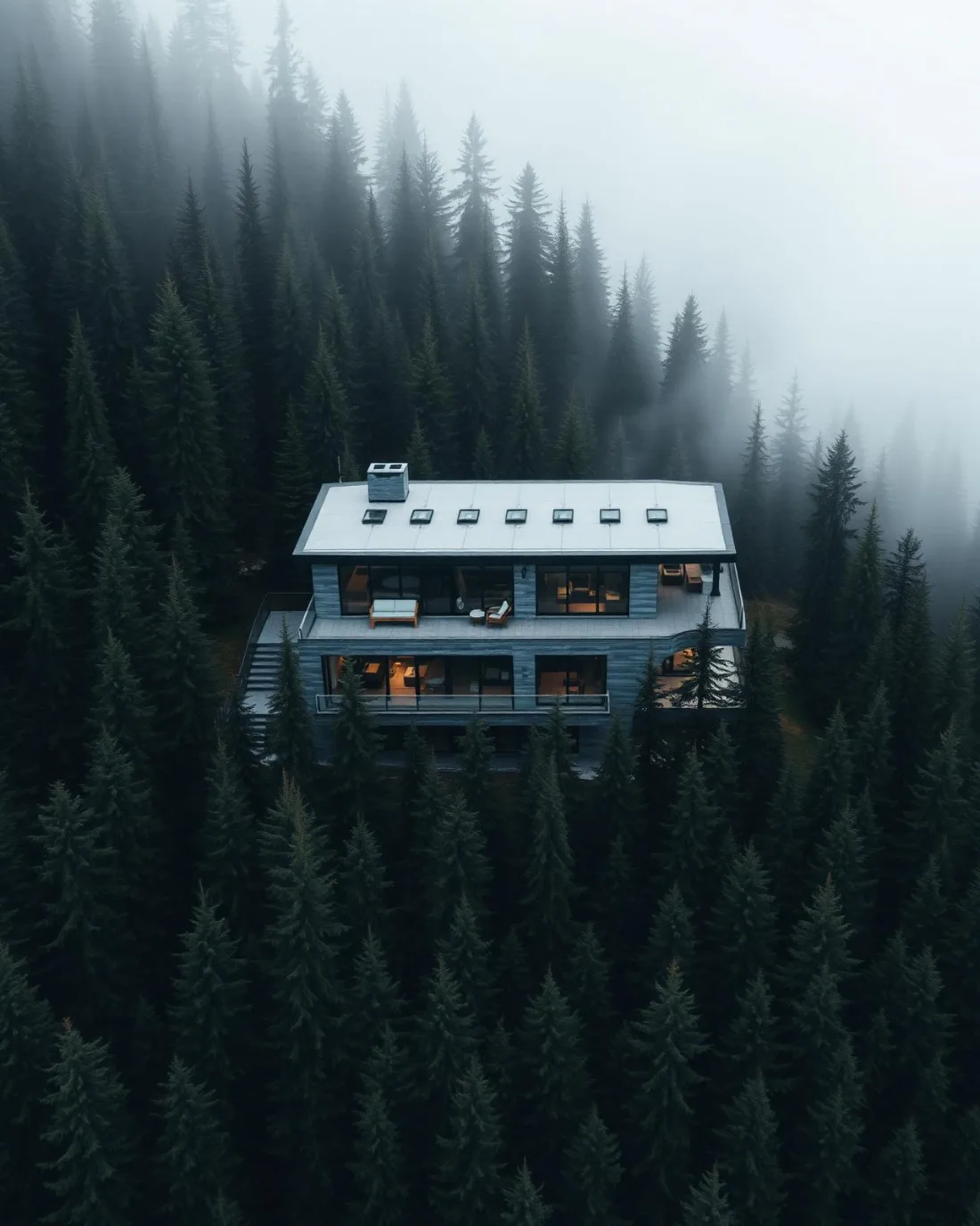
What gets shot in Downtown West End.
- luxury residential
- construction progress
- commercial retail
Every subject above is delivered through the same aerial photography and cinematography services, scoped and quoted before the shoot is booked.
What the research actually says.
Industry standard
The National Association of Realtors maintains dedicated guidance on commercial drone use in listing marketing, including the certification and airspace rules an operator must meet.
Aerial media is an established part of listing marketing with real compliance requirements. The question is whether your operator meets them, not whether to use it.
18 days to 4 hours
Marathon Pipe Line cut its response time to potential pipeline issues from eighteen days to four hours using drone inspection, preventing six major incidents in the first year at a reported saving of $8.3 million.
On linear infrastructure the cost is not the inspection. It is the time between a fault existing and anyone knowing about it.
Reported by Power Engineering, 2025
40–60% lower
Construction programmes adopting systematic drone survey report reductions of roughly half in surveying cost, alongside faster data collection.
The saving is structural rather than one-off: it applies to every survey cycle across the life of the project.
Reported by Datumate, 2025
Downtown West End and what surrounds it.
- Aerial photography in Downtown Commercial Core1 km · Class C control zone (CYYC)
- Aerial photography in Beltline1 km · Class C control zone (CYYC)
- Aerial photography in Eau Claire1 km · Class C control zone (CYYC)
- Aerial photography in Calgary1 km · Class C control zone (CYYC)
- Aerial photography in Chinatown2 km · Class C control zone (CYYC)
How a Downtown West End shoot runs.
- 01Scope and quote. Most Downtown West End work is luxury residential or construction progress, and the shot list follows the subject. Mobilisation is stated separately from the fee.
- 02Airspace. Downtown West End sits under Calgary International Airport (CYYC), 10 km away. Authorisation is filed with NAV CANADA and the date is confirmed once it is in hand.
- 03Weather window. The most wind-exposed corner of the core. Chinook westerlies arrive unbroken off the open ground west of the city and funnel along the river corridor, so gust spread — not average speed — is the number that decides a launch. Winter chinooks make this the core's most volatile scheduling zone, with clear, warm afternoons that are unflyable; calm summer mornings are the district's most reliable light, before the westerly builds.
- 04Shoot day. About 15 minutes from the Calgary base. Launch from the subject property with the owner's permission; under Calgary's parks bylaws, municipal parks and pathways — Shaw Millennium Park and the river pathway among them — are not available for drone takeoff or landing, so launches stage from private property with consent.
- 05Delivery. Edited files delivered digitally — no attendance required at any stage, which is how out-of-province owners of Downtown West End property are served.
Downtown West End questions, answered.
What are the airspace rules for the Downtown West End?
The district is inside the CYYC Class C control zone, about 10 km from Calgary International, and the Foothills Medical Centre heliport operates roughly 4 km away. Flights run under an Advanced RPAS certificate with a NAV CANADA authorisation obtained before the shoot is confirmed, and every plan keeps clear of the heliport approaches.
Why would a West End shoot be postponed when downtown looks calm?
Because the wind arrives here first. The West End takes the westerly before the rest of the core and the river corridor accelerates it, so conditions at Shaw Millennium Park can be out of limits while the east core is flyable. The booking carries a backup window for exactly that case.
Downtown West End is 1 km from Downtown Commercial Core.
Because mobilisation is quoted from the Calgary base, Downtown West End and Downtown Commercial Core, 1 km away, carry different quotes for an identical subject.
Nearby
Coverage
Airspace information last verified . Rules change — every flight is re-checked before it happens.