
Drone photography in Homestead, Alberta
Homestead is young enough that its tree canopy is still years from doing any work, so wind that crosses Stoney Trail NE off the open prairie reaches street level unbroken — there is no shelter layer here yet. Ground gusts match altitude gusts, and on a construction site that also means dust across the lens exactly when the light is best. Flight windows here run shorter than the citywide forecast implies.
Does Fly4MEdia fly drones in Homestead?
Yes. Fly4MEdia flies drone photography and cinematography in Homestead, Alberta. The airspace is Class C control zone (CYYC). Work here flies under an Advanced RPAS certificate, and the airspace authorisation is filed before any shoot date is confirmed. From the Calgary base, mobilisation is typically 20 minutes.
Homestead at a glance.
| Base of operations | Calgary, Alberta |
|---|---|
| Drive time from base | 20 minutes |
| Airspace | Class C control zone (CYYC) |
| Nearest aerodrome | Calgary International Airport (CYYC) |
| Authorisation required | Yes — filed before booking is confirmed |
| Flight status | Flown with airspace authorisation |
| Certification | Transport Canada RPAS — Advanced Operations |
| Response | Reply within one business day |
| Airspace last verified | 2026-09-01 |
Flying Homestead: the ground truth.
Homestead is young enough that its tree canopy is still years from doing any work, so wind that crosses Stoney Trail NE off the open prairie reaches street level unbroken — there is no shelter layer here yet. Ground gusts match altitude gusts, and on a construction site that also means dust across the lens exactly when the light is best. Flight windows here run shorter than the citywide forecast implies.
Shoots are timed to the calm ends of the day and the gust spread is checked on site before launch — a builder's progress series holds its schedule that way, delivered in the standard turnaround.
Airspace. Homestead lies inside the charted CYYC control zone, about 4 km from Calgary International. Work here flies under an Advanced RPAS certificate, and the NAV CANADA RPAS authorisation is in hand before a shoot date is confirmed. Peter Lougheed Centre heliport operates about 5 km away, and flight plans keep clear of its approaches. Before any flight, the exact site and altitude are checked against NAV Drone. This is a corridor-level assessment; the specific address is confirmed against NAV Drone before every flight.
Terrain. Flat, newly graded prairie at the city's northeast edge, its street pattern still filling in around Homestead Boulevard NE and open ground running out beyond Stoney Trail NE.
Wind. Chinook belt with maximum exposure: no mature trees, no relief, open fetch from the west and north. Surface wind here is the closest thing in the city to the raw forecast number.
Light. New landscaping greens late and browns early, so summer frames read greener each year as the community matures. Winter chinooks strip the snow fast on this open grade; a white frame needs same-week timing.
On the ground. Takeoff and landing inside City of Calgary parks — Homestead Park included — is restricted by the parks bylaws, so launches are staged from private land with the client's consent. About 20 minutes from base via Metis Trail NE or Stoney Trail NE. Progress-series visits pair with Redstone, Skyview Ranch or Saddle Ridge in one northeast run.
From the reel
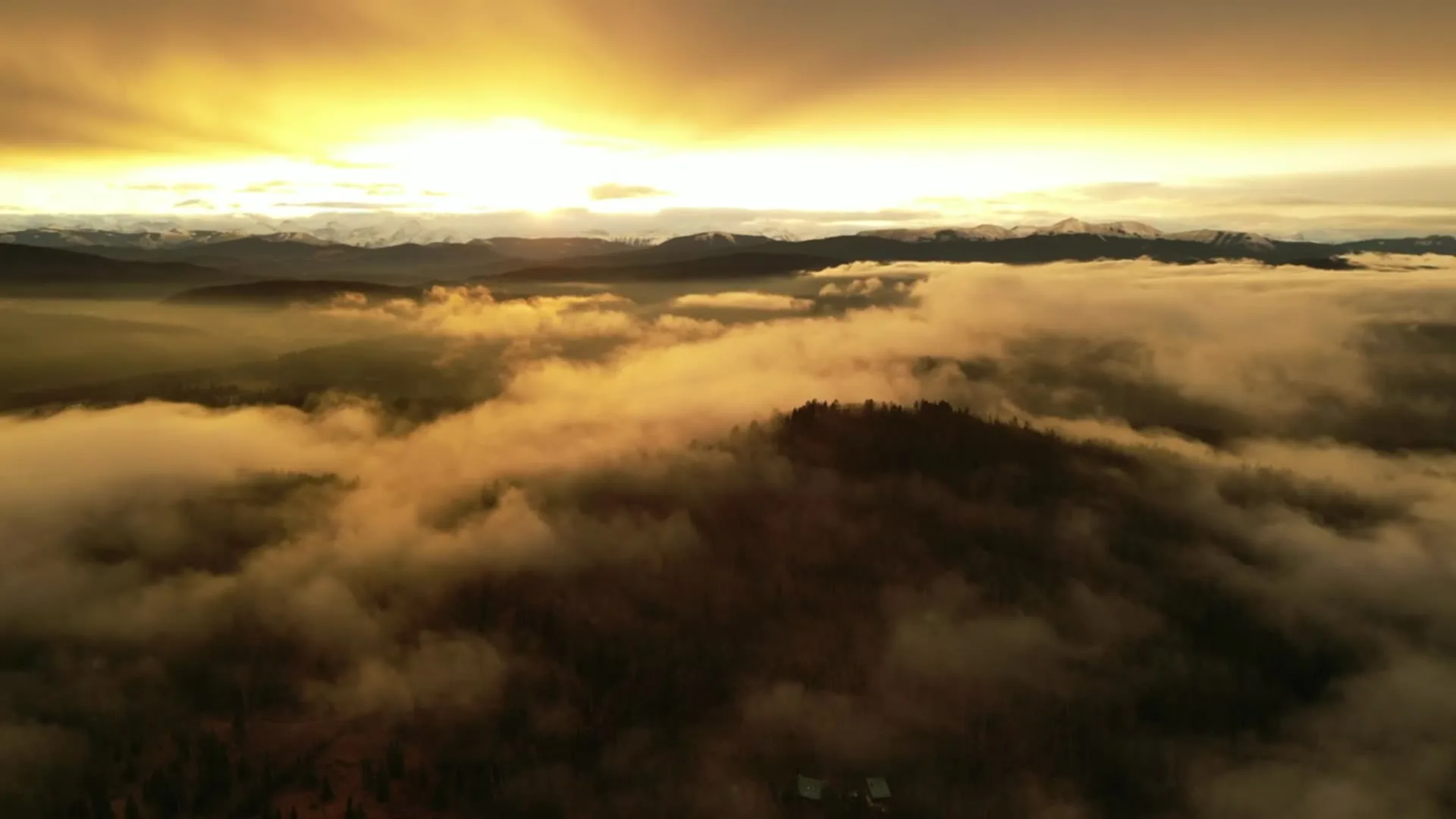
What gets shot in Homestead.
- new build subdivision
- construction progress
- commercial retail
Every subject above is delivered through the same aerial photography and cinematography services, scoped and quoted before the shoot is booked.
What the research actually says.
91% less analysis time
Colonial Pipeline reports its drone analytics programme reduced inspection analysis time by 91%, prevented fourteen significant incidents annually and saved $4.2 million in emergency response costs.
Capture is the cheap half. The expensive half is turning imagery into a decision, and that is where the reduction lands.
Reported by Power Engineering, 2025
18 days to 4 hours
Marathon Pipe Line cut its response time to potential pipeline issues from eighteen days to four hours using drone inspection, preventing six major incidents in the first year at a reported saving of $8.3 million.
On linear infrastructure the cost is not the inspection. It is the time between a fault existing and anyone knowing about it.
Reported by Power Engineering, 2025
Advanced certificate
Transport Canada requires a Pilot Certificate for Advanced Operations to fly a remotely piloted aircraft in controlled airspace or near bystanders.
Most of Calgary sits inside the CYYC control zone. An operator without this certificate cannot legally fly the majority of addresses in the city.
Transport Canada, 2025
Homestead and what surrounds it.
- Aerial photography in Saddle Ridge1 km · Class C control zone (CYYC)
- Aerial photography in Redstone3 km · Class C control zone (CYYC)
- Aerial photography in Skyview Ranch4 km · Class C control zone (CYYC)
- Aerial photography in Abbeydale6 km · Class C control zone (CYYC)
- Aerial photography in Applewood Park7 km · Class C control zone (CYYC)
How a Homestead shoot runs.
- 01Scope and quote. Most Homestead work is new build subdivision or construction progress, and the shot list follows the subject. Mobilisation is stated separately from the fee.
- 02Airspace. Homestead sits under Calgary International Airport (CYYC), 4 km away. Authorisation is filed with NAV CANADA and the date is confirmed once it is in hand.
- 03Weather window. Chinook belt with maximum exposure: no mature trees, no relief, open fetch from the west and north. Surface wind here is the closest thing in the city to the raw forecast number. New landscaping greens late and browns early, so summer frames read greener each year as the community matures. Winter chinooks strip the snow fast on this open grade; a white frame needs same-week timing.
- 04Shoot day. About 20 minutes from the Calgary base. Launch from the subject property with the owner's permission; takeoff and landing inside City of Calgary parks — Homestead Park included — is restricted by the parks bylaws, so launches are staged from private land with the client's consent.
- 05Delivery. Edited files delivered digitally — no attendance required at any stage, which is how out-of-province owners of Homestead property are served.
Homestead questions, answered.
Homestead is close to the airport — does that stop construction progress flights?
No, it structures them. Homestead sits about 4 km from Calgary International inside the CYYC Class C control zone, so each flight operates under an Advanced RPAS certificate with NAV CANADA authorisation, filed as part of booking. Recurring progress flights reuse the same planning, which keeps a monthly series predictable.
Why book a fixed monthly progress series in Homestead rather than ad-hoc flights?
Because the comparison is the product. A progress series flown from the same positions and altitudes each visit turns raw footage into a measurable record — framing, lot lines and stage of build line up month over month. Ad-hoc flights produce pictures; a series produces evidence of schedule.
Homestead is 1 km from Saddle Ridge.
Mobilisation is quoted from the Calgary base, so a shoot in Homestead and one 1 km away in Saddle Ridge are priced differently even when the subject is identical.
Nearby
Coverage
Airspace information last verified . Rules change — every flight is re-checked before it happens.