
Drone photography in Kincora, Alberta
From above, Kincora resolves into a single system of loops — Kincora Drive NW curling into Kincora Rise NW and Kincora Bay NW — with almost no straight line in the plan except the commercial edge at Beacon Hill Shopping Centre. A ground-level photograph cannot orient a buyer inside that geometry — a house on a curving court could be anywhere, and its position relative to Kincora Park or the shopping centre is exactly what the listing needs to prove.
Does Fly4MEdia fly drones in Kincora?
Yes. Fly4MEdia flies drone photography and cinematography in Kincora, Alberta. The airspace is CYYC control zone edge. Work here flies under an Advanced RPAS certificate, and the airspace authorisation is filed before any shoot date is confirmed. Typical mobilisation from the Calgary base is 25 minutes.
Kincora at a glance.
| Base of operations | Calgary, Alberta |
|---|---|
| Drive time from base | 25 minutes |
| Airspace | CYYC control zone edge |
| Nearest aerodrome | Calgary International Airport (CYYC) |
| Authorisation required | Yes — filed before booking is confirmed |
| Flight status | Flown with airspace authorisation |
| Certification | Transport Canada RPAS — Advanced Operations |
| Response | Reply within one business day |
| Airspace last verified | 2026-09-01 |
Flying Kincora: the ground truth.
From above, Kincora resolves into a single system of loops — Kincora Drive NW curling into Kincora Rise NW and Kincora Bay NW — with almost no straight line in the plan except the commercial edge at Beacon Hill Shopping Centre. A ground-level photograph cannot orient a buyer inside that geometry — a house on a curving court could be anywhere, and its position relative to Kincora Park or the shopping centre is exactly what the listing needs to prove.
One elevated hold above the property places the lot inside the loop plan and shows its relationship to Kincora Park and Beacon Hill Shopping Centre, delivered in the standard turnaround.
Airspace. At about 11 km from Calgary International, Kincora runs close to the charted edge of the CYYC control zone — which side of the line an address falls on decides the paperwork. Planning treats it as controlled airspace until NAV Drone shows otherwise, and any required authorisation is filed before the date is booked. The specific site and altitude are confirmed against NAV Drone before every flight. This is a corridor-level assessment; the specific address is confirmed against NAV Drone before every flight.
Terrain. Rolling upland on the city's northwest rim, the subdivision bending around green space at Kincora Park, with the land easing down toward Symons Valley Ranch.
Wind. Chinook belt, on the city's exposed northwest shoulder. West wind arrives over open country with little to slow it, and the gust spread matters more than the average on the forecast.
Light. Snow arrives early and lingers on this high ground; green-up runs later than in the valley communities. Long June evenings put low light across the loops when the plan photographs best.
On the ground. City of Calgary bylaws restrict drone takeoff and landing in municipal parks and on pathways, so launches are staged from private property with the client's consent. About 25 minutes from the Calgary base. Comfortably a same-day booking when weather and authorisation align, and easily paired with Sherwood, Symons Valley or Panorama Hills in one trip.
From the reel
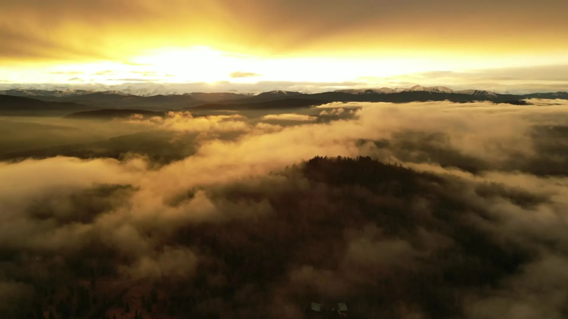
What gets shot in Kincora.
- luxury residential
- new build subdivision
- commercial retail
Every subject above is delivered through the same aerial photography and cinematography services, scoped and quoted before the shoot is booked.
What the research actually says.
USD 9.83 billion
Emergen Research sizes the global drone inspection and monitoring market at nearly ten billion dollars in 2025, growing at a 16.4% compound annual rate.
Aerial capture is a procured category with established vendors and comparable rates, not an experimental line item requiring internal justification.
Emergen Research, 2025
Up to 75% less time
McKinsey & Company reports that drones can cut surveying time by up to three quarters against traditional ground methods — a three-day site survey completed inside one.
On a consulting engagement billed by the day, survey duration is not a line item. It is the schedule.
Reported by McKinsey & Company, cited by Datumate, 2025
Industry standard
The National Association of Realtors maintains dedicated guidance on commercial drone use in listing marketing, including the certification and airspace rules an operator must meet.
Aerial media is an established part of listing marketing with real compliance requirements. The question is whether your operator meets them, not whether to use it.
Kincora and what surrounds it.
- Aerial photography in Sherwood1 km · CYYC control zone edge
- Aerial photography in Symons Valley1 km · Class C control zone (CYYC)
- Aerial photography in Panorama Hills2 km · Class C control zone (CYYC)
- Aerial photography in Arbour Lake4 km · CYYC control zone edge
- Aerial photography in Banff Trail10 km · Class C control zone (CYYC)
How a Kincora shoot runs.
- 01Scope and quote. Most Kincora work is luxury residential or new build subdivision, and the shot list follows the subject. Mobilisation is stated separately from the fee.
- 02Airspace. Kincora sits under Calgary International Airport (CYYC), 11 km away. Authorisation is filed with NAV CANADA and the date is confirmed once it is in hand.
- 03Weather window. Chinook belt, on the city's exposed northwest shoulder. West wind arrives over open country with little to slow it, and the gust spread matters more than the average on the forecast. Snow arrives early and lingers on this high ground; green-up runs later than in the valley communities. Long June evenings put low light across the loops when the plan photographs best.
- 04Shoot day. About 25 minutes from the Calgary base. Launch from the subject property with the owner's permission; city of Calgary bylaws restrict drone takeoff and landing in municipal parks and on pathways, so launches are staged from private property with the client's consent.
- 05Delivery. Edited files delivered digitally — no attendance required at any stage, which is how out-of-province owners of Kincora property are served.
Kincora questions, answered.
Does a Kincora drone shoot need NAV CANADA authorisation?
Often, yes. Kincora sits about 11 km from Calgary International, near the charted boundary of the CYYC control zone, so which side of the line an address falls on decides the paperwork. Fly4MEdia plans it as controlled airspace until NAV Drone shows otherwise, and files any authorisation before the date is booked.
Why do aerial photos suit Kincora listings so well?
The street plan is built from loops and courts rather than a grid, so a buyer cannot easily place Kincora Rise NW or Kincora Bay NW on a mental map. One elevated frame orients the lot inside the loops and shows its position relative to Beacon Hill Shopping Centre and Kincora Park.
Can Kincora be combined with nearby communities in one booking?
Yes. Kincora is about 25 minutes from the Calgary base, and Sherwood, Symons Valley and Panorama Hills sit in the same corridor. A single mobilisation can cover shoots in two or three of these communities inside one light window, which is the economical way to book smaller jobs.
Kincora is 1 km from Sherwood.
Every quote starts at the Calgary base, which is why identical subjects in Kincora and Sherwood — 1 km apart — price differently.
Nearby
Coverage
Airspace information last verified . Rules change — every flight is re-checked before it happens.