
Drone photography in Longview, Alberta
Longview reads truest from altitude: the village stands on a rise with the Highwood River below it to the west and the front ranges behind that, and the long sightline in its name only exists as a stacked frame — rooftops, valley, mountains. A camera at street height on Morrison St sees a flat main street and a big sky — the drop to the river and the distance behind it, the two things the village is named for, never reach the picture.
Does Fly4MEdia fly drones in Longview?
Yes. Fly4MEdia flies drone photography and cinematography in Longview, Alberta. The airspace is Class G uncontrolled. Authorisation is not normally required in this airspace. Typical mobilisation from the Calgary base is 55 minutes.
Longview at a glance.
| Base of operations | Calgary, Alberta |
|---|---|
| Drive time from base | 55 minutes |
| Airspace | Class G uncontrolled |
| Nearest aerodrome | High River aerodrome |
| Authorisation required | No |
| Flight status | Flown routinely |
| Certification | Transport Canada RPAS — Advanced Operations |
| Response | Reply within one business day |
| Airspace last verified | 2026-09-01 |
Flying Longview: the ground truth.
Longview reads truest from altitude: the village stands on a rise with the Highwood River below it to the west and the front ranges behind that, and the long sightline in its name only exists as a stacked frame — rooftops, valley, mountains. A camera at street height on Morrison St sees a flat main street and a big sky — the drop to the river and the distance behind it, the two things the village is named for, never reach the picture.
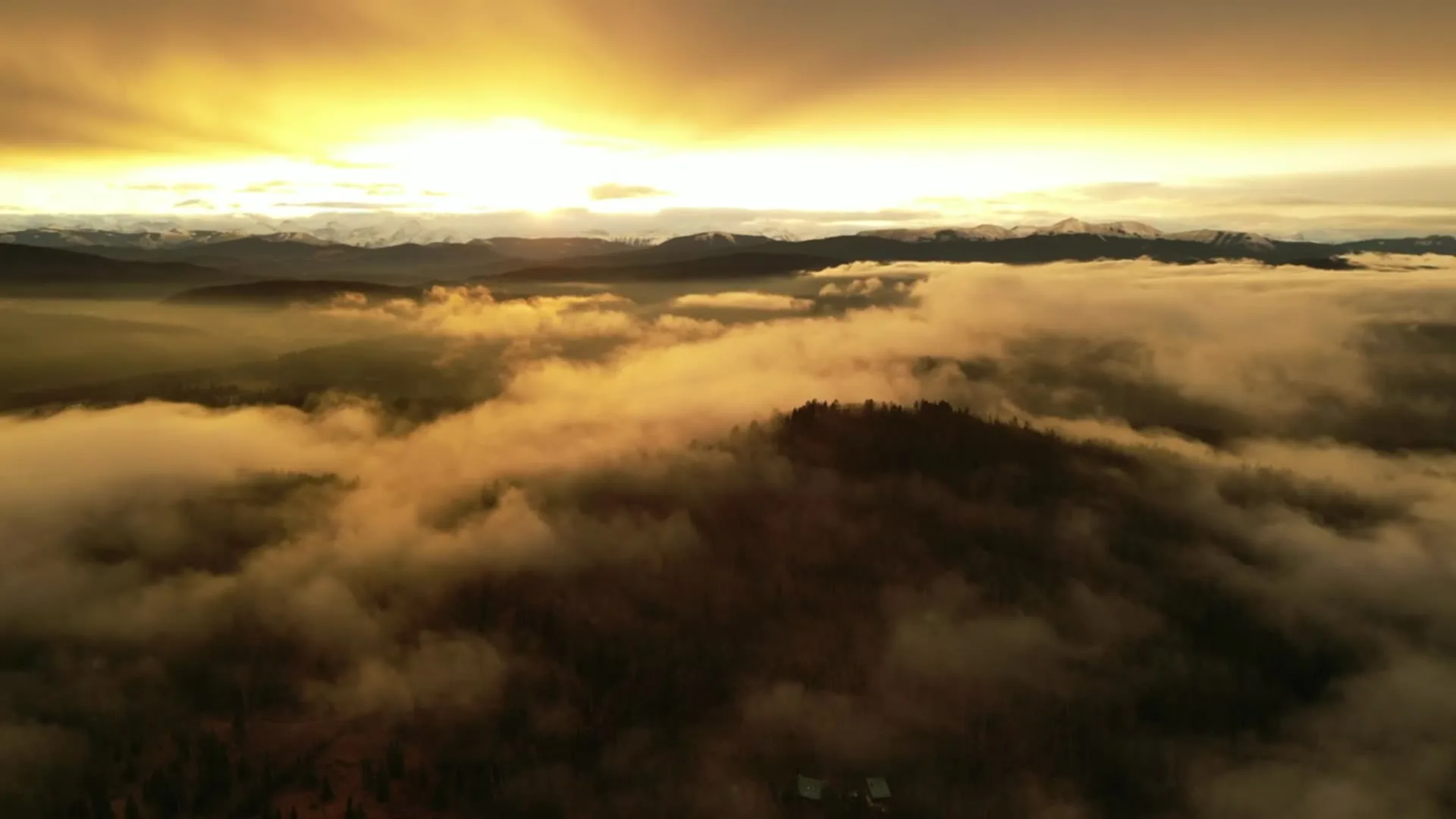
A rising reveal from village height, facing west over the Highwood valley, stacks rooftops, river and range into one frame — delivered in the standard turnaround.
Airspace. Longview sits in uncontrolled Class G airspace, clear of the charted Calgary-area control zones and about 24 km from High River aerodrome. Authorisation is not normally required here. The specific site and altitude are confirmed against NAV Drone before every flight. This is a corridor-level assessment; the specific address is confirmed against NAV Drone before every flight.
Terrain. Ranch country at the front of the foothills — the village on a height of ground, the Highwood River valley cut below it, and genuine relief building west toward the mountains.
Wind. The chinook arch overhead is a working forecast here — when it stands over the front ranges, the west wind beneath it is already crossing Hwy 22 at strength.
Light. Chinook winds strip snow from the open ranch ground within days, so winter frames often read brown rather than white; the Highwood corridor below the village holds colour and contrast longest.
On the ground. Village of Longview rules govern its public spaces and municipal land; shoots stage from private property with the owner's consent as the working default. About 55 minutes from the Calgary base. Practical as a half-day booking, and Diamond Valley sits on the road home if two sites need one trip.
From the reel
What gets shot in Longview.
- acreage estate
- agricultural
- luxury residential
Every subject above is delivered through the same aerial photography and cinematography services, scoped and quoted before the shoot is booked.
What the research actually says.
91% less analysis time
Colonial Pipeline reports its drone analytics programme reduced inspection analysis time by 91%, prevented fourteen significant incidents annually and saved $4.2 million in emergency response costs.
Capture is the cheap half. The expensive half is turning imagery into a decision, and that is where the reduction lands.
Reported by Power Engineering, 2025
Advanced certificate
Transport Canada requires a Pilot Certificate for Advanced Operations to fly a remotely piloted aircraft in controlled airspace or near bystanders.
Most of Calgary sits inside the CYYC control zone. An operator without this certificate cannot legally fly the majority of addresses in the city.
Transport Canada, 2025
Over $40,000
The National Safety Council puts the average cost of a single workplace injury above forty thousand dollars, before any legal exposure.
Aerial capture removes the requirement to put a person at height or in a confined space to obtain the same image. That is a risk transfer, not a convenience.
Reported by National Safety Council, cited by DSLRPros, 2025
Longview and what surrounds it.
- Aerial photography in Diamond Valley22 km · Class G uncontrolled
- Aerial photography in Nanton33 km · Class G uncontrolled
- Aerial photography in High River24 km · Class G uncontrolled
- Aerial photography in Okotoks29 km · Class G uncontrolled
- Aerial photography in Aldersyde28 km · Class G uncontrolled, local aerodrome nearby
How a Longview shoot runs.
- 01Scope and quote. Most Longview work is acreage estate or agricultural, and the shot list follows the subject. Mobilisation is stated separately from the fee.
- 02Airspace. Checked against NAV Drone from the address, not the postcode. Longview is class g uncontrolled, so authorisation is not normally required — but High River aerodrome is 24 km away and its circuit is plotted regardless.
- 03Weather window. The chinook arch overhead is a working forecast here — when it stands over the front ranges, the west wind beneath it is already crossing Hwy 22 at strength. Chinook winds strip snow from the open ranch ground within days, so winter frames often read brown rather than white; the Highwood corridor below the village holds colour and contrast longest.
- 04Shoot day. About 55 minutes from the Calgary base. Launch from the subject property with the owner's permission; village of Longview rules govern its public spaces and municipal land; shoots stage from private property with the owner's consent as the working default.
- 05Delivery. Edited files delivered digitally — no attendance required at any stage, which is how out-of-province owners of Longview property are served.
Longview questions, answered.
Do you need airspace authorisation for a drone shoot in Longview?
Normally, no. Longview sits in uncontrolled Class G airspace, about 24 km from High River aerodrome and outside the charted Calgary-area control zones, so routine flights need no airspace authorisation. The specific site and altitude are confirmed against NAV Drone before every flight, the same check every booking gets.
Is Longview too windy for drone photography?
No, but wind sets the schedule. This stretch of Hwy 22 takes west wind straight off the front ranges, and when the chinook arch stands overhead the airframe often stays in its case. Shoots are booked against a forecast wind window rather than a fixed hour, which keeps cancellations rare.
What does an aerial frame show of Longview that a ground photo cannot?
The drop and the distance. The village stands on high ground above the Highwood River, and from altitude the land falls away west toward the water with the mountains behind it — the long view the place is named for. At street level on Morrison St, none of that reaches the frame.
Longview is 22 km from Diamond Valley.
Every quote starts at the Calgary base, which is why identical subjects in Longview and Diamond Valley — 22 km apart — price differently.
Nearby
Coverage
Airspace information last verified . Rules change — every flight is re-checked before it happens.