
Drone photography in Monterey Park, Alberta
A Monterey Park winter is not one season but a cycle: each chinook strips the snow from the open grade around Maitland Green Park, and each cold snap paints it back, sometimes twice in the same week. So a winter shoot booked to a date is a coin flip — the frames may come back crisp white or patchy brown, and a listing shot in the brown week competes against one shot in the white.
Does Fly4MEdia fly drones in Monterey Park?
Yes. Fly4MEdia flies drone photography and cinematography in Monterey Park, Alberta. The airspace is Class C control zone (CYYC). Flights are conducted under an Advanced RPAS certificate with airspace authorisation filed before the shoot is confirmed. From the Calgary base, mobilisation is typically 20 minutes.
Monterey Park at a glance.
| Base of operations | Calgary, Alberta |
|---|---|
| Drive time from base | 20 minutes |
| Airspace | Class C control zone (CYYC) |
| Nearest aerodrome | Calgary International Airport (CYYC) |
| Authorisation required | Yes — filed before booking is confirmed |
| Flight status | Flown with airspace authorisation |
| Certification | Transport Canada RPAS — Advanced Operations |
| Response | Reply within one business day |
| Airspace last verified | 2026-09-01 |
Flying Monterey Park: the ground truth.
A Monterey Park winter is not one season but a cycle: each chinook strips the snow from the open grade around Maitland Green Park, and each cold snap paints it back, sometimes twice in the same week. So a winter shoot booked to a date is a coin flip — the frames may come back crisp white or patchy brown, and a listing shot in the brown week competes against one shot in the white.
Winter bookings here are held to conditions rather than the calendar: the flight goes when the cover is right, a 20-minute mobilisation makes that practical, and delivery stays in the standard turnaround.
Airspace. Monterey Park sits about 6 km from Calgary International, inside the CYYC control zone as charted. Flights here are conducted under an Advanced RPAS certificate with a NAV CANADA RPAS authorisation obtained before the shoot is confirmed. Peter Lougheed Centre heliport operates about 3 km away, and flight plans keep clear of its approaches. The specific site and altitude are confirmed against NAV Drone before every flight. This is a corridor-level assessment; the specific address is confirmed against NAV Drone before every flight.
Terrain. Level to gently rolling prairie on Calgary's east side, residential streets curving off Monterey Drive NE with Maitland Green Park as the open ground at the community's core.
Wind. Chinook belt, open and exposed. The west wind reaches the community across the full width of the city with no relief left to slow it; the gap between mean wind and gusts sets the flyable window.
Light. The chinook cycle rules winter, swinging ground cover from white to brown and back. Summer is steadier — long evening light across the open grade, with late-season wildfire smoke the main threat to contrast.
On the ground. Drone launches and recoveries in City of Calgary parks, Maitland Green Park included, are restricted under the parks bylaws; flights stage from private property with the client's consent. About 20 minutes from the Calgary base. Sits beside Temple, Pineridge and Abbeydale, so east-side bookings group easily into one outing.
From the reel
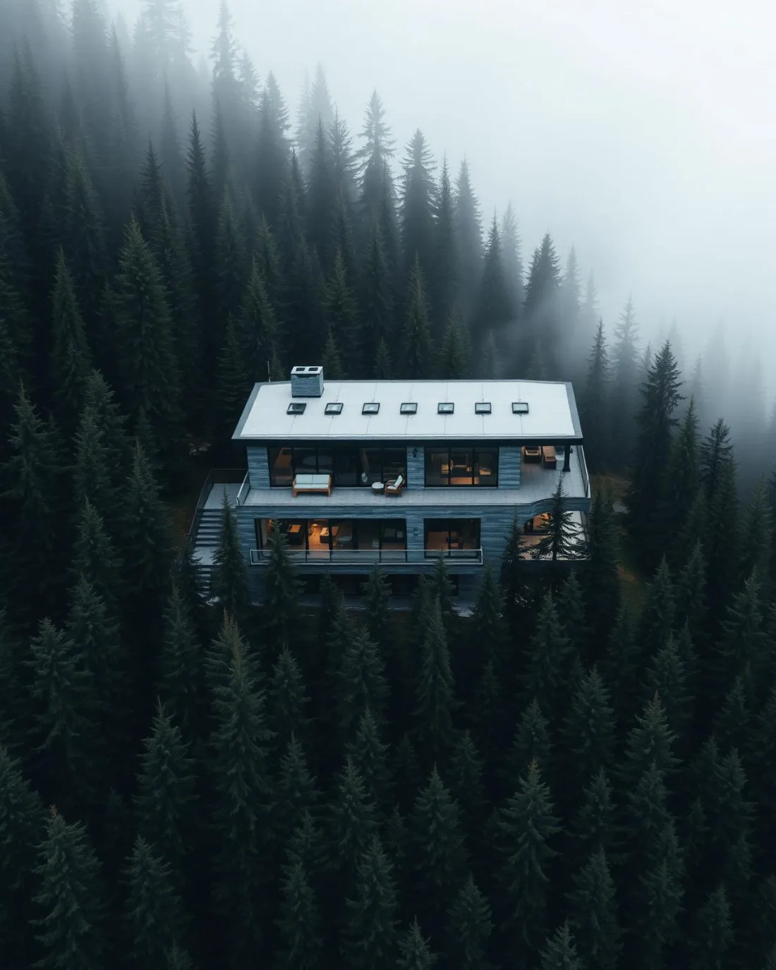
What gets shot in Monterey Park.
- luxury residential
- new build subdivision
- commercial retail
Every subject above is delivered through the same aerial photography and cinematography services, scoped and quoted before the shoot is booked.
What the research actually says.
Industry standard
The National Association of Realtors maintains dedicated guidance on commercial drone use in listing marketing, including the certification and airspace rules an operator must meet.
Aerial media is an established part of listing marketing with real compliance requirements. The question is whether your operator meets them, not whether to use it.
68% faster
Listings marketed with aerial photography have been reported to sell substantially faster than those using ground photography alone.
On a listing carrying monthly holding costs, the weeks removed from time-on-market are the return on the shoot.
Reported by RubyHome, real estate photography research roundup, 2024
40–60% lower
Construction programmes adopting systematic drone survey report reductions of roughly half in surveying cost, alongside faster data collection.
The saving is structural rather than one-off: it applies to every survey cycle across the life of the project.
Reported by Datumate, 2025
Monterey Park and what surrounds it.
- Aerial photography in Temple1 km · Class C control zone (CYYC)
- Aerial photography in Pineridge2 km · Class C control zone (CYYC)
- Aerial photography in Abbeydale2 km · Class C control zone (CYYC)
- Aerial photography in Applewood Park3 km · Class C control zone (CYYC)
- Aerial photography in Bridgeland/Riverside8 km · Class C control zone (CYYC)
How a Monterey Park shoot runs.
- 01Scope and quote. Most Monterey Park work is luxury residential or new build subdivision, and the shot list follows the subject. Mobilisation is stated separately from the fee.
- 02Airspace. Monterey Park sits under Calgary International Airport (CYYC), 6 km away. Authorisation is filed with NAV CANADA and the date is confirmed once it is in hand.
- 03Weather window. Chinook belt, open and exposed. The west wind reaches the community across the full width of the city with no relief left to slow it; the gap between mean wind and gusts sets the flyable window. The chinook cycle rules winter, swinging ground cover from white to brown and back. Summer is steadier — long evening light across the open grade, with late-season wildfire smoke the main threat to contrast.
- 04Shoot day. About 20 minutes from the Calgary base. Launch from the subject property with the owner's permission; drone launches and recoveries in City of Calgary parks, Maitland Green Park included, are restricted under the parks bylaws; flights stage from private property with the client's consent.
- 05Delivery. Edited files delivered digitally — no attendance required at any stage, which is how out-of-province owners of Monterey Park property are served.
Monterey Park questions, answered.
What airspace rules apply to drone work in Monterey Park?
Monterey Park lies about 6 km from Calgary International, inside the CYYC Class C control zone, so flights require an Advanced RPAS certificate and a NAV CANADA authorisation obtained before the shoot is confirmed. Plans also keep clear of the Peter Lougheed Centre heliport approaches, and the site is verified in NAV Drone.
When should a winter listing in Monterey Park be photographed?
In the right week, not on a fixed date. Chinooks cycle the snow cover here repeatedly through winter, so the booking is held flexible and flown when the open ground around Maitland Green Park is cleanly white or fully bare. Twenty minutes from base, that flexibility costs nothing and decides how the listing reads.
Monterey Park is 1 km from Temple.
Every quote starts at the Calgary base, which is why identical subjects in Monterey Park and Temple — 1 km apart — price differently.
Nearby
Coverage
Airspace information last verified . Rules change — every flight is re-checked before it happens.