
Drone photography in Pineridge, Alberta
Pineridge has no terrain to its west — the prairie runs level all the way across the city, so the last hour of sun arrives low and unbroken, raking across the rooflines along Pinecliff Drive NE instead of being cut off early. Shot at mid-day, that flat ground makes every frame look the same — no shadow, no depth, no reason for one listing to stand apart. The light that separates Pineridge houses exists for one short window each evening, and most ground photographers are gone before it opens.
Does Fly4MEdia fly drones in Pineridge?
Yes. Fly4MEdia flies drone photography and cinematography in Pineridge, Alberta. The airspace is Class C control zone (CYYC). An Advanced RPAS certificate covers the flight, with airspace authorisation in place before the booking is confirmed. Typical mobilisation from the Calgary base is 20 minutes.
Pineridge at a glance.
| Base of operations | Calgary, Alberta |
|---|---|
| Drive time from base | 20 minutes |
| Airspace | Class C control zone (CYYC) |
| Nearest aerodrome | Calgary International Airport (CYYC) |
| Authorisation required | Yes — filed before booking is confirmed |
| Flight status | Flown with airspace authorisation |
| Certification | Transport Canada RPAS — Advanced Operations |
| Response | Reply within one business day |
| Airspace last verified | 2026-09-01 |
Flying Pineridge: the ground truth.
Pineridge has no terrain to its west — the prairie runs level all the way across the city, so the last hour of sun arrives low and unbroken, raking across the rooflines along Pinecliff Drive NE instead of being cut off early. Shot at mid-day, that flat ground makes every frame look the same — no shadow, no depth, no reason for one listing to stand apart. The light that separates Pineridge houses exists for one short window each evening, and most ground photographers are gone before it opens.
A golden-hour hold is scheduled against the actual sunset rather than the calendar — the aircraft is up when the low light is doing its work, and the finished set is delivered in the standard turnaround.
Airspace. About 4 km from Calgary International, Pineridge falls inside the CYYC control zone as charted. An Advanced RPAS certificate covers the operation, with the NAV CANADA RPAS authorisation secured before the booking is confirmed. Flight plans here also keep clear of Peter Lougheed Centre heliport, operating about 2 km away. Every flight is preceded by a NAV Drone check of the specific site and altitude. This is a corridor-level assessment; the specific address is confirmed against NAV Drone before every flight.
Terrain. Flat east-side prairie on the city grid. The ground barely moves across the whole community, so what varies from the air is canopy and roofline pattern, not the land.
Wind. Chinook belt with no relief to break the west wind before it arrives. Gust spread decides flyability here, and it can widen quickly on a chinook day.
Light. The flat western horizon gives Pineridge a long, late golden hour in summer. Chinooks strip the snow cover repeatedly through winter, and late-summer wildfire smoke is the main threat to contrast.
On the ground. City of Calgary parks bylaws restrict drone takeoff and landing in municipal parks and pathways, Pinelands Park included, so launches are staged from private property with the client's consent. About 20 minutes from the Calgary base. Same-day scheduling is realistic, and a Pineridge visit pairs naturally with Temple or Rundle next door.
From the reel
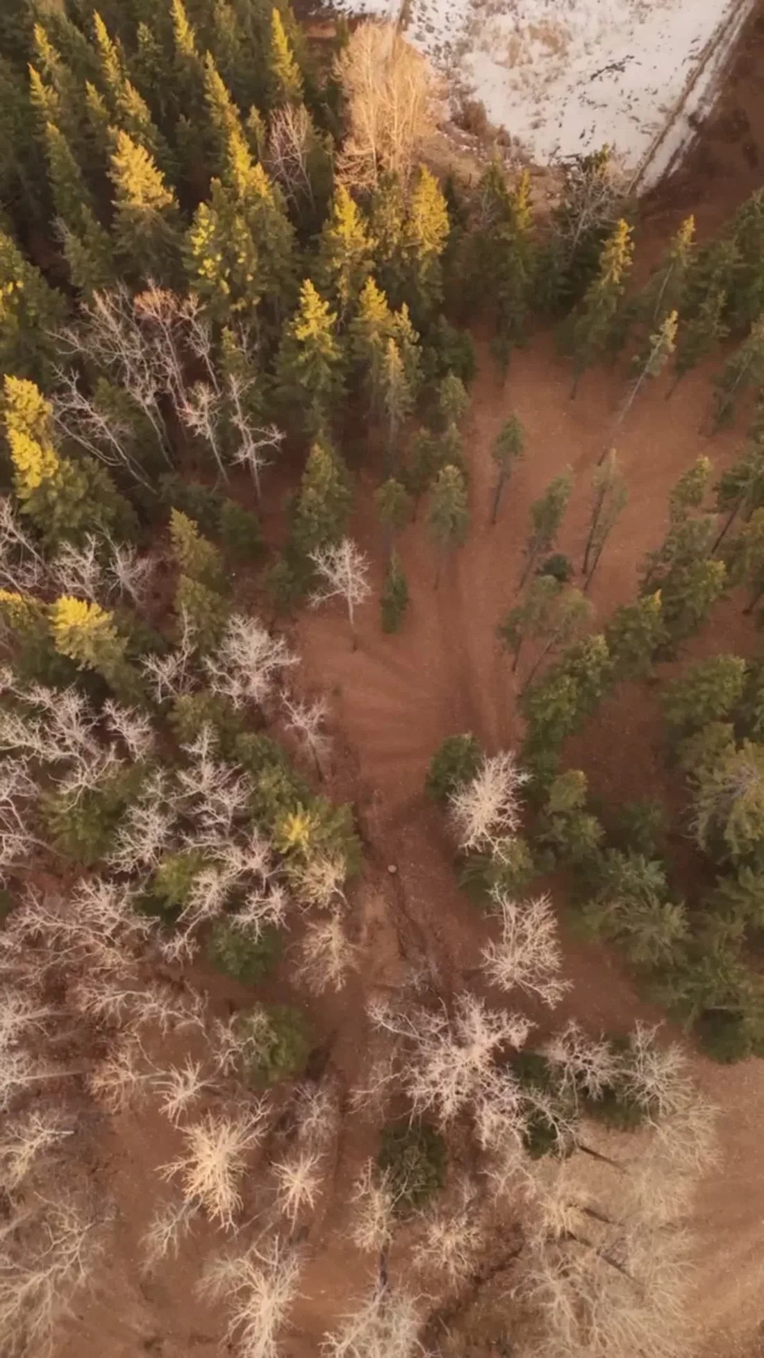
What gets shot in Pineridge.
- luxury residential
- commercial retail
- municipal infrastructure
Every subject above is delivered through the same aerial photography and cinematography services, scoped and quoted before the shoot is booked.
What the research actually says.
30–40% less inventory
Real-time integrity data from aerial inspection programmes is reported to let operators reduce spare-parts inventory by thirty to forty per cent.
Better condition data does not just reduce inspection cost. It releases working capital that was insuring against not knowing.
Reported by Power Engineering, 2025
8 weeks, not 8 months
During post-hurricane restoration in Puerto Rico a drone team pulled 72,000 feet of conductor rope in eight weeks — work previously estimated at six to eight months.
In restoration and outage work the schedule is the cost. Aerial methods change the order of magnitude, not the margin.
Reported by Power Engineering, 2025
Up to 90% lower
An Oklahoma pipeline operator reports remediation cost reductions of up to ninety per cent through early leak detection by drone.
Remediation cost scales with how long a problem ran undetected. Detection frequency is the variable, and aerial capture is what makes frequency affordable.
Reported by Power Engineering, 2025
Pineridge and what surrounds it.
- Aerial photography in Temple1 km · Class C control zone (CYYC)
- Aerial photography in Rundle2 km · Class C control zone (CYYC)
- Aerial photography in Monterey Park2 km · Class C control zone (CYYC)
- Aerial photography in Erin Woods8 km · CYYC control zone edge
- Aerial photography in Abbeydale3 km · Class C control zone (CYYC)
How a Pineridge shoot runs.
- 01Scope and quote. Most Pineridge work is luxury residential or commercial retail, and the shot list follows the subject. Mobilisation is stated separately from the fee.
- 02Airspace. Pineridge sits under Calgary International Airport (CYYC), 4 km away. Authorisation is filed with NAV CANADA and the date is confirmed once it is in hand.
- 03Weather window. Chinook belt with no relief to break the west wind before it arrives. Gust spread decides flyability here, and it can widen quickly on a chinook day. The flat western horizon gives Pineridge a long, late golden hour in summer. Chinooks strip the snow cover repeatedly through winter, and late-summer wildfire smoke is the main threat to contrast.
- 04Shoot day. About 20 minutes from the Calgary base. Launch from the subject property with the owner's permission; city of Calgary parks bylaws restrict drone takeoff and landing in municipal parks and pathways, Pinelands Park included, so launches are staged from private property with the client's consent.
- 05Delivery. Edited files delivered digitally — no attendance required at any stage, which is how out-of-province owners of Pineridge property are served.
Pineridge questions, answered.
Do you need special permission to fly a drone in Pineridge?
Yes. Pineridge sits about 4 km from Calgary International, inside the CYYC Class C control zone, so flights need an Advanced RPAS certificate and a NAV CANADA authorisation. Fly4MEdia holds the certification and files the authorisation before your shoot date is confirmed — it is part of booking, not an extra.
When is the best light for aerial photos in Pineridge?
The last hour before sunset. Pineridge is flat, so mid-day sun leaves frames without shadow or depth. With no terrain to the west, low evening light crosses the community unbroken and rakes across the rooflines — the one window where an ordinary street reads as dimensional from the air.
Does the hospital heliport nearby affect a Pineridge shoot?
It shapes the flight plan rather than blocking it. The Peter Lougheed Centre heliport operates about 2 km away, so routes over Pineridge are planned to stay clear of its approaches. That planning happens before the booking is confirmed, alongside the NAV CANADA authorisation for the CYYC control zone.
Pineridge is 1 km from Temple.
Because mobilisation is quoted from the Calgary base, Pineridge and Temple, 1 km away, carry different quotes for an identical subject.
Nearby
Coverage
Airspace information last verified . Rules change — every flight is re-checked before it happens.