
Drone photography in Morley: what the rules actually allow
The airspace over Morley is uncontrolled, which means a standard airspace check returns a green light and tells you nothing that matters.
Can a drone be flown in Morley?
Fly4MEdia does not fly in Morley. The airspace here is uncontrolled, but the land is Stoney Nakoda Nation land. Flying over it is a matter of consent from the Nation, which is not a Transport Canada or municipal question and cannot be resolved by an airspace check. Aerial work for this area is flown from outside the boundary, and the nearest lawful vantages are identified before anything is quoted.
Morley at a glance.
| Base of operations | Calgary, Alberta |
|---|---|
| Drive time from base | 55 minutes |
| Airspace | Class G uncontrolled airspace over First Nation land |
| Nearest aerodrome | Springbank Airport (CYBW) |
| Authorisation required | No |
| Flight status | Not flown |
| Certification | Transport Canada RPAS — Advanced Operations |
| Response | Reply within one business day |
| Airspace last verified | 2026-08-31 |
Flying Morley: the ground truth.
The airspace over Morley is uncontrolled, which means a standard airspace check returns a green light and tells you nothing that matters. The land is Stoney Nakoda Nation land, and consent to fly over it comes from the Nation — an operator who treats a clear NAV Drone result as permission has skipped the only step that counts.
No work is undertaken here without the Nation's consent, arranged directly and in advance. Where that consent is not in place, the work is declined rather than quietly flown.
Airspace. The airspace here is uncontrolled, but the land is Stoney Nakoda Nation land. Flying over it is a matter of consent from the Nation, which is not a Transport Canada or municipal question and cannot be resolved by an airspace check. This is a corridor-level assessment; the specific address is confirmed against NAV Drone before every flight.
Terrain. Open Bow valley bench land between the foothills and the front ranges, with the river running through it.
Wind. Exposed valley bench with strong chinook funnelling from the west.
Light. Secondary to the consent question, which governs whether any flight happens at all.
On the ground. Stoney Nakoda Nation governs land use. Consent is sought from the Nation directly and is not substitutable with any federal or municipal permission. About 55 minutes west of the Calgary base — but mobilisation is not the question here. Consent is.
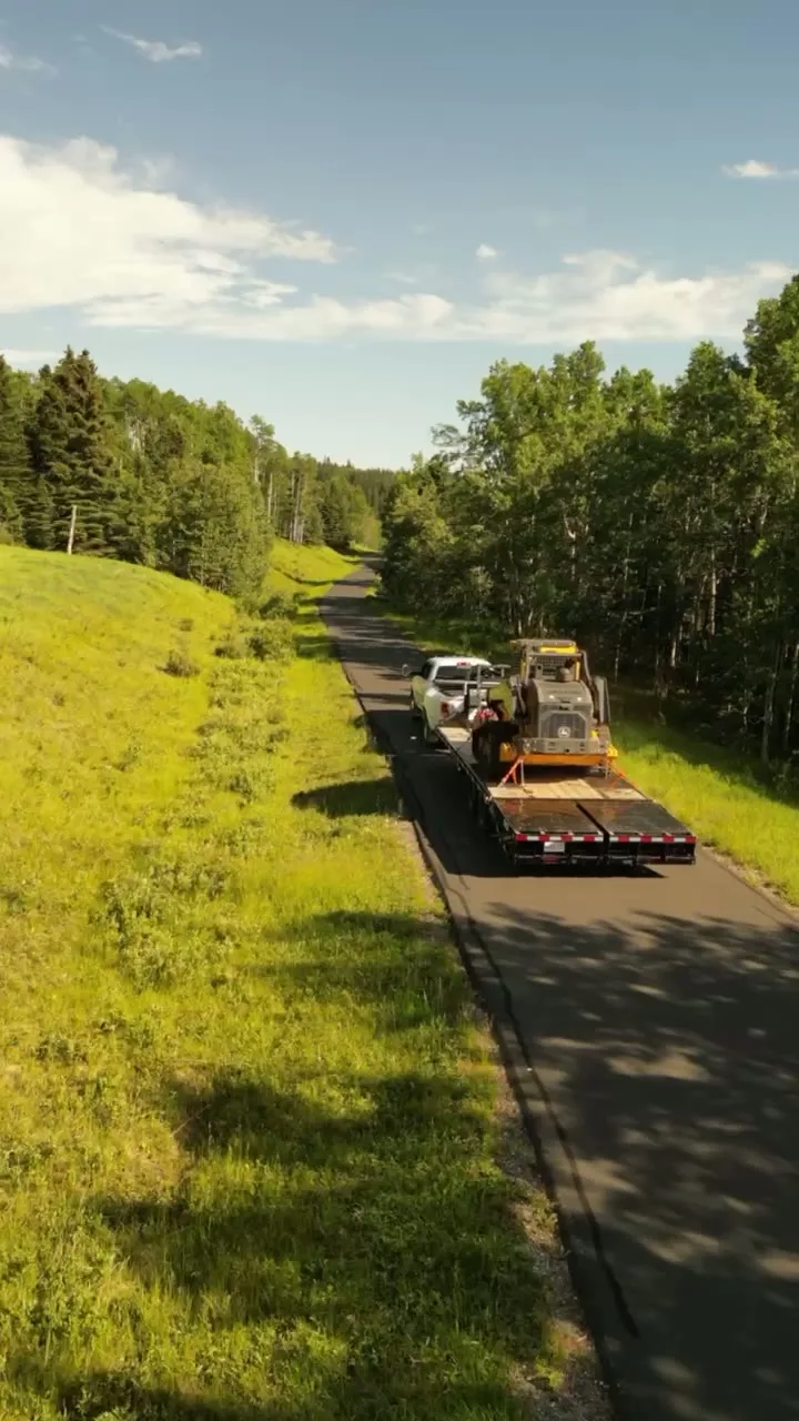
From the reel
What can legally be shot instead.
No work is undertaken here without the Nation's consent, arranged directly and in advance. Where that consent is not in place, the work is declined rather than quietly flown. The nearest locations where aerial work is flown lawfully:
What the research actually says.
USD 9.83 billion
Emergen Research sizes the global drone inspection and monitoring market at nearly ten billion dollars in 2025, growing at a 16.4% compound annual rate.
Aerial capture is a procured category with established vendors and comparable rates, not an experimental line item requiring internal justification.
Emergen Research, 2025
18 days to 4 hours
Marathon Pipe Line cut its response time to potential pipeline issues from eighteen days to four hours using drone inspection, preventing six major incidents in the first year at a reported saving of $8.3 million.
On linear infrastructure the cost is not the inspection. It is the time between a fault existing and anyone knowing about it.
Reported by Power Engineering, 2025
91% less analysis time
Colonial Pipeline reports its drone analytics programme reduced inspection analysis time by 91%, prevented fourteen significant incidents annually and saved $4.2 million in emergency response costs.
Capture is the cheap half. The expensive half is turning imagery into a decision, and that is where the reduction lands.
Reported by Power Engineering, 2025
Morley and what surrounds it.
- Aerial photography in Ghost Lake11 km · Class G uncontrolled
- Aerial photography in Exshaw25 km · Class G uncontrolled
- Aerial photography in Canmore36 km · Class G uncontrolled, adjacent to Banff National Park
- Aerial photography in Cochrane27 km · Class G uncontrolled
- Aerial photography in Kananaskis Village34 km · Provincial park land — Alberta Parks restrictions
Morley questions, answered.
Can you fly a drone over Morley?
Not without the Stoney Nakoda Nation's consent. The airspace itself is uncontrolled, so an airspace check returns clear, but the land is Nation land and permission to operate over it comes from the Nation directly.
Does a clear NAV Drone result mean you can fly anywhere?
No. NAV Drone answers an airspace question only. Land ownership, First Nation jurisdiction, park regimes and municipal bylaws all sit outside it, and each can prohibit a flight that the airspace check permits.
Who grants permission to fly over First Nation land?
The Nation itself. It is not a Transport Canada, provincial or municipal decision, and no level of RPAS certification substitutes for it. Where consent is not in place, the work is declined.
Morley is 11 km from Ghost Lake.
Because mobilisation is quoted from the Calgary base, Morley and Ghost Lake, 11 km away, carry different quotes for an identical subject.
Nearby
Coverage
Airspace information last verified . Rules change — every flight is re-checked before it happens.