
Drone photography in Ranchlands, Alberta
Ranchlands was planned before Calgary started building its suburbs around water, and from the air the difference is plain — no pond or creek anchors the frame, just rolling streets running toward the grassland of Nose Hill Park. An operator who leans on the default suburban formula — pond reflection at golden hour — arrives here with a shot list the geography cannot honour.
Does Fly4MEdia fly drones in Ranchlands?
Yes. Fly4MEdia flies drone photography and cinematography in Ranchlands, Alberta. The airspace is CYYC control zone edge. An Advanced RPAS certificate covers the flight, with airspace authorisation in place before the booking is confirmed. From the Calgary base, mobilisation is typically 20 minutes.
Ranchlands at a glance.
| Base of operations | Calgary, Alberta |
|---|---|
| Drive time from base | 20 minutes |
| Airspace | CYYC control zone edge |
| Nearest aerodrome | Calgary International Airport (CYYC) |
| Authorisation required | Yes — filed before booking is confirmed |
| Flight status | Flown with airspace authorisation |
| Certification | Transport Canada RPAS — Advanced Operations |
| Response | Reply within one business day |
| Airspace last verified | 2026-09-01 |
Flying Ranchlands: the ground truth.
Ranchlands was planned before Calgary started building its suburbs around water, and from the air the difference is plain — no pond or creek anchors the frame, just rolling streets running toward the grassland of Nose Hill Park. An operator who leans on the default suburban formula — pond reflection at golden hour — arrives here with a shot list the geography cannot honour.
Composition is built from what the community actually offers: a boundary-line orbit that sets the rolling streets against Nose Hill Park's grassland, flown in low light and delivered in the standard turnaround.
Airspace. Ranchlands is about 10 km from Calgary International, near the CYYC control zone's charted boundary; a single address can fall either side of the line. The default plan treats it as controlled airspace until NAV Drone confirms otherwise, with authorisation filed before booking wherever it is required. The specific site and altitude are confirmed against NAV Drone before every flight. This is a corridor-level assessment; the specific address is confirmed against NAV Drone before every flight.
Terrain. Rolling former ranchland west of Nose Hill Park; streets follow the contour lines, and green corridors rather than water thread the community together.
Wind. Chinook belt on open upland. There is no named valley or ridge to bend the flow here — wind arrives much as forecast, which at least makes the go or no-go call a clean one.
Light. Green-up is brief on this dry upland — parks and lawns hold colour into summer while the grassland beyond turns gold early. Fresh snow simplifies the frame and makes the contour roll of the streets legible.
On the ground. City of Calgary parks bylaws restrict drone launches in municipal parks, the off-leash grounds included, so takeoff is planned from private property with consent. About 20 minutes from the base. A straightforward same-day candidate, with Edgemont, Citadel and Hamptons nearby for paired bookings.
From the reel
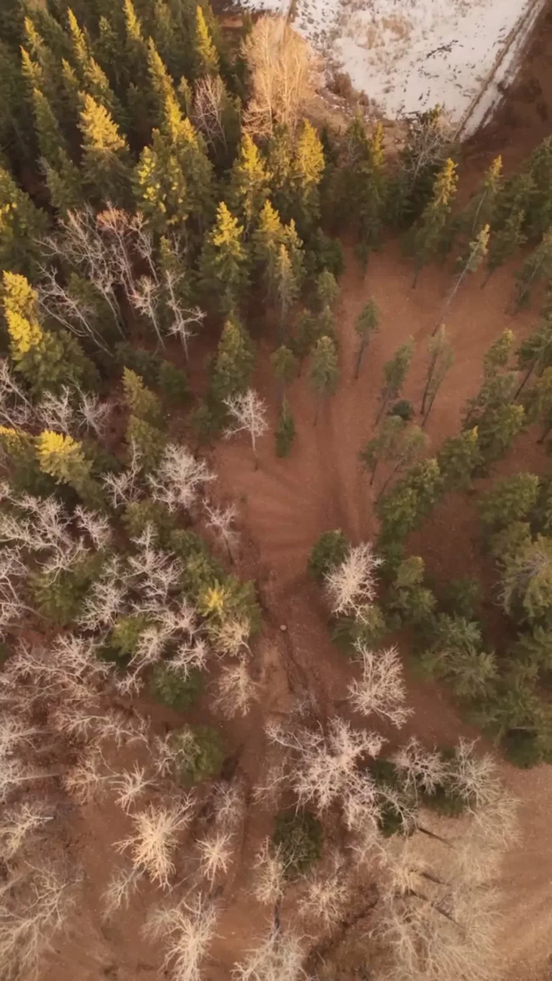
What gets shot in Ranchlands.
- luxury residential
- commercial retail
Every subject above is delivered through the same aerial photography and cinematography services, scoped and quoted before the shoot is booked.
What the research actually says.
Advanced certificate
Transport Canada requires a Pilot Certificate for Advanced Operations to fly a remotely piloted aircraft in controlled airspace or near bystanders.
Most of Calgary sits inside the CYYC control zone. An operator without this certificate cannot legally fly the majority of addresses in the city.
Transport Canada, 2025
Industry standard
The National Association of Realtors maintains dedicated guidance on commercial drone use in listing marketing, including the certification and airspace rules an operator must meet.
Aerial media is an established part of listing marketing with real compliance requirements. The question is whether your operator meets them, not whether to use it.
403% more enquiries
Listings that include video have been reported to receive several times the enquiry volume of listings without it.
Enquiry volume is the top of the funnel. A listing that starts more conversations closes from a larger pool.
Reported by RubyHome, real estate photography research roundup, 2024
Ranchlands and what surrounds it.
- Aerial photography in Edgemont1 km · Class C control zone (CYYC)
- Aerial photography in Citadel2 km · CYYC control zone edge
- Aerial photography in Hamptons2 km · Class C control zone (CYYC)
- Aerial photography in Arbour Lake3 km · CYYC control zone edge
- Aerial photography in Banff Trail6 km · Class C control zone (CYYC)
How a Ranchlands shoot runs.
- 01Scope and quote. Most Ranchlands work is luxury residential or commercial retail, and the shot list follows the subject. Mobilisation is stated separately from the fee.
- 02Airspace. Ranchlands sits under Calgary International Airport (CYYC), 10 km away. Authorisation is filed with NAV CANADA and the date is confirmed once it is in hand.
- 03Weather window. Chinook belt on open upland. There is no named valley or ridge to bend the flow here — wind arrives much as forecast, which at least makes the go or no-go call a clean one. Green-up is brief on this dry upland — parks and lawns hold colour into summer while the grassland beyond turns gold early. Fresh snow simplifies the frame and makes the contour roll of the streets legible.
- 04Shoot day. About 20 minutes from the Calgary base. Launch from the subject property with the owner's permission; city of Calgary parks bylaws restrict drone launches in municipal parks, the off-leash grounds included, so takeoff is planned from private property with consent.
- 05Delivery. Edited files delivered digitally — no attendance required at any stage, which is how out-of-province owners of Ranchlands property are served.
Ranchlands questions, answered.
What airspace applies to drone flights in Ranchlands?
Ranchlands lies about 10 km from Calgary International, near the charted boundary of the CYYC control zone — close enough that the specific address decides whether authorisation applies. Fly4MEdia plans the flight as controlled airspace until NAV Drone shows otherwise for the site, and files any required authorisation before the date is booked.
Ranchlands has no lake — what anchors an aerial photo here?
The green structure does. With no open water in the frame, composition leans on the community's park spine — Ranchlands Off-Leash Park and the community centre grounds — and on Nose Hill Park's grassland as a backdrop. Those anchors photograph best in low light, when shadow gives the rolling ground its shape.
Ranchlands is 1 km from Edgemont.
Every quote starts at the Calgary base, which is why identical subjects in Ranchlands and Edgemont — 1 km apart — price differently.
Nearby
Coverage
Airspace information last verified . Rules change — every flight is re-checked before it happens.