
Drone photography in Edgemont, Alberta
Edgemont is laid out around the Edgemont Ravines — the streets bend to follow the green cuts instead of crossing them, so from above the community reads as ridges of roofline separated by ravine. Ground photography sees only the streetscape. A walkout backing onto ravine looks like any other house from the kerb, and its best feature never enters the frame.
Does Fly4MEdia fly drones in Edgemont?
Yes. Fly4MEdia flies drone photography and cinematography in Edgemont, Alberta. The airspace is Class C control zone (CYYC). Flights are conducted under an Advanced RPAS certificate with airspace authorisation filed before the shoot is confirmed. Typical mobilisation from the Calgary base is 20 minutes.
Edgemont at a glance.
| Base of operations | Calgary, Alberta |
|---|---|
| Drive time from base | 20 minutes |
| Airspace | Class C control zone (CYYC) |
| Nearest aerodrome | Calgary International Airport (CYYC) |
| Authorisation required | Yes — filed before booking is confirmed |
| Flight status | Flown with airspace authorisation |
| Certification | Transport Canada RPAS — Advanced Operations |
| Response | Reply within one business day |
| Airspace last verified | 2026-09-01 |
Flying Edgemont: the ground truth.
Edgemont is laid out around the Edgemont Ravines — the streets bend to follow the green cuts instead of crossing them, so from above the community reads as ridges of roofline separated by ravine. Ground photography sees only the streetscape. A walkout backing onto ravine looks like any other house from the kerb, and its best feature never enters the frame.
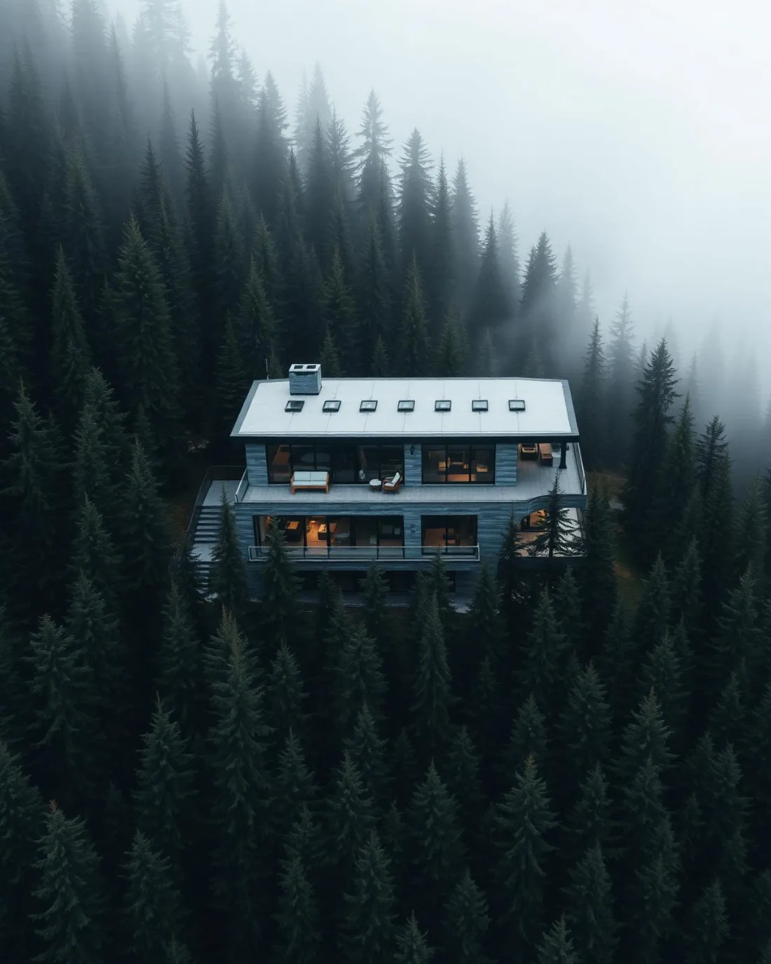
A rising reveal from ravine grade to roofline shows the drop the home is built against, delivered in the standard turnaround.
Airspace. Edgemont sits about 10 km from Calgary International, inside the CYYC control zone as charted. Flights here are conducted under an Advanced RPAS certificate with a NAV CANADA RPAS authorisation obtained before the shoot is confirmed. Flight plans here also keep clear of Alberta Children's Hospital heliport, operating about 5 km away. Before any flight, the exact site and altitude are checked against NAV Drone. This is a corridor-level assessment; the specific address is confirmed against NAV Drone before every flight.
Terrain. High rolling ground on the northwest shoulder of the city, cut by ravines that drain toward lower communities, with Nose Hill Park rising across the southeast edge.
Wind. Chinook belt, and elevated with it. The ravines give individual properties pockets of shelter, but the community's upper streets take the west wind unbroken.
Light. Snow lingers in the shaded ravine bottoms after the rooflines are clear, which gives late-winter frames strong graphic contrast; green-up runs the other way, bottoms first.
On the ground. City of Calgary parks bylaws restrict takeoff and landing in parks, ravines and pathway corridors, so Edgemont launches are staged from private property with the client's consent. About 20 minutes from the base — an easy same-day booking, often paired with Hamptons or Hidden Valley on the same trip.
From the reel
What gets shot in Edgemont.
- luxury residential
- commercial retail
- municipal infrastructure
Every subject above is delivered through the same aerial photography and cinematography services, scoped and quoted before the shoot is booked.
What the research actually says.
Up to 90% lower
An Oklahoma pipeline operator reports remediation cost reductions of up to ninety per cent through early leak detection by drone.
Remediation cost scales with how long a problem ran undetected. Detection frequency is the variable, and aerial capture is what makes frequency affordable.
Reported by Power Engineering, 2025
40–60% lower
Construction programmes adopting systematic drone survey report reductions of roughly half in surveying cost, alongside faster data collection.
The saving is structural rather than one-off: it applies to every survey cycle across the life of the project.
Reported by Datumate, 2025
30–40% less inventory
Real-time integrity data from aerial inspection programmes is reported to let operators reduce spare-parts inventory by thirty to forty per cent.
Better condition data does not just reduce inspection cost. It releases working capital that was insuring against not knowing.
Reported by Power Engineering, 2025
Edgemont and what surrounds it.
- Aerial photography in Hamptons2 km · Class C control zone (CYYC)
- Aerial photography in Hidden Valley3 km · Class C control zone (CYYC)
- Aerial photography in Ranchlands1 km · CYYC control zone edge
- Aerial photography in Arbour Lake4 km · CYYC control zone edge
- Aerial photography in Banff Trail5 km · Class C control zone (CYYC)
How an Edgemont shoot runs.
- 01Scope and quote. Most Edgemont work is luxury residential or commercial retail, and the shot list follows the subject. Mobilisation is stated separately from the fee.
- 02Airspace. Edgemont sits under Calgary International Airport (CYYC), 10 km away. Authorisation is filed with NAV CANADA and the date is confirmed once it is in hand.
- 03Weather window. Chinook belt, and elevated with it. The ravines give individual properties pockets of shelter, but the community's upper streets take the west wind unbroken. Snow lingers in the shaded ravine bottoms after the rooflines are clear, which gives late-winter frames strong graphic contrast; green-up runs the other way, bottoms first.
- 04Shoot day. About 20 minutes from the Calgary base. Launch from the subject property with the owner's permission; city of Calgary parks bylaws restrict takeoff and landing in parks, ravines and pathway corridors, so Edgemont launches are staged from private property with the client's consent.
- 05Delivery. Edited files delivered digitally — no attendance required at any stage, which is how out-of-province owners of Edgemont property are served.
Edgemont questions, answered.
Does a drone shoot in Edgemont need special authorisation?
Yes. Edgemont sits about 10 km from Calgary International inside the CYYC Class C control zone, and the Alberta Children's Hospital heliport operates about 5 km away. Fly4MEdia flies under an Advanced RPAS certificate, files NAV CANADA authorisation before confirming the date, and keeps clear of the heliport approaches.
Why do Edgemont walkout homes benefit from aerial photography?
Because the ravines are the point. Edgemont's housing is built along green cuts, and a walkout's position above ravine is invisible from the street. An aerial frame restores that relationship — house, drop and green corridor in one image — which is usually the property's strongest selling argument.
Edgemont is 2 km from Hamptons.
Mobilisation is quoted from the Calgary base, so a shoot in Edgemont and one 2 km away in Hamptons are priced differently even when the subject is identical.
Nearby
Coverage
Airspace information last verified . Rules change — every flight is re-checked before it happens.