
Drone photography in Seton, Alberta
Seton is the dry heart of Calgary's lake district: climb above Seton Boulevard SE and engineered water appears on the horizon in nearly every direction — Auburn Bay to the north, Mahogany to the northeast — while Seton itself keeps to hard surfaces and rooflines. None of that context survives a ground-level campaign, and a careless aerial one over-claims it — implying lakefront a Seton address does not have.
Does Fly4MEdia fly drones in Seton?
Yes. Fly4MEdia flies drone photography and cinematography in Seton, Alberta. The airspace is Class G uncontrolled. Authorisation is not normally required in this airspace. Typical mobilisation from the Calgary base is 25 minutes.
Seton at a glance.
| Base of operations | Calgary, Alberta |
|---|---|
| Drive time from base | 25 minutes |
| Airspace | Class G uncontrolled |
| Nearest aerodrome | Kirkby Field (Indus) |
| Authorisation required | No |
| Flight status | Flown routinely |
| Certification | Transport Canada RPAS — Advanced Operations |
| Response | Reply within one business day |
| Airspace last verified | 2026-09-01 |
Flying Seton: the ground truth.
Seton is the dry heart of Calgary's lake district: climb above Seton Boulevard SE and engineered water appears on the horizon in nearly every direction — Auburn Bay to the north, Mahogany to the northeast — while Seton itself keeps to hard surfaces and rooflines. None of that context survives a ground-level campaign, and a careless aerial one over-claims it — implying lakefront a Seton address does not have.
An orbit planned to place the neighbouring water truthfully on the horizon — behind South Health Campus or the Township Shopping frontage — gives a listing its setting without overselling it, delivered in the standard turnaround.
Airspace. Seton sits in uncontrolled Class G airspace, clear of the charted Calgary-area control zones and about 8 km from Kirkby Field (Indus). Authorisation is not normally required here. Flight plans here also keep clear of South Health Campus heliport, operating about 0 km away. Before any flight, the exact site and altitude are checked against NAV Drone. This is a corridor-level assessment; the specific address is confirmed against NAV Drone before every flight.
Terrain. A flat prairie table at Calgary's southern edge, built out at urban scale — wide arterial blocks around South Health Campus and the Township Shopping frontage, with new residential streets filling in behind them.
Wind. Chinook belt. The district's wide, flat blocks offer no terrain shelter, so a west wind crosses Seton at full strength; in winter the gust spread, not the average speed, decides whether a flight goes ahead.
Light. Flat and open, so snow leaves the district quickly after a chinook and low winter sun throws long, clean shadows across the retail blocks. Summer evenings give the best light on glass and rooflines; late-summer wildfire smoke is the main contrast risk.
On the ground. City of Calgary parks bylaws restrict drone takeoff and landing in municipal parks and on pathways, so Seton launches are staged from private property with the client's consent. About 25 minutes from the Calgary base. Same-day scheduling is realistic in routine airspace, and a Seton visit pairs naturally with Auburn Bay, Mahogany or Walden on a single mobilisation.
From the reel
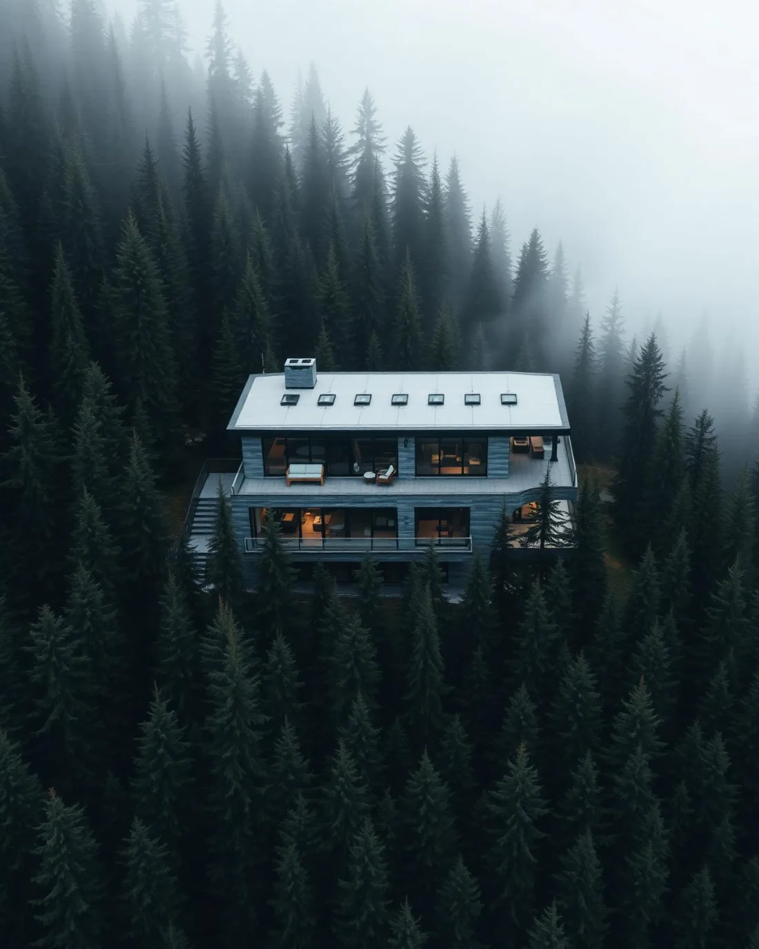
What gets shot in Seton.
- commercial retail
- construction progress
- new build subdivision
- municipal infrastructure
Every subject above is delivered through the same aerial photography and cinematography services, scoped and quoted before the shoot is booked.
What the research actually says.
30% more
McKinsey research cited across the inspection sector finds that organisations relying on manual inspection spend materially more on maintenance and safety than those using drone-based assessment.
For a portfolio of assets, the inspection method is a recurring cost line, not a one-off purchase. The differential compounds annually.
Reported by McKinsey & Company, cited by Averroes, 2025
Advanced certificate
Transport Canada requires a Pilot Certificate for Advanced Operations to fly a remotely piloted aircraft in controlled airspace or near bystanders.
Most of Calgary sits inside the CYYC control zone. An operator without this certificate cannot legally fly the majority of addresses in the city.
Transport Canada, 2025
30–40% less inventory
Real-time integrity data from aerial inspection programmes is reported to let operators reduce spare-parts inventory by thirty to forty per cent.
Better condition data does not just reduce inspection cost. It releases working capital that was insuring against not knowing.
Reported by Power Engineering, 2025
Seton and what surrounds it.
- Aerial photography in Auburn Bay2 km · Class G uncontrolled
- Aerial photography in Mahogany2 km · Class G uncontrolled
- Aerial photography in Walden3 km · Class G uncontrolled
- Aerial photography in Acadia13 km · Class G uncontrolled
- Aerial photography in Albert Park16 km · CYYC control zone edge
How a Seton shoot runs.
- 01Scope and quote. Most Seton work is commercial retail or construction progress, and the shot list follows the subject. Mobilisation is stated separately from the fee.
- 02Airspace. Checked against NAV Drone from the address, not the postcode. Seton is class g uncontrolled, so authorisation is not normally required — but Kirkby Field (Indus) is 8 km away and its circuit is plotted regardless.
- 03Weather window. Chinook belt. The district's wide, flat blocks offer no terrain shelter, so a west wind crosses Seton at full strength; in winter the gust spread, not the average speed, decides whether a flight goes ahead. Flat and open, so snow leaves the district quickly after a chinook and low winter sun throws long, clean shadows across the retail blocks. Summer evenings give the best light on glass and rooflines; late-summer wildfire smoke is the main contrast risk.
- 04Shoot day. About 25 minutes from the Calgary base. Launch from the subject property with the owner's permission; city of Calgary parks bylaws restrict drone takeoff and landing in municipal parks and on pathways, so Seton launches are staged from private property with the client's consent.
- 05Delivery. Edited files delivered digitally — no attendance required at any stage, which is how out-of-province owners of Seton property are served.
Seton questions, answered.
Does the South Health Campus heliport restrict drone flights in Seton?
It shapes them without stopping them. Seton sits in uncontrolled Class G airspace, about 8 km from Kirkby Field at Indus, so no authorisation is normally required — but the hospital heliport operates inside the community, so every flight plan keeps clear of its approaches and is confirmed against NAV Drone first.
Can an aerial shoot make Seton read as a lake community?
Only honestly. Seton has no lake of its own, but Auburn Bay and Mahogany sit close enough that their water lands on the horizon of a well-planned frame. The orbit is set so the water reads as context, not frontage — the listing gains its setting without a claim it cannot keep.
How practical is Seton for repeat construction progress flights?
Very. The drive from the Calgary base runs about 25 minutes, the airspace is routine, and the same flight plan can be reflown on each visit so a progress series stays comparable frame to frame. A Seton visit also pairs with Auburn Bay, Mahogany or Walden on one mobilisation.
Seton is 2 km from Auburn Bay.
Mobilisation is quoted from the Calgary base, so a shoot in Seton and one 2 km away in Auburn Bay are priced differently even when the subject is identical.
Nearby
Coverage
Airspace information last verified . Rules change — every flight is re-checked before it happens.