
Drone photography in Silverhorn, Alberta
Irrigated turf keeps its own calendar: the fairways of Glendale Golf & Country Club green up ahead of the surrounding grassland in spring and hold their colour after it cures to brown, so from the air the season around Silverhorn is legible at a glance. A listing shot a few weeks late sets an emerald lawn inside a cured brown frame, and the contrast a buyer notices is not the one the seller intended. From the ground the change is easy to miss; from altitude it dominates the composition.
Does Fly4MEdia fly drones in Silverhorn?
Yes. Fly4MEdia flies drone photography and cinematography in Silverhorn, Alberta. The airspace is CYYC control zone edge. Work here flies under an Advanced RPAS certificate, and the airspace authorisation is filed before any shoot date is confirmed. From the Calgary base, mobilisation is typically 25 minutes.
Silverhorn at a glance.
| Base of operations | Calgary, Alberta |
|---|---|
| Drive time from base | 25 minutes |
| Airspace | CYYC control zone edge |
| Nearest aerodrome | Calgary International Airport (CYYC) |
| Authorisation required | Yes — filed before booking is confirmed |
| Flight status | Flown with airspace authorisation |
| Certification | Transport Canada RPAS — Advanced Operations |
| Response | Reply within one business day |
| Airspace last verified | 2026-09-01 |
Flying Silverhorn: the ground truth.
Irrigated turf keeps its own calendar: the fairways of Glendale Golf & Country Club green up ahead of the surrounding grassland in spring and hold their colour after it cures to brown, so from the air the season around Silverhorn is legible at a glance. A listing shot a few weeks late sets an emerald lawn inside a cured brown frame, and the contrast a buyer notices is not the one the seller intended. From the ground the change is easy to miss; from altitude it dominates the composition.
The date is set against the ground rather than the calendar — flown in the weeks when lawn, shelterbelt and grassland agree — as an approach run that resolves into a slow rise over the house, delivered in the standard turnaround.
Airspace. At about 20 km from Calgary International, Silverhorn runs close to the charted edge of the CYYC control zone — which side of the line an address falls on decides the paperwork. Planning treats it as controlled airspace until NAV Drone shows otherwise, and any required authorisation is filed before the date is booked. Every flight is preceded by a NAV Drone check of the specific site and altitude. This is a corridor-level assessment; the specific address is confirmed against NAV Drone before every flight.
Terrain. Gently rolling estate country on the Bearspaw upland: large manicured parcels, young plantings set against older shelterbelts, and open grassland running between them, so the land reads from the air as a patchwork of managed and native ground.
Wind. Chinook belt, open upland exposure. West wind crosses this ground with little to break it, and the gust spread — not the average speed — decides whether a stable hold is flyable.
Light. Spring green-up and the autumn turn are the two strongest windows: young plantings and mature belts change on different schedules, and the weeks when they align flatter an estate most. Midwinter flattens the palette, though snow makes parcel boundaries read cleanly.
On the ground. Municipal land here falls under Rocky View County park and roadway rules; the default is to launch from the subject property with the owner's consent. About 25 minutes from the Calgary base via Bearspaw Road. Same-day work is realistic once weather and authorisation align, and Watermark, Bearspaw and Church Ranches sit minutes away for a combined booking.
From the reel
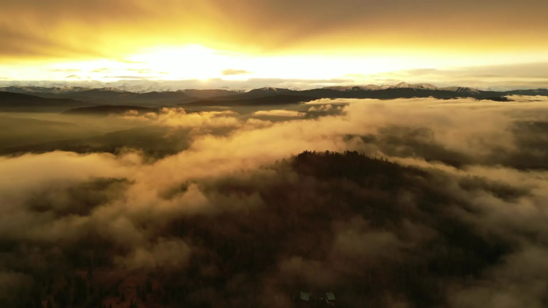
What gets shot in Silverhorn.
- acreage estate
- luxury residential
Every subject above is delivered through the same aerial photography and cinematography services, scoped and quoted before the shoot is booked.
What the research actually says.
68% faster
Listings marketed with aerial photography have been reported to sell substantially faster than those using ground photography alone.
On a listing carrying monthly holding costs, the weeks removed from time-on-market are the return on the shoot.
Reported by RubyHome, real estate photography research roundup, 2024
403% more enquiries
Listings that include video have been reported to receive several times the enquiry volume of listings without it.
Enquiry volume is the top of the funnel. A listing that starts more conversations closes from a larger pool.
Reported by RubyHome, real estate photography research roundup, 2024
Industry standard
The National Association of Realtors maintains dedicated guidance on commercial drone use in listing marketing, including the certification and airspace rules an operator must meet.
Aerial media is an established part of listing marketing with real compliance requirements. The question is whether your operator meets them, not whether to use it.
Silverhorn and what surrounds it.
- Aerial photography in Watermark at Bearspaw2 km · CYYC control zone edge
- Aerial photography in Bearspaw3 km · Mixed — CYBW control zone boundary
- Aerial photography in Church Ranches2 km · Class C control zone (CYBW)
- Aerial photography in Cochrane14 km · Class G uncontrolled
- Aerial photography in Crestmont4 km · CYYC control zone edge
How a Silverhorn shoot runs.
- 01Scope and quote. Most Silverhorn work is acreage estate or luxury residential, and the shot list follows the subject. Mobilisation is stated separately from the fee.
- 02Airspace. Silverhorn sits under Calgary International Airport (CYYC), 20 km away. Authorisation is filed with NAV CANADA and the date is confirmed once it is in hand.
- 03Weather window. Chinook belt, open upland exposure. West wind crosses this ground with little to break it, and the gust spread — not the average speed — decides whether a stable hold is flyable. Spring green-up and the autumn turn are the two strongest windows: young plantings and mature belts change on different schedules, and the weeks when they align flatter an estate most. Midwinter flattens the palette, though snow makes parcel boundaries read cleanly.
- 04Shoot day. About 25 minutes from the Calgary base. Launch from the subject property with the owner's permission; municipal land here falls under Rocky View County park and roadway rules; the default is to launch from the subject property with the owner's consent.
- 05Delivery. Edited files delivered digitally — no attendance required at any stage, which is how out-of-province owners of Silverhorn property are served.
Silverhorn questions, answered.
Does flying at Silverhorn require NAV CANADA authorisation?
Treat it as required. Silverhorn sits about 20 km from Calgary International, near the charted boundary of the CYYC control zone — close enough that which side of the line an address falls on decides the paperwork. Each site is checked against NAV Drone, and any required authorisation is filed before the date is booked.
What time of year photographs a Silverhorn estate best?
The shoulder weeks. In spring the irrigated lawns and fairways green up before the native grassland; in autumn the shelterbelts turn while the turf holds colour. Either window gives an estate contrast against its surroundings. Midsummer can render everything a single green, and midwinter trades colour for clean boundary lines.
Can a Silverhorn shoot be combined with a neighbouring community?
Yes. Silverhorn sits about 25 minutes from the Calgary base, within minutes of Watermark at Bearspaw and Church Ranches, and airspace planning is handled the same way across the area — checked against NAV Drone and filed before booking. Photographing two or more properties on one mobilisation is routine and usually the most efficient way to schedule.
Silverhorn is 2 km from Watermark at Bearspaw.
Because mobilisation is quoted from the Calgary base, Silverhorn and Watermark at Bearspaw, 2 km away, carry different quotes for an identical subject.
Nearby
Coverage
Airspace information last verified . Rules change — every flight is re-checked before it happens.