
Drone photography in St. Andrews Heights, Alberta
The 'Heights' is measurable from the air: St. Andrews Heights ends in an escarpment above the Bow River Pathway, with a full bench of drop between the back streets and the water below. Ground photography records a quiet grid and nothing else. The elevation — the reason these blocks carry the value they do — sits entirely below the camera's line of sight.
Does Fly4MEdia fly drones in St. Andrews Heights?
Yes. Fly4MEdia flies drone photography and cinematography in St. Andrews Heights, Alberta. The airspace is CYYC control zone edge. Work here flies under an Advanced RPAS certificate, and the airspace authorisation is filed before any shoot date is confirmed. Typical mobilisation from the Calgary base is 15 minutes.
St. Andrews Heights at a glance.
| Base of operations | Calgary, Alberta |
|---|---|
| Drive time from base | 15 minutes |
| Airspace | CYYC control zone edge |
| Nearest aerodrome | Calgary International Airport (CYYC) |
| Authorisation required | Yes — filed before booking is confirmed |
| Flight status | Flown with airspace authorisation |
| Certification | Transport Canada RPAS — Advanced Operations |
| Response | Reply within one business day |
| Airspace last verified | 2026-09-01 |
Flying St. Andrews Heights: the ground truth.
The 'Heights' is measurable from the air: St. Andrews Heights ends in an escarpment above the Bow River Pathway, with a full bench of drop between the back streets and the water below. Ground photography records a quiet grid and nothing else. The elevation — the reason these blocks carry the value they do — sits entirely below the camera's line of sight.
A rising reveal off the escarpment edge restores the drop, the river and the valley in one continuous move, delivered in the standard turnaround.
Airspace. At about 11 km from Calgary International, St. Andrews Heights runs close to the charted edge of the CYYC control zone — which side of the line an address falls on decides the paperwork. Planning treats it as controlled airspace until NAV Drone shows otherwise, and any required authorisation is filed before the date is booked. Every flight is preceded by a NAV Drone check of the specific site and altitude. This is a corridor-level assessment; the specific address is confirmed against NAV Drone before every flight.
Terrain. An escarpment-edge bench: level, tree-lined streets off St. Andrews Place NW that end where the ground breaks away to the Bow River Pathway and the flats along the water.
Wind. Chinook belt, sharpened by the valley: west wind funnels along the Bow and climbs the escarpment face, so the edge is flown on its own wind reading, not the citywide forecast.
Light. Evening light travels the valley and lights the escarpment face late — the community's best window. Spring green-up runs up the slope over a couple of weeks, valley floor first, bench last.
On the ground. Calgary's parks bylaws restrict drone takeoff and landing on municipal park land and pathways, so St. Andrews Heights flights launch from private property with the client's consent. About 15 minutes from the Calgary base — short-notice friendly, and readily combined with Parkdale, Point McKay or University Heights in a single visit.
From the reel
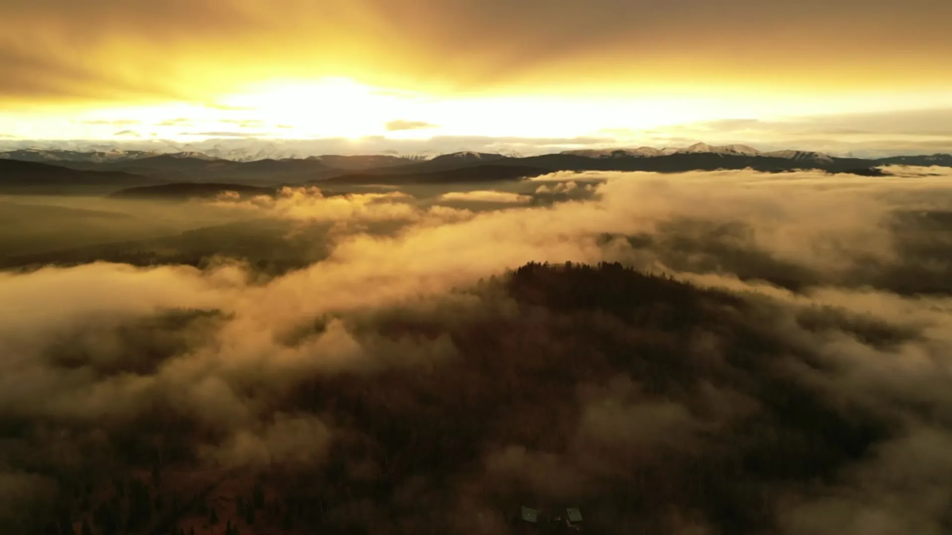
What gets shot in St. Andrews Heights.
- luxury residential
- construction progress
- municipal infrastructure
Every subject above is delivered through the same aerial photography and cinematography services, scoped and quoted before the shoot is booked.
What the research actually says.
30% more
McKinsey research cited across the inspection sector finds that organisations relying on manual inspection spend materially more on maintenance and safety than those using drone-based assessment.
For a portfolio of assets, the inspection method is a recurring cost line, not a one-off purchase. The differential compounds annually.
Reported by McKinsey & Company, cited by Averroes, 2025
91% less analysis time
Colonial Pipeline reports its drone analytics programme reduced inspection analysis time by 91%, prevented fourteen significant incidents annually and saved $4.2 million in emergency response costs.
Capture is the cheap half. The expensive half is turning imagery into a decision, and that is where the reduction lands.
Reported by Power Engineering, 2025
Over $40,000
The National Safety Council puts the average cost of a single workplace injury above forty thousand dollars, before any legal exposure.
Aerial capture removes the requirement to put a person at height or in a confined space to obtain the same image. That is a risk transfer, not a convenience.
Reported by National Safety Council, cited by DSLRPros, 2025
St. Andrews Heights and what surrounds it.
- Aerial photography in Parkdale1 km · Class C control zone (CYYC)
- Aerial photography in Point McKay1 km · Class C control zone (CYYC)
- Aerial photography in University Heights2 km · Class C control zone (CYYC)
- Aerial photography in Arbour Lake9 km · CYYC control zone edge
- Aerial photography in Banff Trail2 km · Class C control zone (CYYC)
How a St. Andrews Heights shoot runs.
- 01Scope and quote. Most St. Andrews Heights work is luxury residential or construction progress, and the shot list follows the subject. Mobilisation is stated separately from the fee.
- 02Airspace. St. Andrews Heights sits under Calgary International Airport (CYYC), 11 km away. Authorisation is filed with NAV CANADA and the date is confirmed once it is in hand.
- 03Weather window. Chinook belt, sharpened by the valley: west wind funnels along the Bow and climbs the escarpment face, so the edge is flown on its own wind reading, not the citywide forecast. Evening light travels the valley and lights the escarpment face late — the community's best window. Spring green-up runs up the slope over a couple of weeks, valley floor first, bench last.
- 04Shoot day. About 15 minutes from the Calgary base. Launch from the subject property with the owner's permission; calgary's parks bylaws restrict drone takeoff and landing on municipal park land and pathways, so St. Andrews Heights flights launch from private property with the client's consent.
- 05Delivery. Edited files delivered digitally — no attendance required at any stage, which is how out-of-province owners of St. Andrews Heights property are served.
St. Andrews Heights questions, answered.
Is St. Andrews Heights inside Calgary's controlled airspace?
It sits close enough that the answer depends on the address. St. Andrews Heights is about 11 km from Calgary International, near the charted CYYC control zone boundary. Flights are planned as controlled airspace until NAV Drone shows otherwise for the specific site, and any required authorisation is filed before the date is booked.
What does elevation add to a St. Andrews Heights listing?
Everything the street hides. These blocks sit on a bench above the Bow River Pathway, and the drop to the water is the location's core asset. An aerial restores that relationship — house, escarpment, river — in a single frame no ground camera can compose.
St. Andrews Heights is 1 km from Parkdale.
Because mobilisation is quoted from the Calgary base, St. Andrews Heights and Parkdale, 1 km away, carry different quotes for an identical subject.
Nearby
Coverage
Airspace information last verified . Rules change — every flight is re-checked before it happens.