
Drone photography in Point McKay, Alberta
Point McKay lives in the wind's corridor: the Bow valley narrows past Edworthy Park, and west wind that barely registers on higher ground runs the river line along Point McKay Crescent NW. A flight planned off the citywide forecast can meet a corridor gusting past its limits at the waterline, and the riverside frames that justify the booking are the first thing cut.
Does Fly4MEdia fly drones in Point McKay?
Yes. Fly4MEdia flies drone photography and cinematography in Point McKay, Alberta. The airspace is Class C control zone (CYYC). Flights are conducted under an Advanced RPAS certificate with airspace authorisation filed before the shoot is confirmed. From the Calgary base, mobilisation is typically 15 minutes.
Point McKay at a glance.
| Base of operations | Calgary, Alberta |
|---|---|
| Drive time from base | 15 minutes |
| Airspace | Class C control zone (CYYC) |
| Nearest aerodrome | Calgary International Airport (CYYC) |
| Authorisation required | Yes — filed before booking is confirmed |
| Flight status | Flown with airspace authorisation |
| Certification | Transport Canada RPAS — Advanced Operations |
| Response | Reply within one business day |
| Airspace last verified | 2026-09-01 |
Flying Point McKay: the ground truth.
Point McKay lives in the wind's corridor: the Bow valley narrows past Edworthy Park, and west wind that barely registers on higher ground runs the river line along Point McKay Crescent NW. A flight planned off the citywide forecast can meet a corridor gusting past its limits at the waterline, and the riverside frames that justify the booking are the first thing cut.
Sessions are set for the corridor's calm hours — usually early — with the valley's own wind checked against limits before launch, and the full riverside shot list delivered in the standard turnaround.
Airspace. Point McKay sits about 10 km from Calgary International, inside the CYYC control zone as charted. Flights here are conducted under an Advanced RPAS certificate with a NAV CANADA RPAS authorisation obtained before the shoot is confirmed. Foothills Medical Centre heliport operates about 0 km away, and flight plans keep clear of its approaches. The specific site and altitude are confirmed against NAV Drone before every flight. This is a corridor-level assessment; the specific address is confirmed against NAV Drone before every flight.
Terrain. A narrow band of riverside land pinched between the Bow and rising ground, with the slopes of Edworthy Park directly across the water.
Wind. Chinook belt with pronounced valley funnelling. The narrowing Bow corridor accelerates west wind past Point McKay, so conditions at the waterline are read separately from the citywide picture.
Light. The corridor photographs best in the calm of early morning, in any season. Autumn colours the pathway's cottonwoods; winter keeps the Bow open and dark against snow; the slopes across the river hold white long after the flats clear.
On the ground. Takeoff and landing in City of Calgary parks and on pathways is restricted by bylaw; launches are staged from private property with the owner's permission. About 15 minutes from the Calgary base. Early slots suit the corridor's calm air, and Parkdale, Montgomery or St. Andrew's Heights can share the same morning.
From the reel
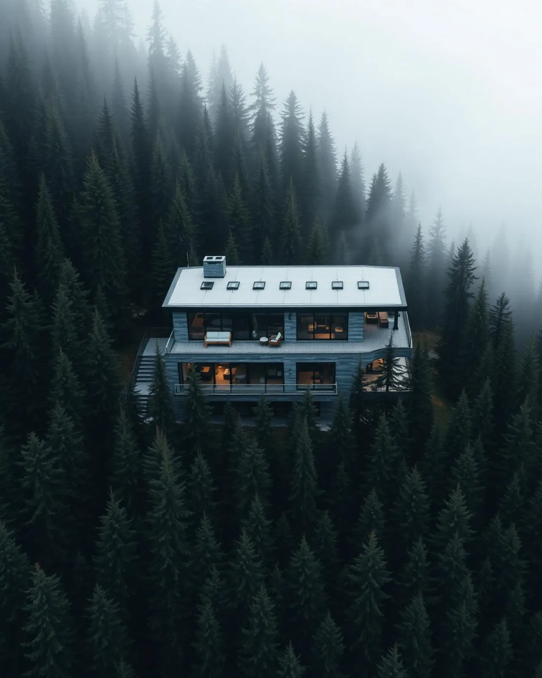
What gets shot in Point McKay.
- luxury residential
- municipal infrastructure
Every subject above is delivered through the same aerial photography and cinematography services, scoped and quoted before the shoot is booked.
What the research actually says.
Industry standard
The National Association of Realtors maintains dedicated guidance on commercial drone use in listing marketing, including the certification and airspace rules an operator must meet.
Aerial media is an established part of listing marketing with real compliance requirements. The question is whether your operator meets them, not whether to use it.
30% more
McKinsey research cited across the inspection sector finds that organisations relying on manual inspection spend materially more on maintenance and safety than those using drone-based assessment.
For a portfolio of assets, the inspection method is a recurring cost line, not a one-off purchase. The differential compounds annually.
Reported by McKinsey & Company, cited by Averroes, 2025
Up to 75% less time
McKinsey & Company reports that drones can cut surveying time by up to three quarters against traditional ground methods — a three-day site survey completed inside one.
On a consulting engagement billed by the day, survey duration is not a line item. It is the schedule.
Reported by McKinsey & Company, cited by Datumate, 2025
Point McKay and what surrounds it.
- Aerial photography in Parkdale1 km · Class C control zone (CYYC)
- Aerial photography in Montgomery1 km · CYYC control zone edge
- Aerial photography in St. Andrews Heights1 km · CYYC control zone edge
- Aerial photography in Arbour Lake9 km · CYYC control zone edge
- Aerial photography in Banff Trail1 km · Class C control zone (CYYC)
How a Point McKay shoot runs.
- 01Scope and quote. Most Point McKay work is luxury residential or municipal infrastructure, and the shot list follows the subject. Mobilisation is stated separately from the fee.
- 02Airspace. Point McKay sits under Calgary International Airport (CYYC), 10 km away. Authorisation is filed with NAV CANADA and the date is confirmed once it is in hand.
- 03Weather window. Chinook belt with pronounced valley funnelling. The narrowing Bow corridor accelerates west wind past Point McKay, so conditions at the waterline are read separately from the citywide picture. The corridor photographs best in the calm of early morning, in any season. Autumn colours the pathway's cottonwoods; winter keeps the Bow open and dark against snow; the slopes across the river hold white long after the flats clear.
- 04Shoot day. About 15 minutes from the Calgary base. Launch from the subject property with the owner's permission; takeoff and landing in City of Calgary parks and on pathways is restricted by bylaw; launches are staged from private property with the owner's permission.
- 05Delivery. Edited files delivered digitally — no attendance required at any stage, which is how out-of-province owners of Point McKay property are served.
Point McKay questions, answered.
Can you fly a drone next to the Foothills Medical Centre heliport?
Yes, under discipline. Point McKay sits inside the CYYC Class C control zone about 10 km from Calgary International, so flights need an Advanced RPAS certificate and a NAV CANADA authorisation. The Foothills Medical Centre heliport is immediately beside the community, and every route is planned to keep clear of its approaches.
When is the river corridor at Point McKay calm enough to fly?
Most reliably early in the day. The Bow valley narrows past Edworthy Park and funnels west wind through the corridor, so afternoons can gust at the waterline while higher ground sits calm. Bookings are planned against the valley's own conditions rather than the citywide forecast, with a fallback window held.
What does aerial photography add for a riverside property here?
Position. Point McKay is a narrow band between the Bow and the rising ground behind it, and an elevated frame shows the water, the Bow River Pathway and the slopes of Edworthy Park in one composition. No street-level photograph can place a property inside that geography.
Point McKay is 1 km from Parkdale.
Every quote starts at the Calgary base, which is why identical subjects in Point McKay and Parkdale — 1 km apart — price differently.
Nearby
Coverage
Airspace information last verified . Rules change — every flight is re-checked before it happens.