
Drone photography in Sundance, Alberta
Sundance's street network reads from altitude as one closed figure: Sundance Road SE rings the community, Sunmills Drive SE and Sunlake Circle SE coil inward toward Lake Sundance, and every line stops dead where Fish Creek Provincial Park begins. A ground photograph cannot show where an address sits inside that figure — how near the water lies, how close the park edge runs — and that position is the entire premium of the community.
Does Fly4MEdia fly drones in Sundance?
Yes. Fly4MEdia flies drone photography and cinematography in Sundance, Alberta. The airspace is Class G uncontrolled. Authorisation is not normally required in this airspace. Typical mobilisation from the Calgary base is 25 minutes.
Sundance at a glance.
| Base of operations | Calgary, Alberta |
|---|---|
| Drive time from base | 25 minutes |
| Airspace | Class G uncontrolled |
| Nearest aerodrome | Kirkby Field (Indus) |
| Authorisation required | No |
| Flight status | Flown routinely |
| Certification | Transport Canada RPAS — Advanced Operations |
| Response | Reply within one business day |
| Airspace last verified | 2026-09-01 |
Flying Sundance: the ground truth.
Sundance's street network reads from altitude as one closed figure: Sundance Road SE rings the community, Sunmills Drive SE and Sunlake Circle SE coil inward toward Lake Sundance, and every line stops dead where Fish Creek Provincial Park begins. A ground photograph cannot show where an address sits inside that figure — how near the water lies, how close the park edge runs — and that position is the entire premium of the community.
A boundary-line orbit that holds Lake Sundance and the Fish Creek treeline in the same frame puts the address back in its geography, delivered in the standard turnaround.
Airspace. Sundance sits in uncontrolled Class G airspace, clear of the charted Calgary-area control zones and about 15 km from Kirkby Field (Indus). Authorisation is not normally required here. Before any flight, the exact site and altitude are checked against NAV Drone. This is a corridor-level assessment; the specific address is confirmed against NAV Drone before every flight.
Terrain. A mature lake suburb on the table above Fish Creek — flat, curving streets wrapped around the engineered water of Lake Sundance, with the land dropping into the wooded creek valley along the community's southern boundary.
Wind. Chinook-belt west wind. The Fish Creek valley along the community's south edge gives the wind a channel to run in, so conditions at the park boundary can read stronger than they do deep in the loops.
Light. The community's aerial character follows the lake and the canopy: ice-off in spring opens the water window, the trees are in full leaf by early summer, and west light late in the day puts reflections on Lake Sundance while the Fish Creek valley falls into shadow first.
On the ground. Calgary's parks bylaws keep drone takeoff and landing out of municipal parks and pathways, and Fish Creek Provincial Park carries its own provincial restrictions — launches are staged from private property with the owner's consent. About 25 minutes from the Calgary base — a comfortable same-day booking. Chaparral, Walden or Deer Run can be added to the same trip when the light allows.
From the reel
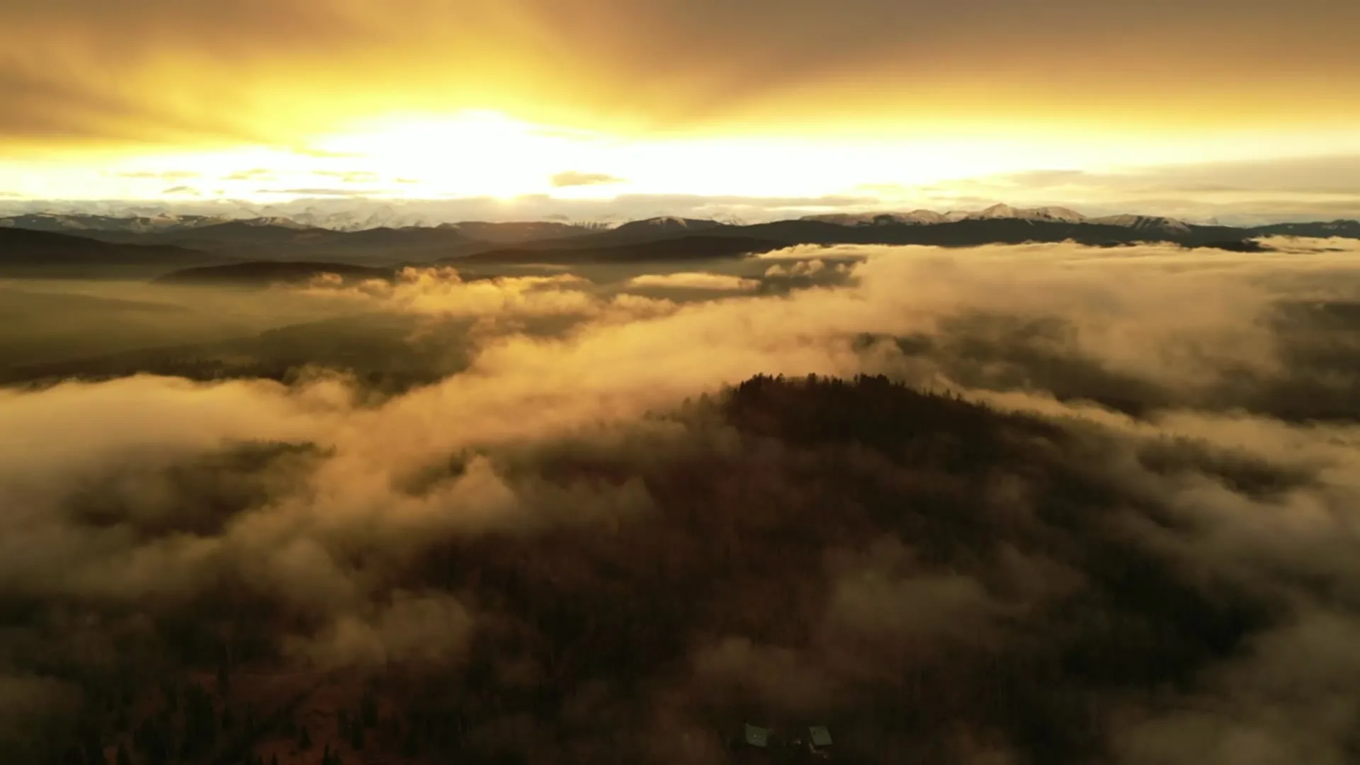
What gets shot in Sundance.
- luxury residential
- municipal infrastructure
Every subject above is delivered through the same aerial photography and cinematography services, scoped and quoted before the shoot is booked.
What the research actually says.
18 days to 4 hours
Marathon Pipe Line cut its response time to potential pipeline issues from eighteen days to four hours using drone inspection, preventing six major incidents in the first year at a reported saving of $8.3 million.
On linear infrastructure the cost is not the inspection. It is the time between a fault existing and anyone knowing about it.
Reported by Power Engineering, 2025
Industry standard
The National Association of Realtors maintains dedicated guidance on commercial drone use in listing marketing, including the certification and airspace rules an operator must meet.
Aerial media is an established part of listing marketing with real compliance requirements. The question is whether your operator meets them, not whether to use it.
USD 9.83 billion
Emergen Research sizes the global drone inspection and monitoring market at nearly ten billion dollars in 2025, growing at a 16.4% compound annual rate.
Aerial capture is a procured category with established vendors and comparable rates, not an experimental line item requiring internal justification.
Emergen Research, 2025
Sundance and what surrounds it.
- Aerial photography in Chaparral5 km · Class G uncontrolled
- Aerial photography in Walden6 km · Class G uncontrolled
- Aerial photography in Deer Run5 km · Class G uncontrolled
- Aerial photography in Deer Ridge5 km · Class G uncontrolled
- Aerial photography in Acadia7 km · Class G uncontrolled
How a Sundance shoot runs.
- 01Scope and quote. Most Sundance work is luxury residential or municipal infrastructure, and the shot list follows the subject. Mobilisation is stated separately from the fee.
- 02Airspace. Checked against NAV Drone from the address, not the postcode. Sundance is class g uncontrolled, so authorisation is not normally required — but Kirkby Field (Indus) is 15 km away and its circuit is plotted regardless.
- 03Weather window. Chinook-belt west wind. The Fish Creek valley along the community's south edge gives the wind a channel to run in, so conditions at the park boundary can read stronger than they do deep in the loops. The community's aerial character follows the lake and the canopy: ice-off in spring opens the water window, the trees are in full leaf by early summer, and west light late in the day puts reflections on Lake Sundance while the Fish Creek valley falls into shadow first.
- 04Shoot day. About 25 minutes from the Calgary base. Launch from the subject property with the owner's permission; calgary's parks bylaws keep drone takeoff and landing out of municipal parks and pathways, and Fish Creek Provincial Park carries its own provincial restrictions — launches are staged from private property with the owner's consent.
- 05Delivery. Edited files delivered digitally — no attendance required at any stage, which is how out-of-province owners of Sundance property are served.
Sundance questions, answered.
Is airspace authorisation needed to fly over Lake Sundance?
Normally, no. Sundance sits in uncontrolled Class G airspace roughly 15 km from Kirkby Field at Indus, outside the charted Calgary control zones, so routine flights proceed without authorisation. The specific launch point and altitude are still confirmed against NAV Drone before every booking is flown.
Can you fly inside Fish Creek Provincial Park for a Sundance shoot?
No — the park is provincial land, and drone takeoff and landing inside it are not available for this work. Park-edge frames are captured instead from outside the boundary, launched from private property in Sundance, which is enough to place the wooded valley behind a listing.
When does Lake Sundance photograph best from the air?
Between spring ice-off and freeze-up, when the water holds colour and reflections instead of reading as a flat white field. Within that window, calm evenings are the prize — the lake mirrors the light, the mature canopy is in leaf, and the community shows the setting buyers pay for.
Sundance is 5 km from Chaparral.
Mobilisation is quoted from the Calgary base, so a shoot in Sundance and one 5 km away in Chaparral are priced differently even when the subject is identical.
Nearby
Coverage
Airspace information last verified . Rules change — every flight is re-checked before it happens.